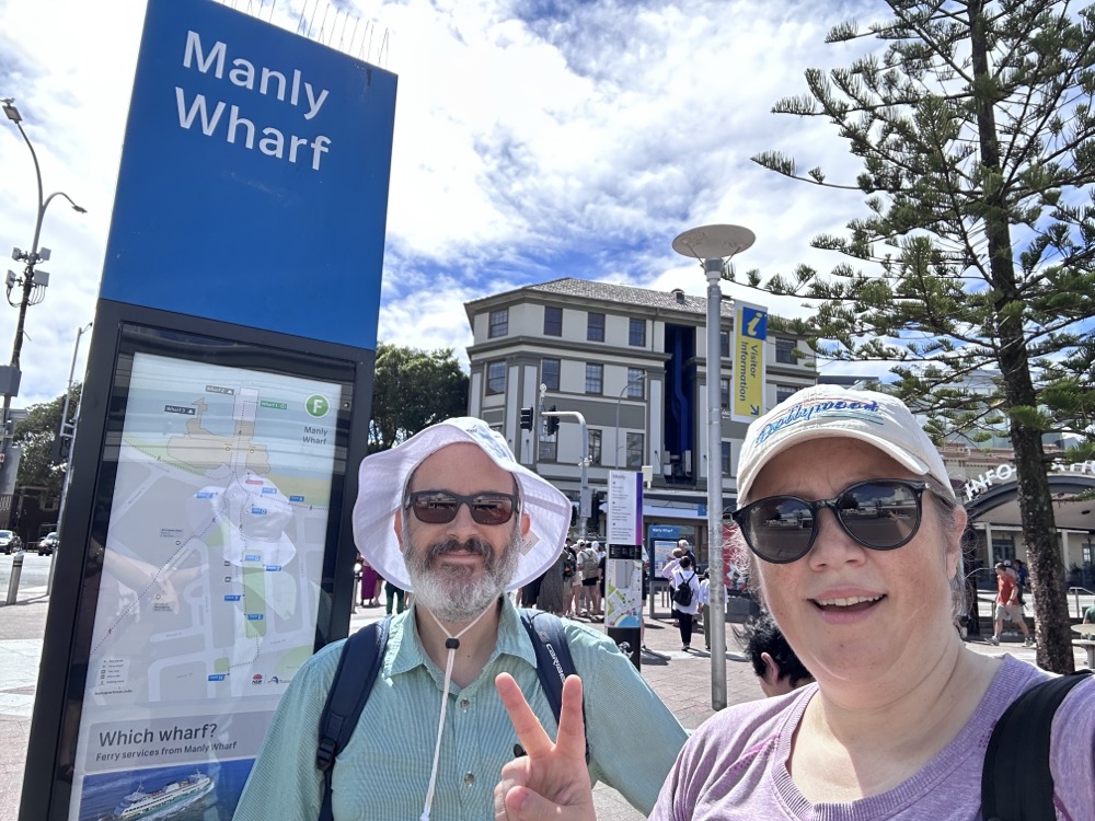
How has it been more than a month since we started this effort?! Yesterday Rodd and I finally made it out for the next leg of our epic 80km Manly to Bondi walk. We started where we ended last time, at the Manly Ferry Wharf. This time we headed west along the beach esplanade at Manly Cove.
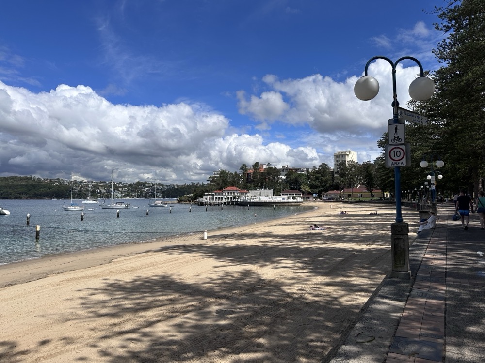
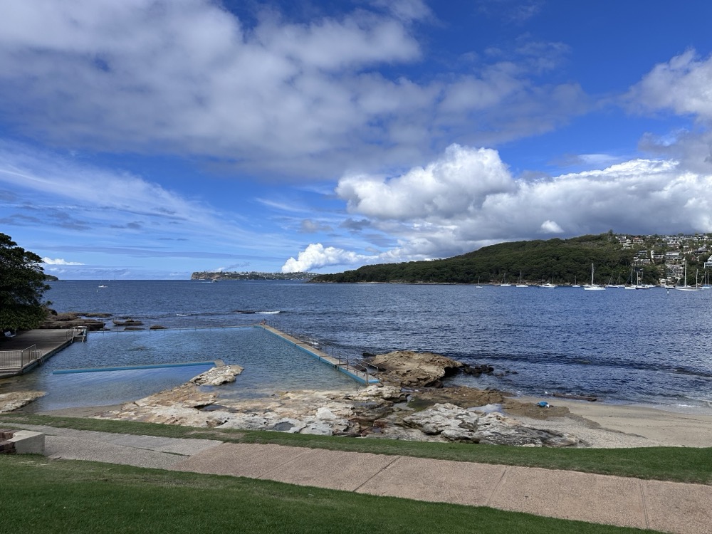
There were a few folks on the beach, but not nearly as many as when we were here on Christmas Day! Once we were past Delwood Beach, we were in uncharted territory as neither Rodd nor I had ever explored this part of the harbour. A bit farther along we came upon Fairlight Beach, with its lovely rockpool at the eastern side.
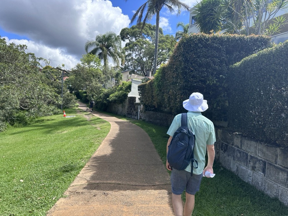
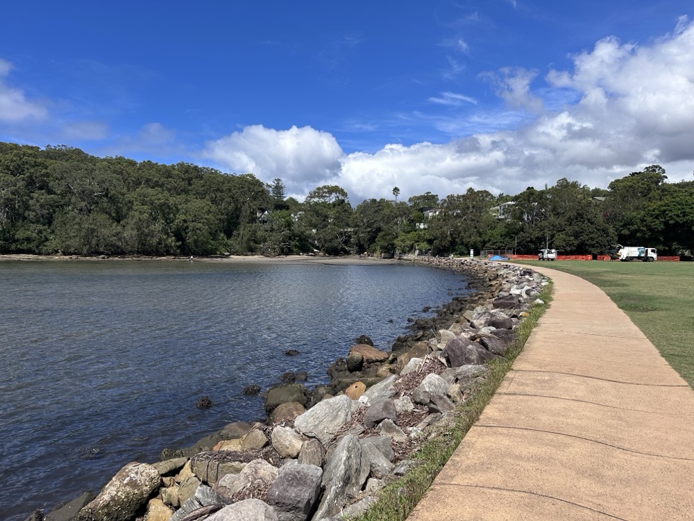
The path along North Harbour is super easy to follow and takes you past some lovely posh houses in Balgowlah.
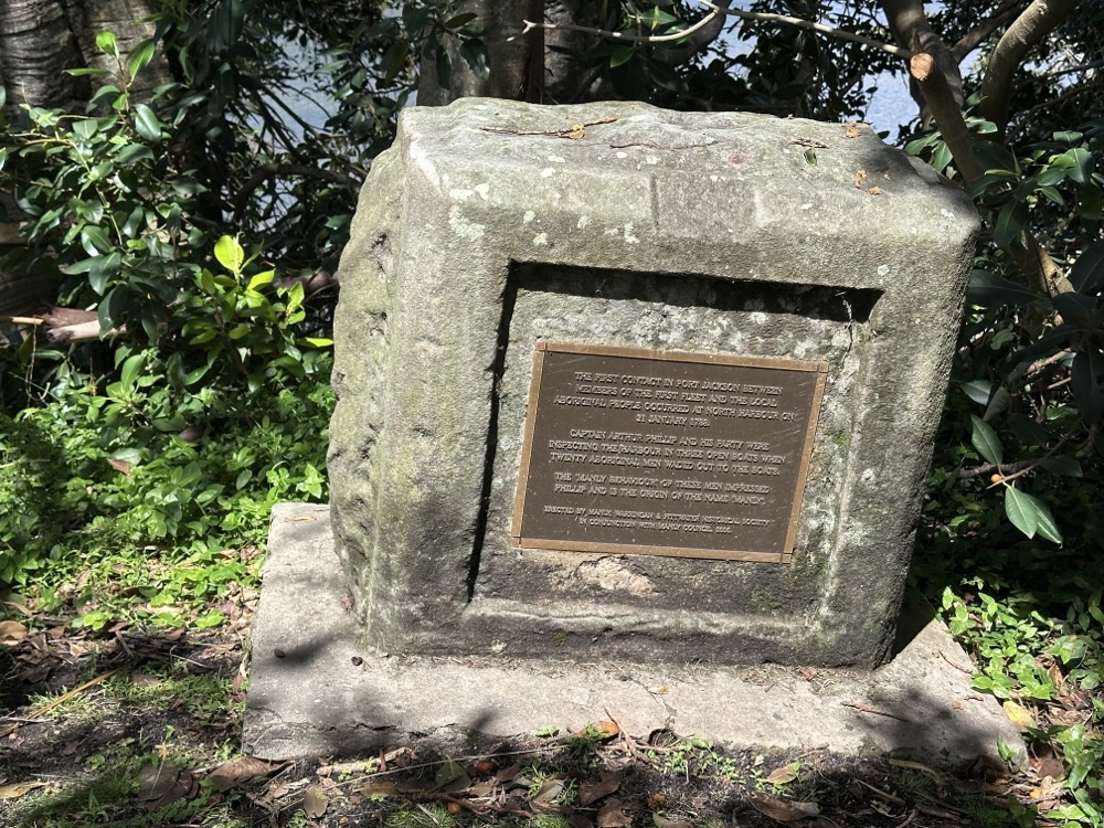
Just before we got to North Harbour Reserve, we found a monument commemorating first contact with the local Aboriginal people. It reads:
THE FIRST CONTACT IN PORT JACKSON BETWEEN MEMBERS OF THE FIRST FLEET AND THE LOCAL ABORIGINAL PEOPLE OCCURRED AT NORTH HARBOUR ON 21 JANUARY 1788.
CAPTAIN ARTHUR PHILLIP AND HIS PARTY WERE INSPECTING THE HARBOUR IN THREE OPEN BOATS WHEN TWENTY ABORIGINAL MEN WADED OUT TO THE BOATS.
THE ‘MANLY BEHAVIOUR’ OF THESE MEN IMPRESSED PHILLIP AND IS THE ORIGIN OF THE NAME ‘MANLY.’
ERECTED BY MANLY, WARRINGAH & PITTWATER HISTORICAL SOCIETY IN CONJUNCTION WITH MANLY COUNCIL, 2006.
Which is lovely and all, until I found out that the manly behaviour so impressed him he decided to kidnap a few of them to act as cultural go-betweens. It’s not a nice story.
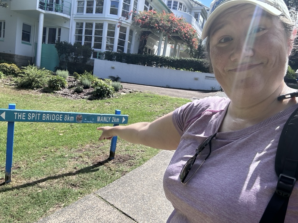
At North Harbour Reserve, we discovered that we were 2km down, only 8km to go to reach the Spit!
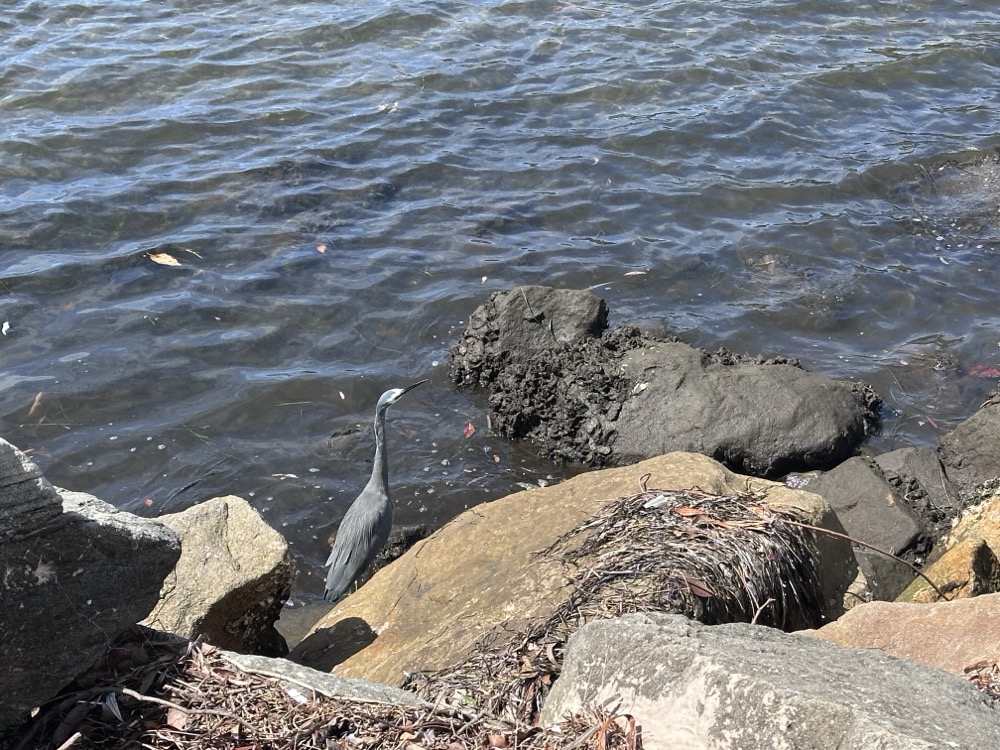
We were hoping to see some wildlife on our hike, and we weren’t disappointed. Rodd spotted a lovely heron in the water at the Reserve.
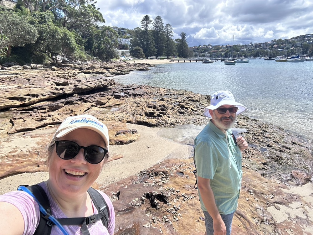
It really was a beautiful day. Probably a little warmer than we would’ve liked, but the forecast for the next week is even hotter so this was really our only chance to get out there. We had lots of water and loaded up on sunscreen.
The path from Manly to the Spit actually crosses several beaches, and each time the guide gives you two options. The “low tide” option has you cross the beach or mudflats, while the “high tide” has you climb up to the road and go around. Fortunately for us, the tide was out and we were able to use the low routes. Here we are scrambling across the rocks and mudflats at the southwestern end of North Harbour.
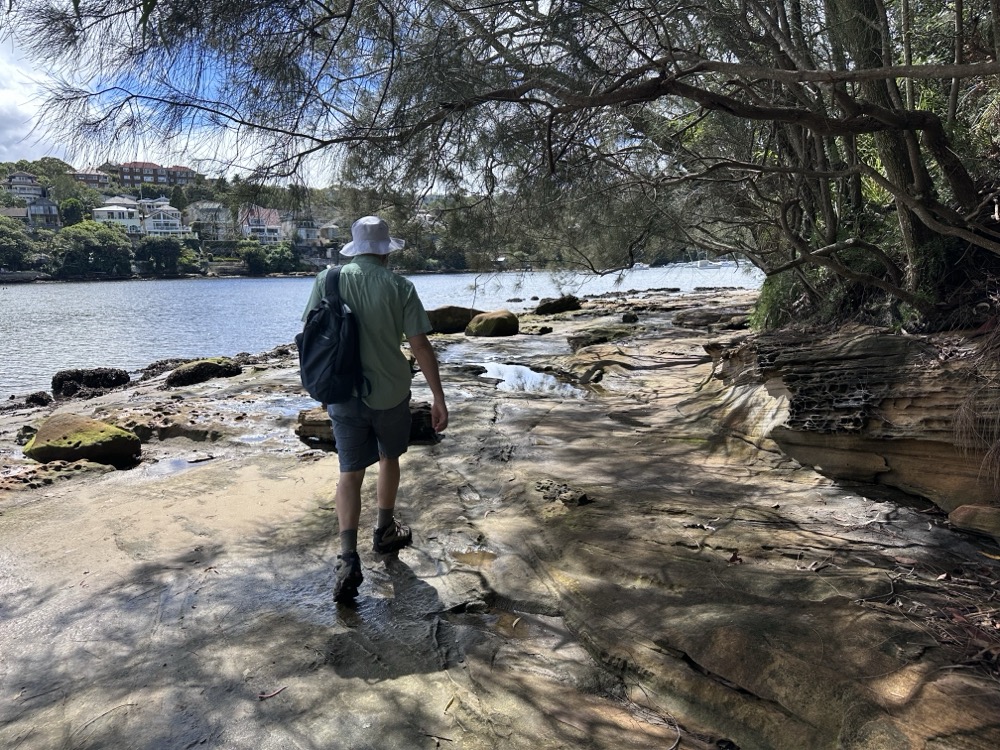
We had a lot of fun looking at the rockpools. It was a little treacherous, just because it had rained the previous day and sometimes things were still a bit slick. Here we are walking along Reef Bay with Forty Baskets Beach behind us in the distance.
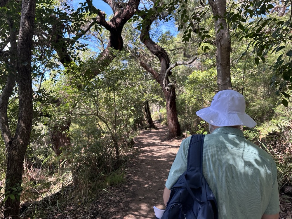
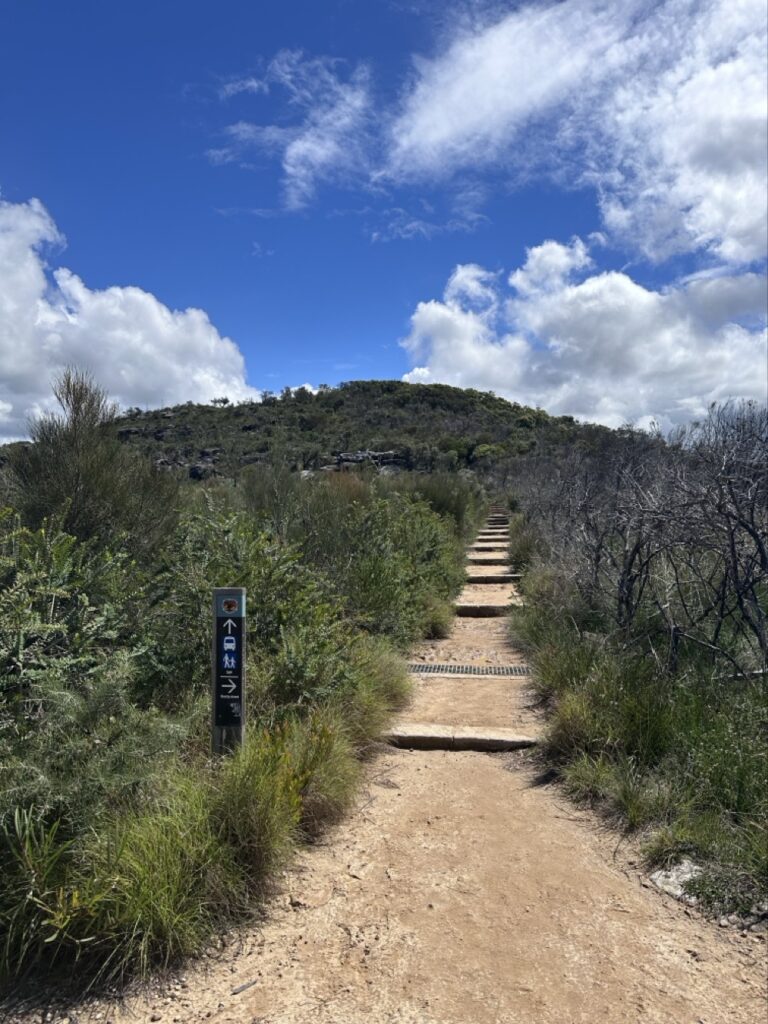
We were now entering the most challenging portion of the hike, through the National Park at Dobroyd Head. The paved path ended and we were away from houses and under the trees now. There was a lot of mud from the recent rains that we had to dodge throughout the next couple kms.
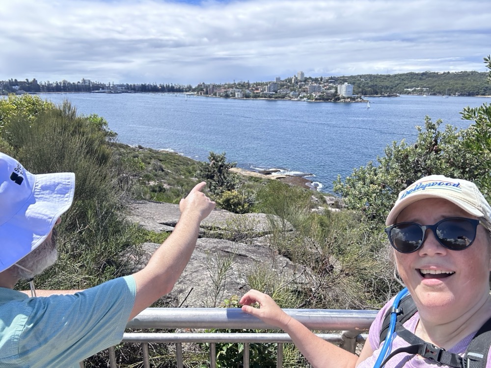
This part has you climbing 70+ meters in elevation as you scramble up a huge ridge of rock. We had to pause often to catch our breath. It was hard going! We made it to the Lower Lookout and paused to take in the view. Rodd is pointing back to Manly across the water.
More climbing. Each of these little terraces was a mudpit, and we had to pick our way very carefully through it. Exhausting.
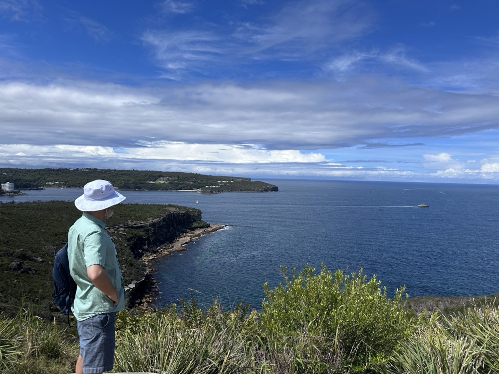
Finally we made our way to the very top, which has a stunning view out the Heads to the Pacific Ocean. Rodd was intrigued by the little huts we could see down at the water’s edge. These are the historic fishermen’s huts of Crater Cove, and apparently there is a path down to them?! Only for super experienced and fit hikers, I’m guessing.
We continued on. A bit farther along we came across the Grotto Point Aboriginal engraving site and decided to check it out.
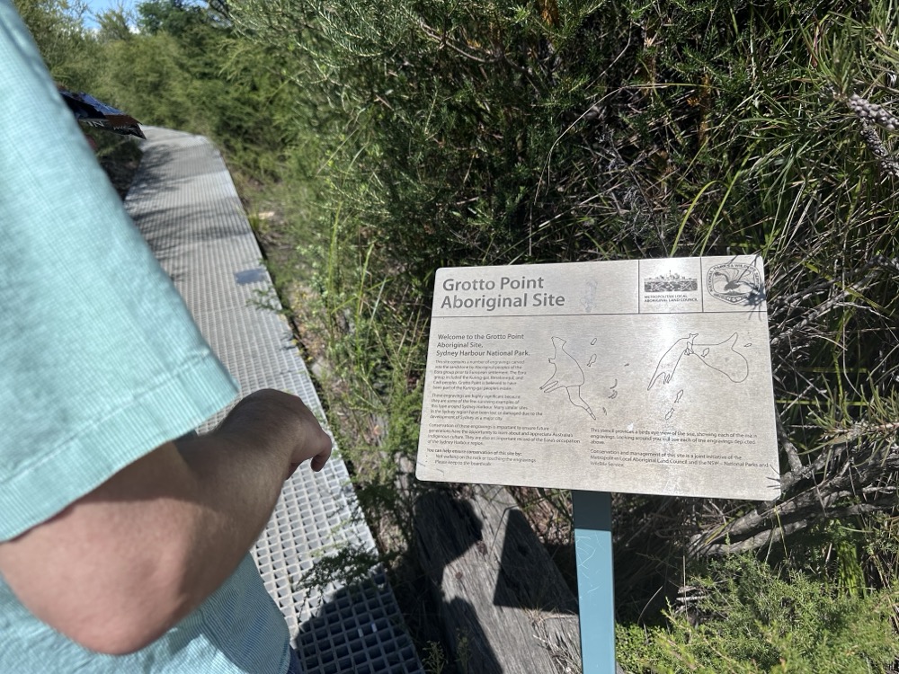
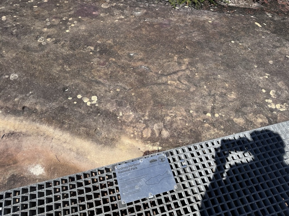
We followed the walkways around where each of the engravings is signposted. I’ll be honest – most of them were pretty difficult to see, even with the signs. Not sure whether that’s just erosion or whether it was the wrong time of day. This one of a fish was one of the few that I could easily see.
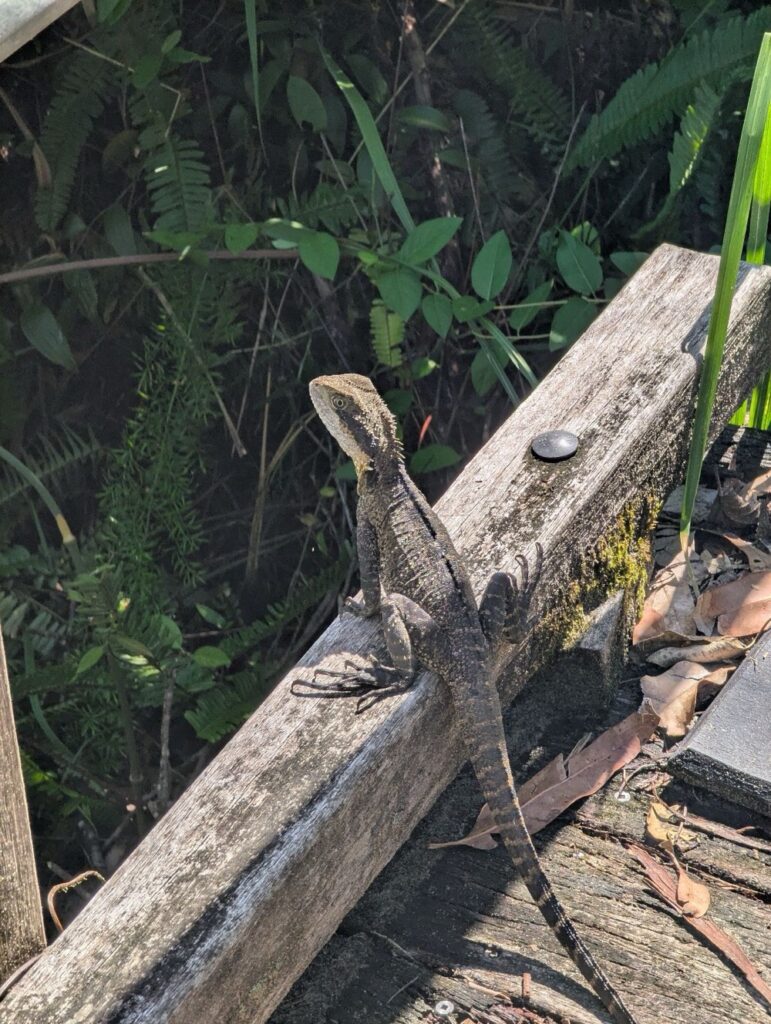
We were finally past the halfway point of the hike, and the next two kilometers were mostly scrambling down the headland. It was narrow and muddy and wet and treacherous, and we took our time so we didn’t fall. It didn’t help that there were water dragons everywhere, and they kept scurrying in front of me and startling us. This fellow was sunning himself on a little bridge and didn’t even care about us passing.
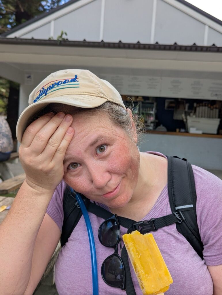
And this is where disaster struck. I was looking down at my feet to make sure I didn’t slip or trip when BAM! I slammed my head into a sawn-off tree branch at the side of the path. I hit it so hard that my sunglasses flew off my face. Thankfully I was wearing a cap, and that kept me from actually splitting my forehead open. It hurt like hell though, and when I lifted my hat so Rodd could check it, we could both feel a large lump starting to swell. We were still quite a ways from the nearest road or shop, and there was nothing really for it other than to keep going. I kept my hat on, figuring that it would act like a bandage and perhaps help to contain the swelling a bit. It took us a good 20-30min to finally get back down to the water’s edge. Here’s Rodd at Grandma’s Beach on the edge of Clontarf Reserve.
There we finally found an open kiosk and I was able to get a cup of ice to put on my head. Here I am holding an ice cube to my lump while eating a popsicle and generally being a sad sack. 😂 I also popped a couple paracetamol to help with the pain until I could get home.
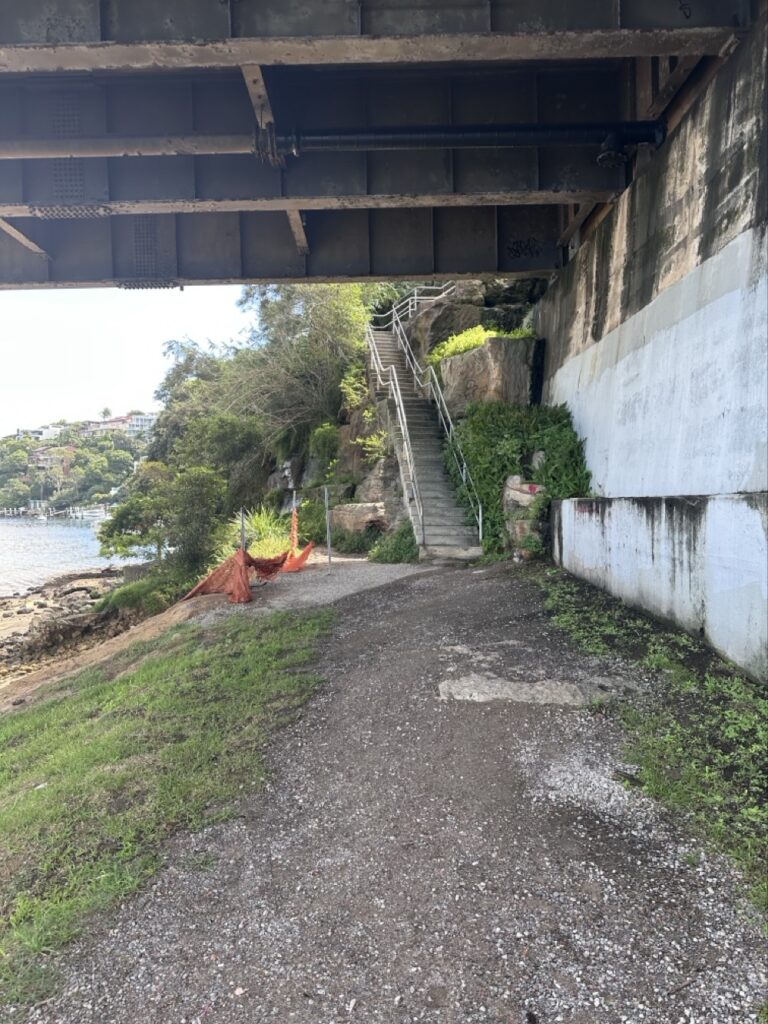
We soldiered on. We were cramping and tired at this point, but finally the Spit Bridge was in sight! We crossed under it…
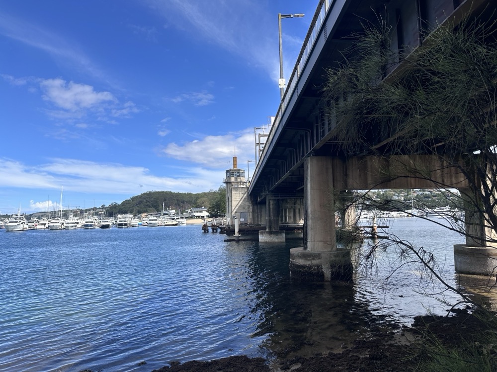
…and then slowly climbed the stairs up to the top.
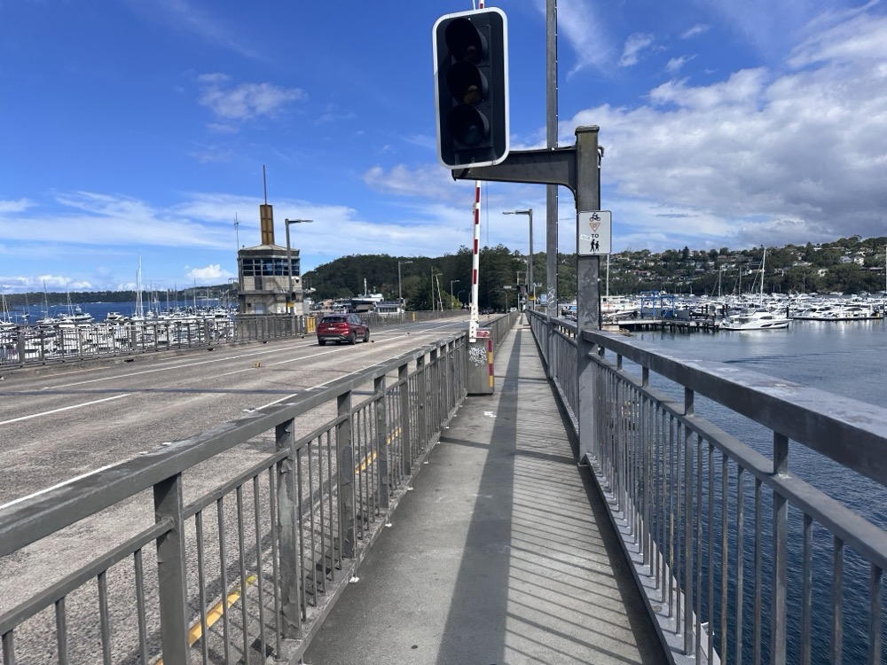
It’s not the nicest bridge crossing in the world – lots of cars whizzing past – but we were almost at the finish line.
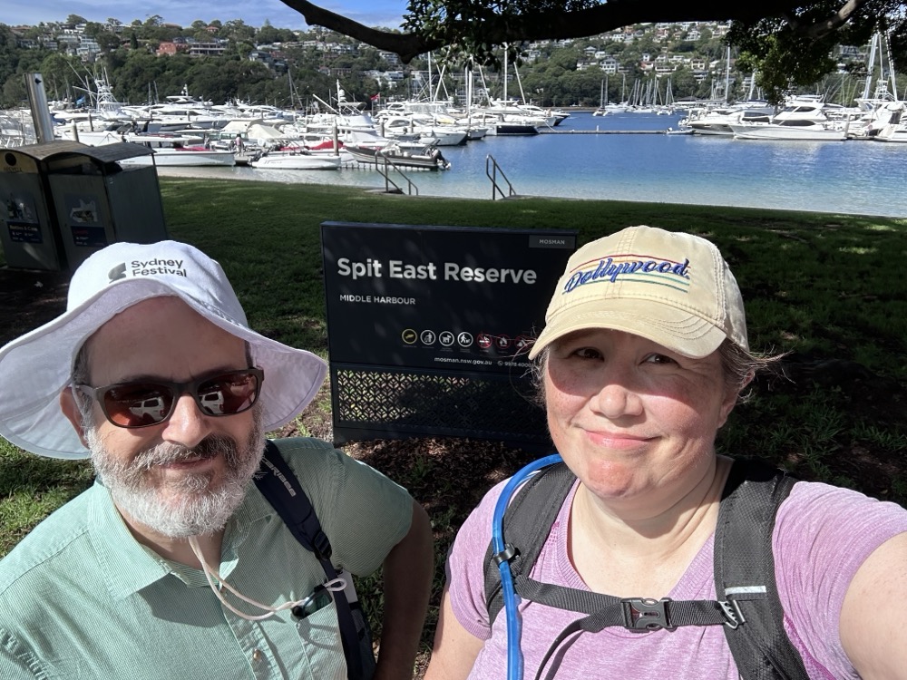
And finally! This was our designated stopping point for the second leg.
Here’s our Strava map for this leg. The really annoying thing was that, until the injury, I had been feeling a lot stronger and healthier than on our previous one! Oh well, lesson learned. Always look up periodically kids! 🩷