Tag: manlytobondi

  • Manly to Bondi Walk – Leg #2

    Manly to the Spit - starting point

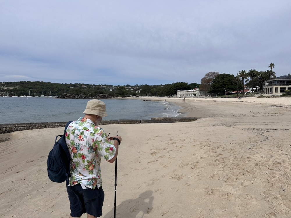
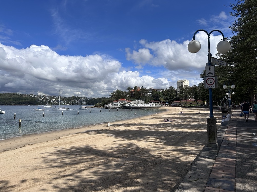
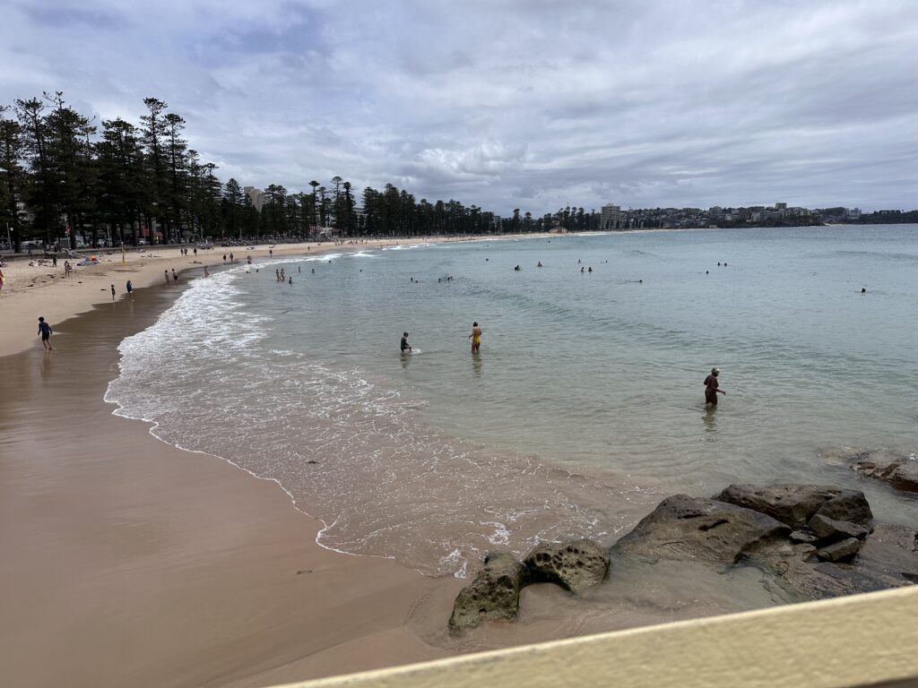
    How has it been more than a month since we started this effort?! Yesterday Rodd and I finally made it out for the next leg of our epic 80km Manly to Bondi walk. We started where we ended last time, at the Manly Ferry Wharf. This time we headed west along the beach esplanade at Manly Cove.

    Manly Cove Beach

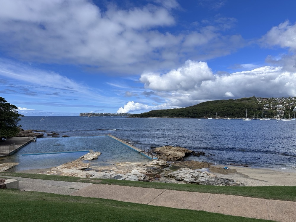
    There were a few folks on the beach, but not nearly as many as when we were here on Christmas Day! Once we were past Delwood Beach, we were in uncharted territory as neither Rodd nor I had ever explored this part of the harbour. A bit farther along we came upon Fairlight Beach, with its lovely rockpool at the eastern side.

    Fairlight Beach

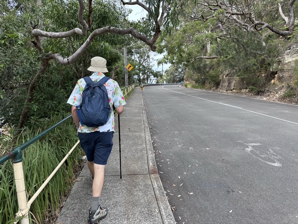
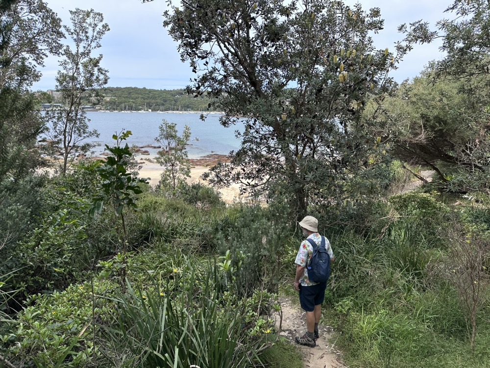
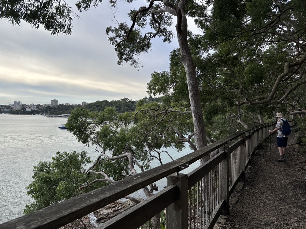
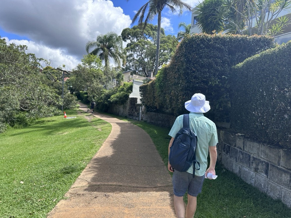
    The path along North Harbour is super easy to follow and takes you past some lovely posh houses in Balgowlah.

    Path in Balgowlah

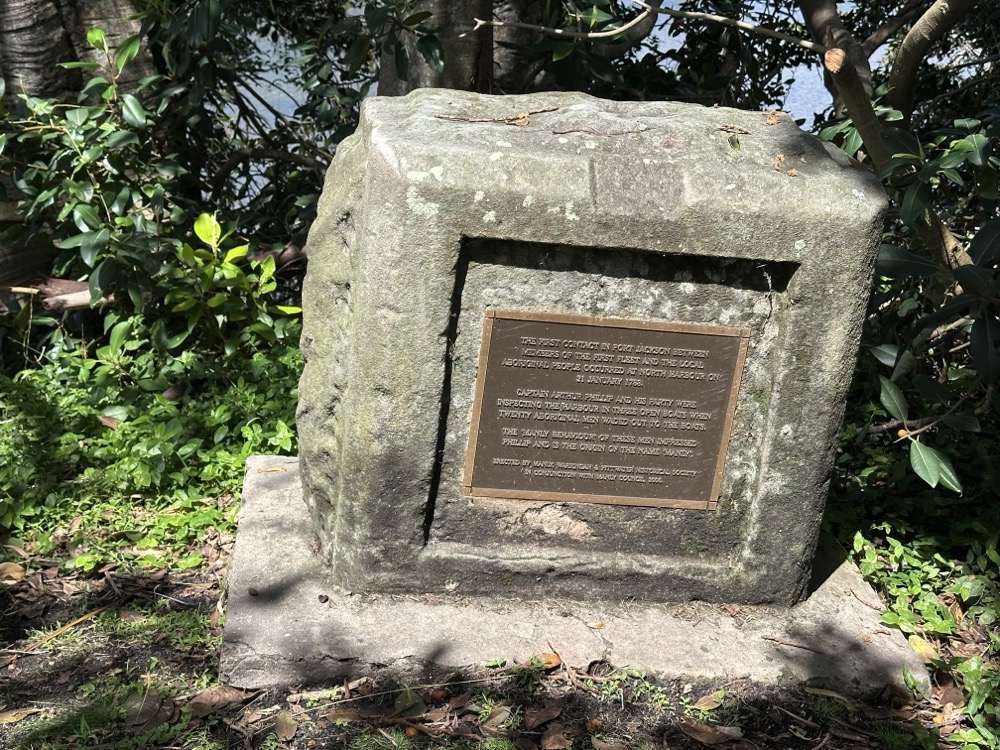
    Just before we got to North Harbour Reserve, we found a monument commemorating first contact with the local Aboriginal people. It reads:

    THE FIRST CONTACT IN PORT JACKSON BETWEEN MEMBERS OF THE FIRST FLEET AND THE LOCAL ABORIGINAL PEOPLE OCCURRED AT NORTH HARBOUR ON 21 JANUARY 1788.

    CAPTAIN ARTHUR PHILLIP AND HIS PARTY WERE INSPECTING THE HARBOUR IN THREE OPEN BOATS WHEN TWENTY ABORIGINAL MEN WADED OUT TO THE BOATS.

    THE ‘MANLY BEHAVIOUR’ OF THESE MEN IMPRESSED PHILLIP AND IS THE ORIGIN OF THE NAME ‘MANLY.’

    ERECTED BY MANLY, WARRINGAH & PITTWATER HISTORICAL SOCIETY IN CONJUNCTION WITH MANLY COUNCIL, 2006.

    Which is lovely and all, until I found out that the manly behaviour so impressed him he decided to kidnap a few of them to act as cultural go-betweens. It’s not a nice story.

    First contact monument

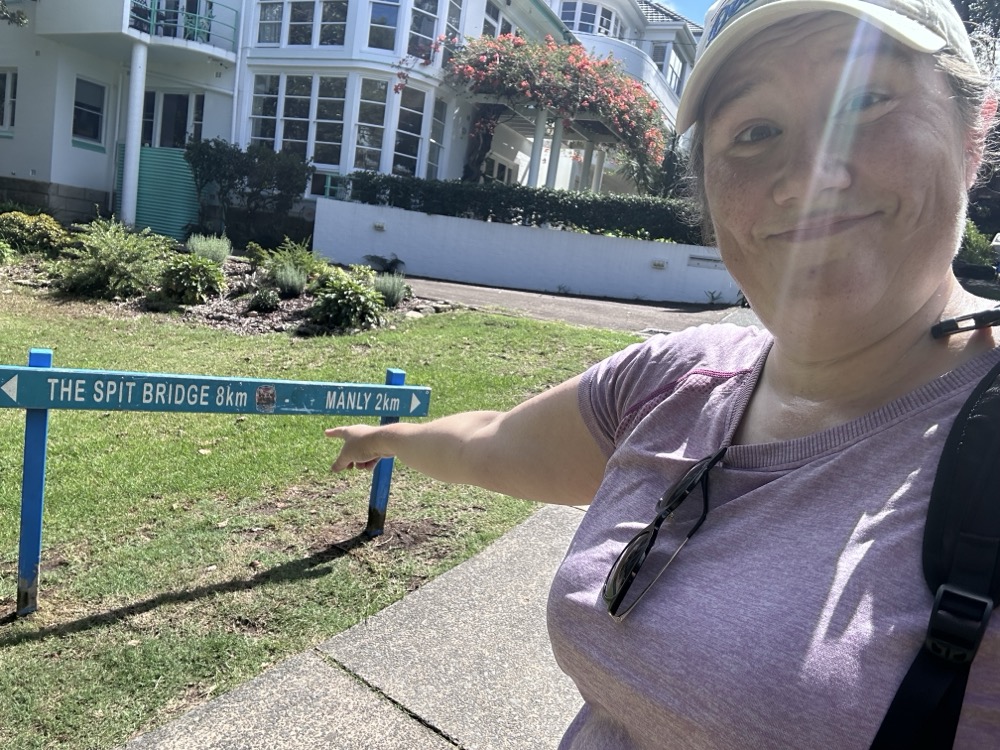
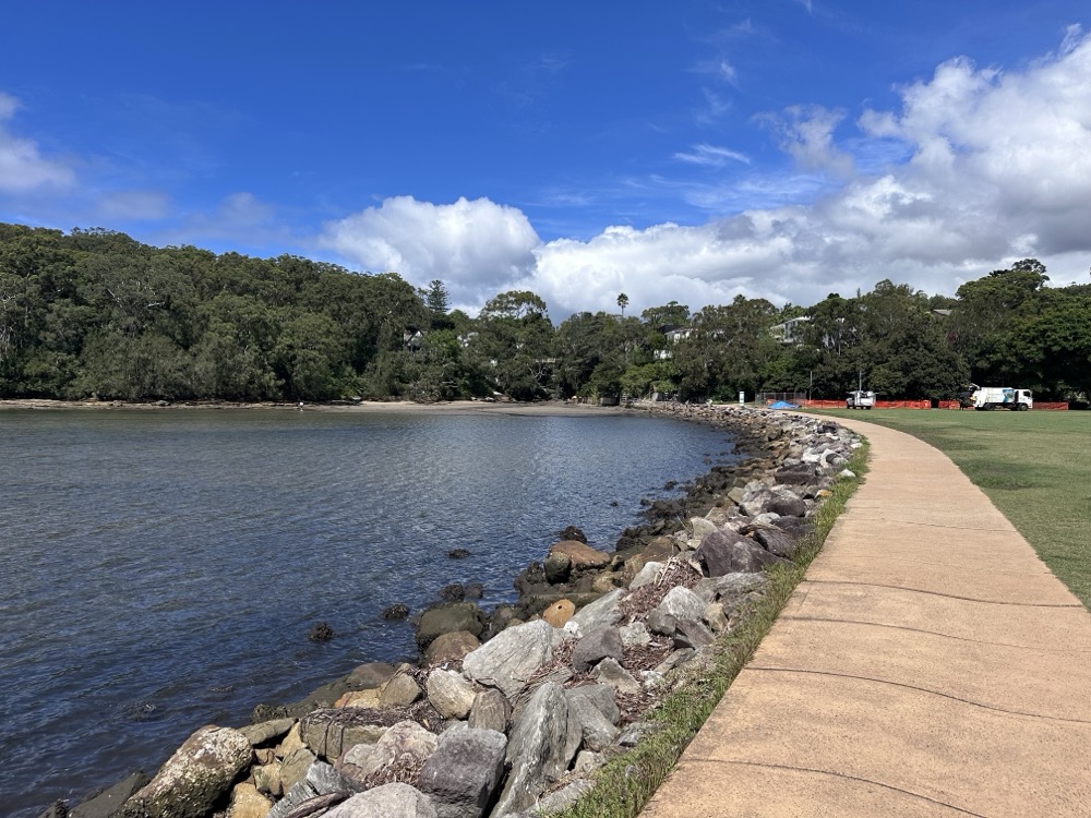
    At North Harbour Reserve, we discovered that we were 2km down, only 8km to go to reach the Spit!
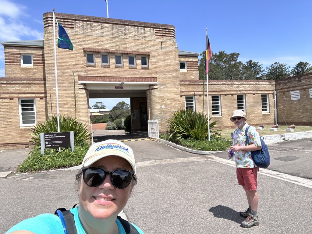
    8km to go!
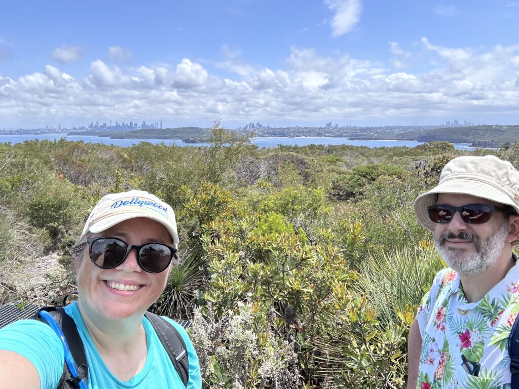
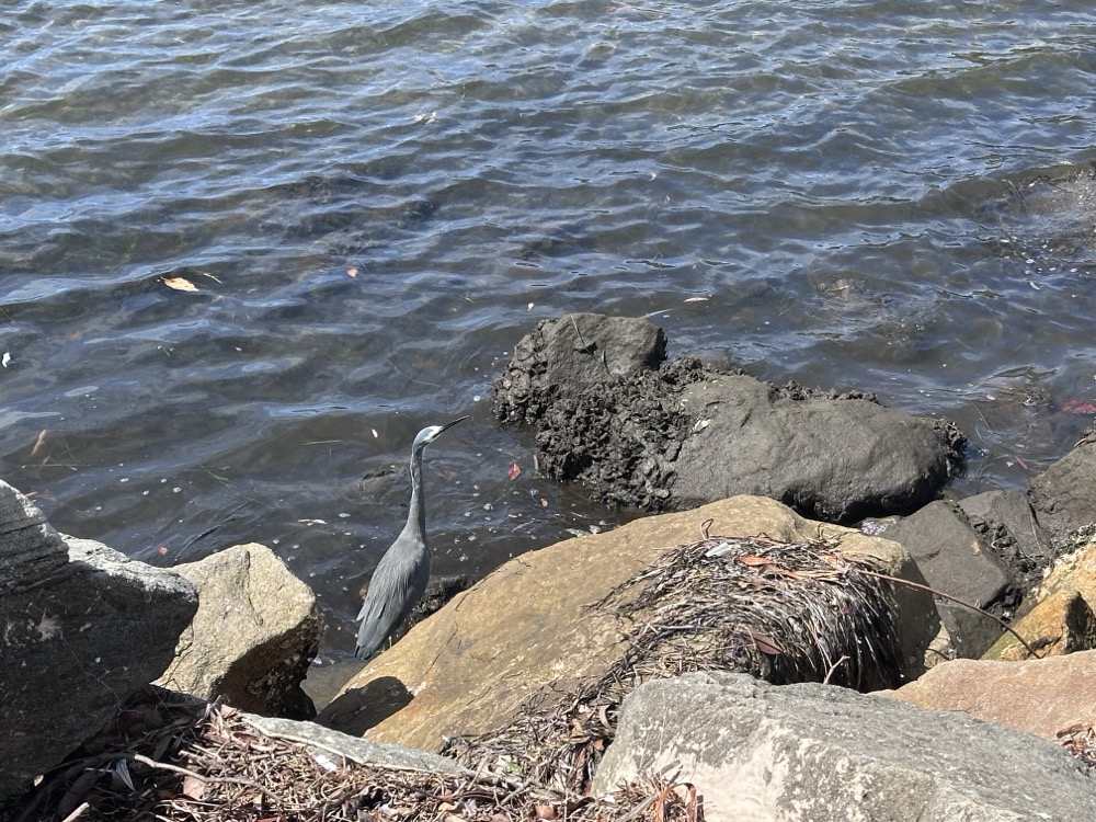
    We were hoping to see some wildlife on our hike, and we weren’t disappointed. Rodd spotted a lovely heron in the water at the Reserve.

    Heron

    It really was a beautiful day. Probably a little warmer than we would’ve liked, but the forecast for the next week is even hotter so this was really our only chance to get out there. We had lots of water and loaded up on sunscreen.

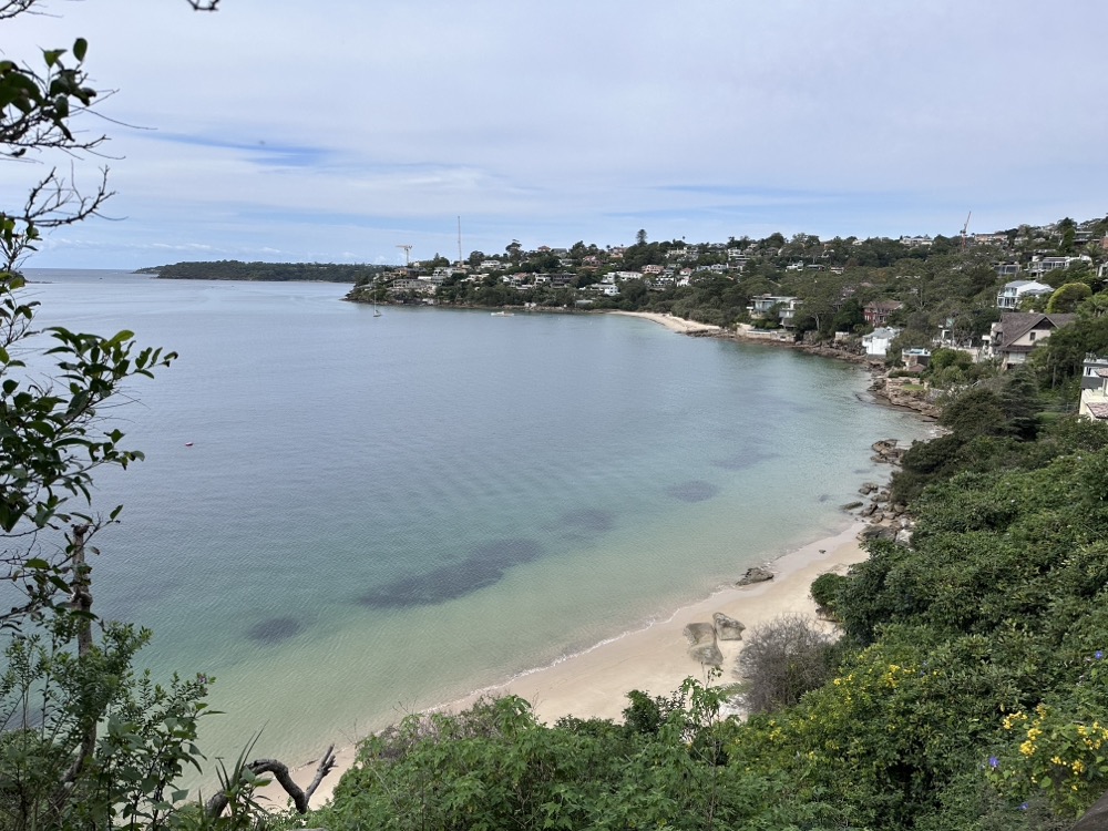
    North Harbour Reserve

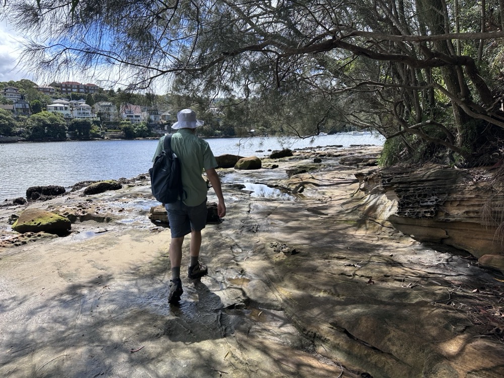
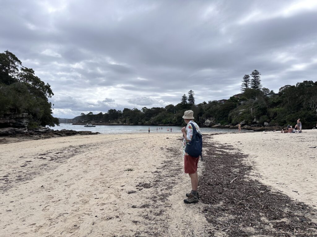
    The path from Manly to the Spit actually crosses several beaches, and each time the guide gives you two options. The “low tide” option has you cross the beach or mudflats, while the “high tide” has you climb up to the road and go around. Fortunately for us, the tide was out and we were able to use the low routes. Here we are scrambling across the rocks and mudflats at the southwestern end of North Harbour.

    Rodd on the mudflats

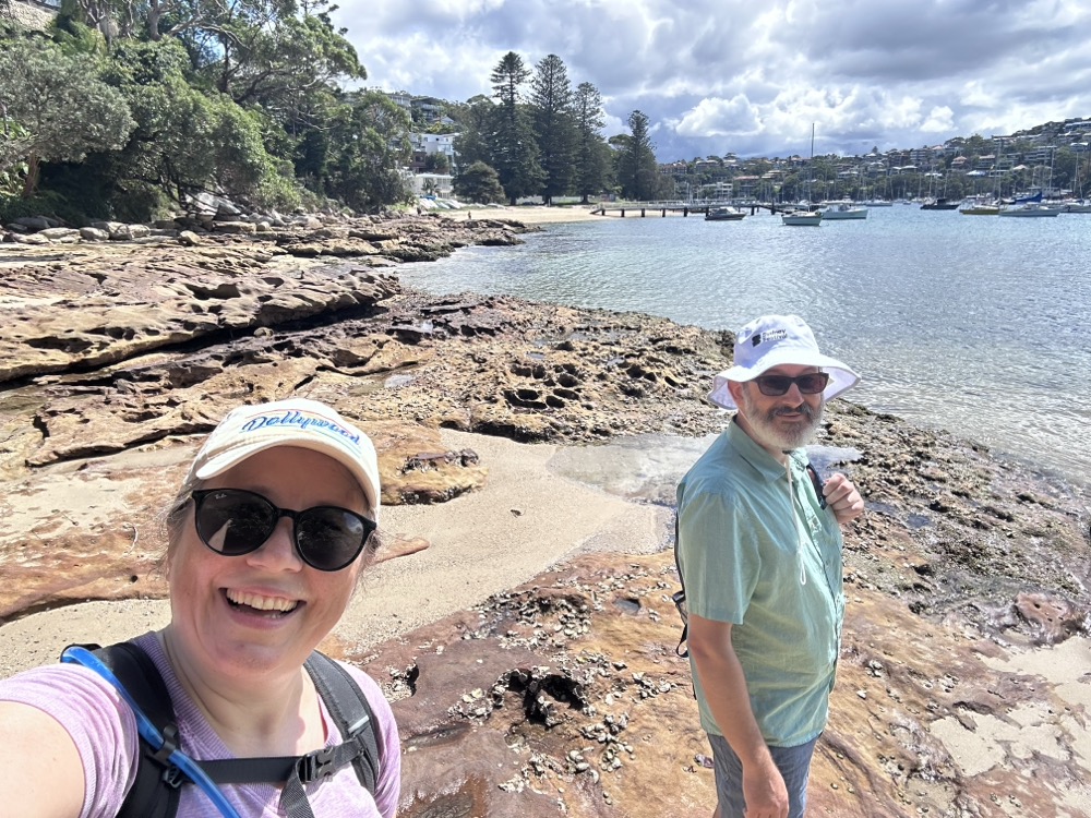
    We had a lot of fun looking at the rockpools. It was a little treacherous, just because it had rained the previous day and sometimes things were still a bit slick. Here we are walking along Reef Bay with Forty Baskets Beach behind us in the distance.

    Rockpools past Forty Baskets Beach

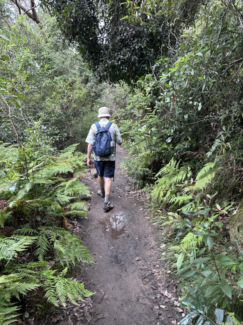
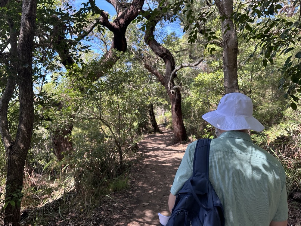
    We were now entering the most challenging portion of the hike, through the National Park at Dobroyd Head. The paved path ended and we were away from houses and under the trees now. There was a lot of mud from the recent rains that we had to dodge throughout the next couple kms.

    Dobroyd Head

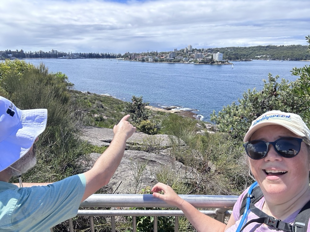
    This part has you climbing 70+ meters in elevation as you scramble up a huge ridge of rock. We had to pause often to catch our breath. It was hard going! We made it to the Lower Lookout and paused to take in the view. Rodd is pointing back to Manly across the water.

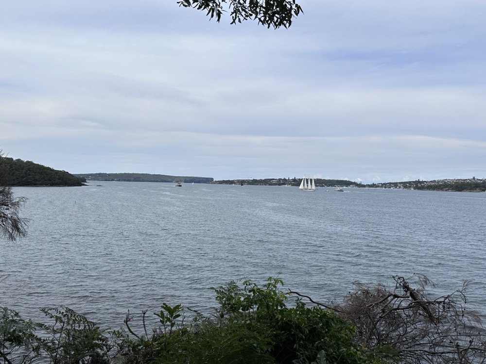
    Lower Lookout view

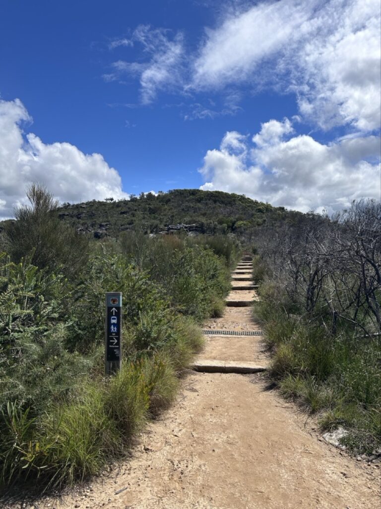
    More climbing. Each of these little terraces was a mudpit, and we had to pick our way very carefully through it. Exhausting.

    More climbing

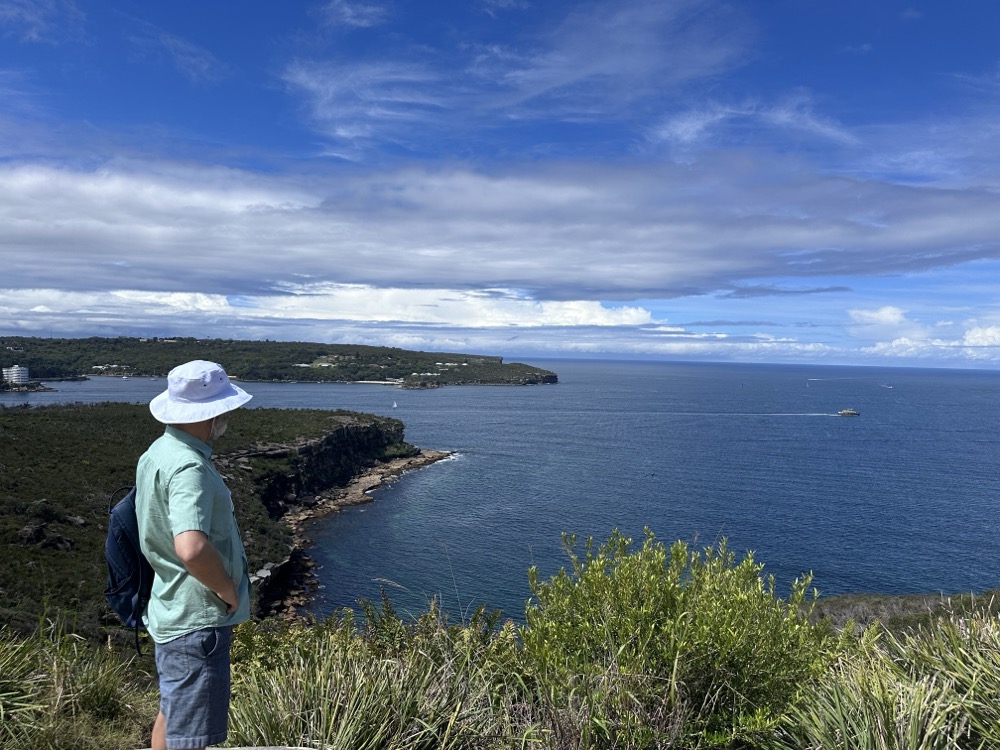
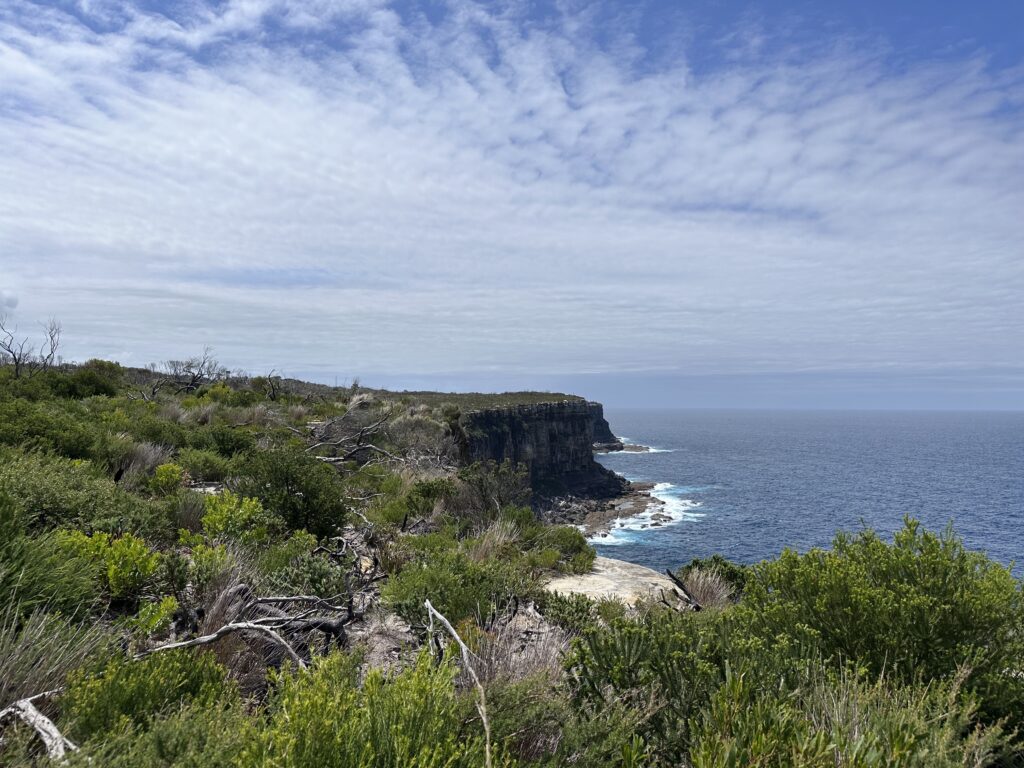
    Finally we made our way to the very top, which has a stunning view out the Heads to the Pacific Ocean. Rodd was intrigued by the little huts we could see down at the water’s edge. These are the historic fishermen’s huts of Crater Cove, and apparently there is a path down to them?! Only for super experienced and fit hikers, I’m guessing.

    Looking out at Crater Cove

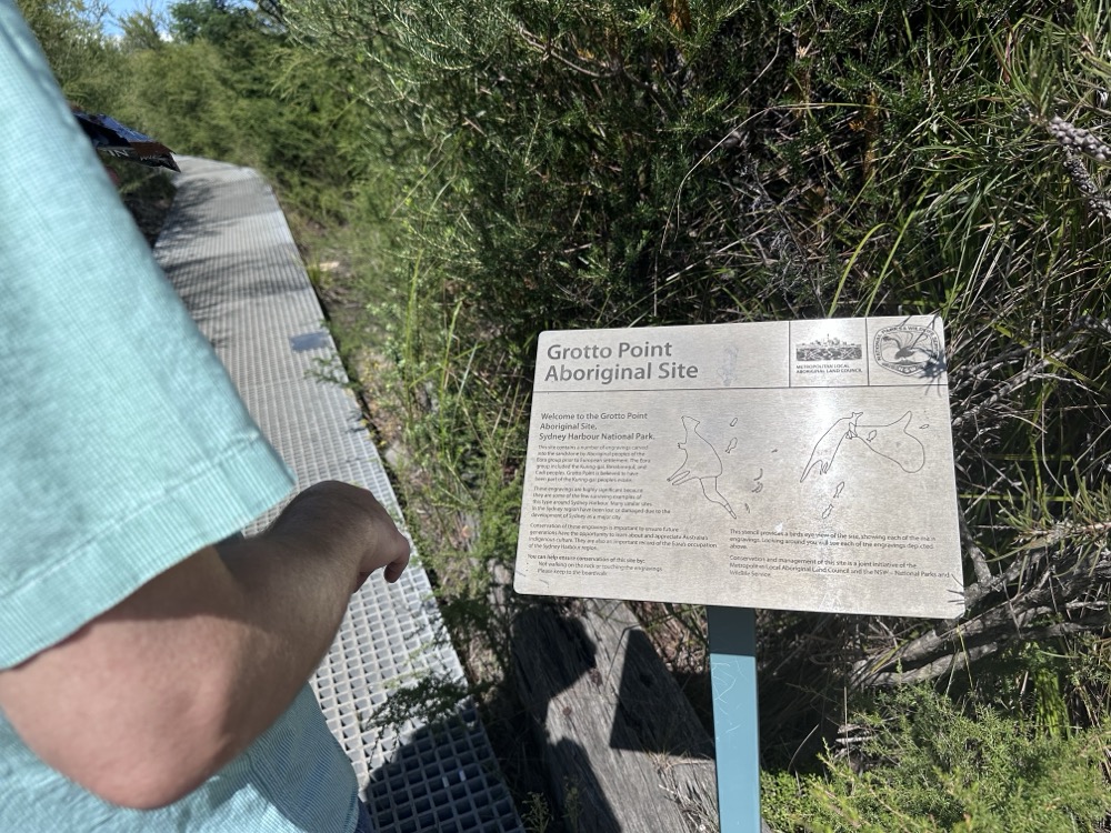
    We continued on. A bit farther along we came across the Grotto Point Aboriginal engraving site and decided to check it out.

    Grotto Point Aboriginal engraving site

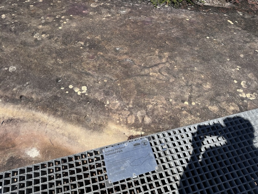
    We followed the walkways around where each of the engravings is signposted. I’ll be honest – most of them were pretty difficult to see, even with the signs. Not sure whether that’s just erosion or whether it was the wrong time of day. This one of a fish was one of the few that I could easily see.

    Engraved fish

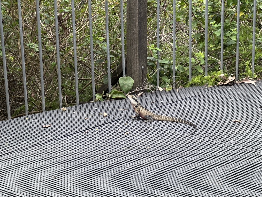
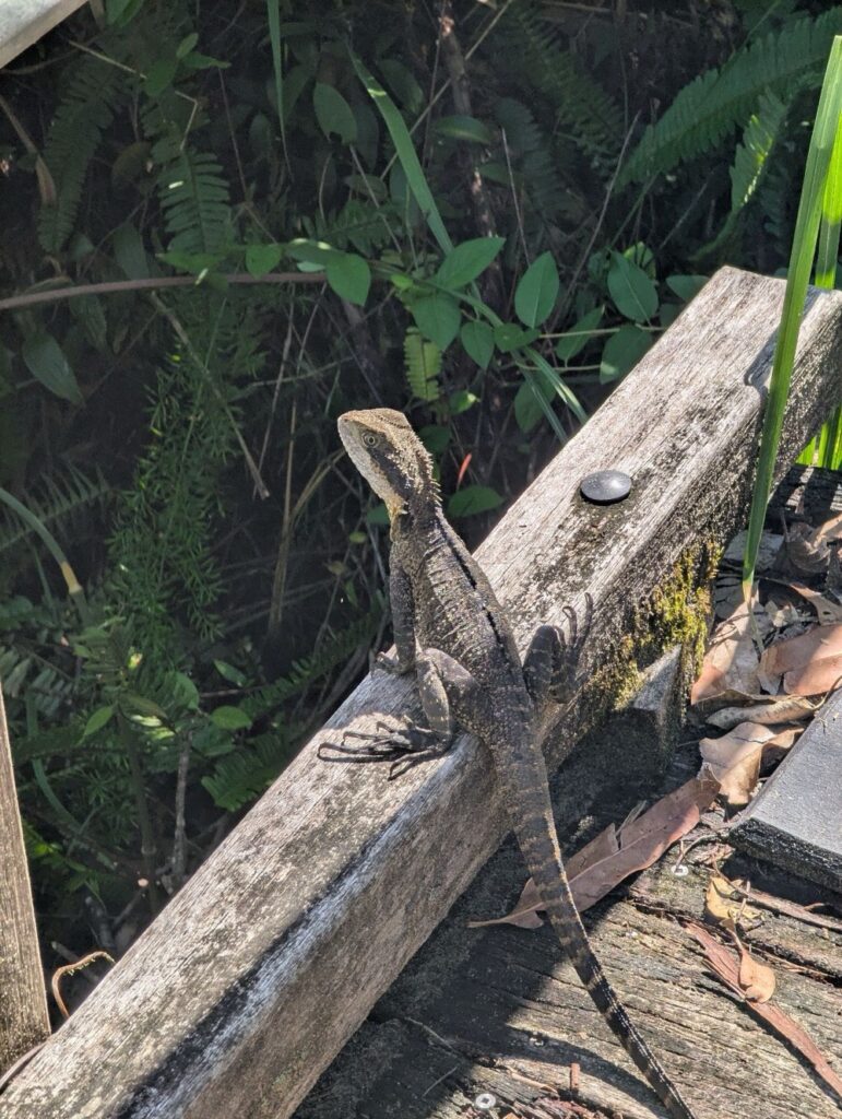
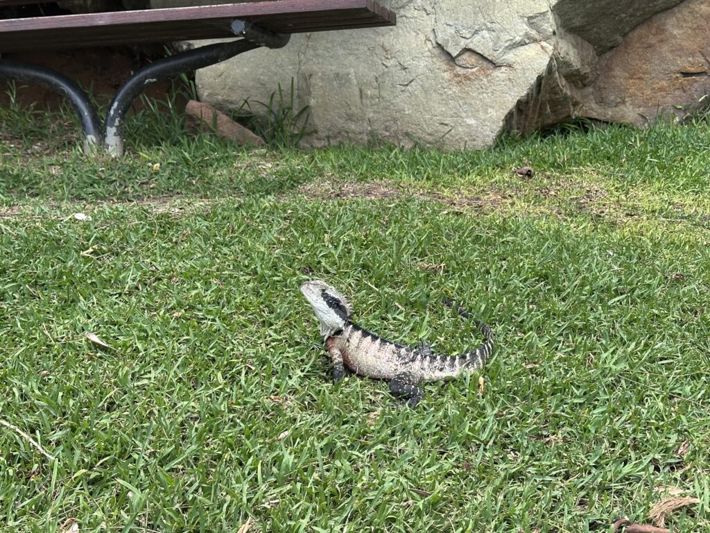
    We were finally past the halfway point of the hike, and the next two kilometers were mostly scrambling down the headland. It was narrow and muddy and wet and treacherous, and we took our time so we didn’t fall. It didn’t help that there were water dragons everywhere, and they kept scurrying in front of me and startling us. This fellow was sunning himself on a little bridge and didn’t even care about us passing.

    Water dragon

    And this is where disaster struck. I was looking down at my feet to make sure I didn’t slip or trip when BAM! I slammed my head into a sawn-off tree branch at the side of the path. I hit it so hard that my sunglasses flew off my face. Thankfully I was wearing a cap, and that kept me from actually splitting my forehead open. It hurt like hell though, and when I lifted my hat so Rodd could check it, we could both feel a large lump starting to swell. We were still quite a ways from the nearest road or shop, and there was nothing really for it other than to keep going. I kept my hat on, figuring that it would act like a bandage and perhaps help to contain the swelling a bit. It took us a good 20-30min to finally get back down to the water’s edge. Here’s Rodd at Grandma’s Beach on the edge of Clontarf Reserve.

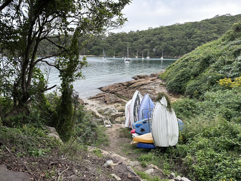
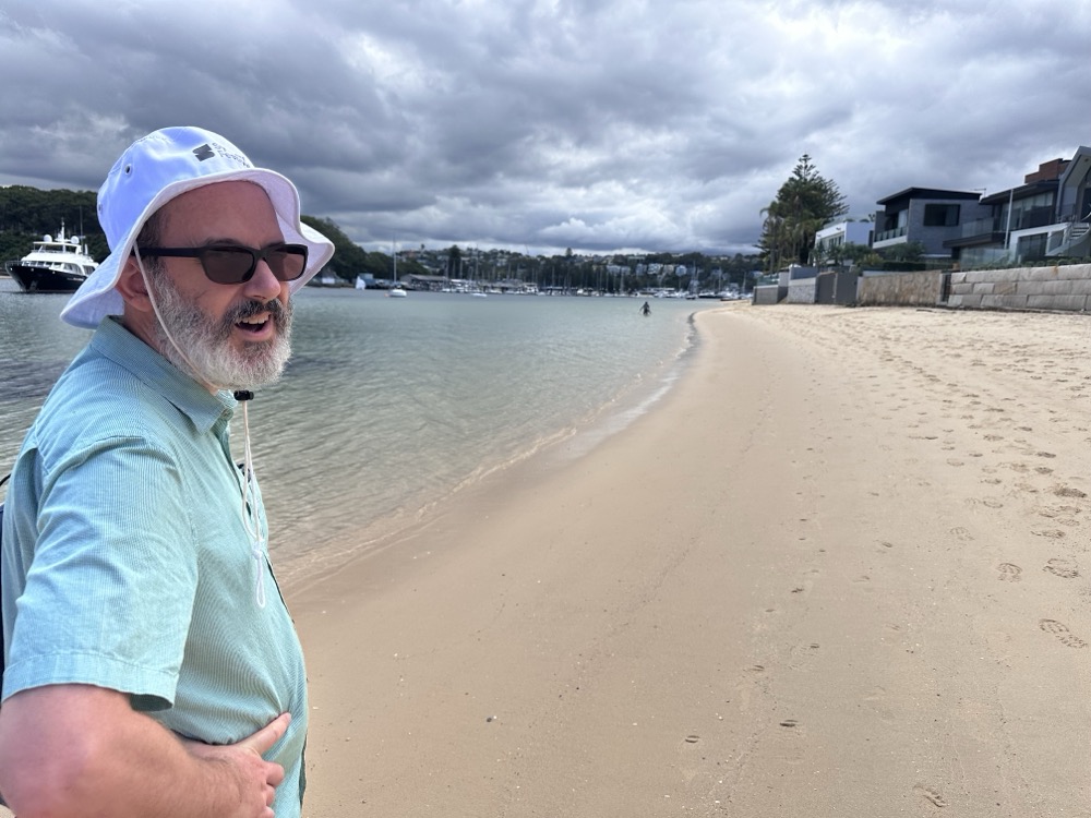
    Grandma's Beach at Clontarf Reserve

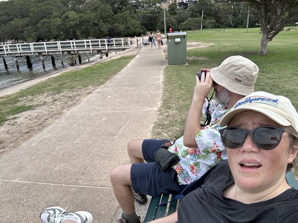
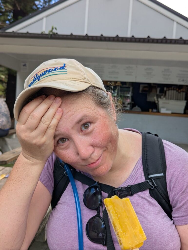
    There we finally found an open kiosk and I was able to get a cup of ice to put on my head. Here I am holding an ice cube to my lump while eating a popsicle and generally being a sad sack. 😂 I also popped a couple paracetamol to help with the pain until I could get home.

    Icing my head

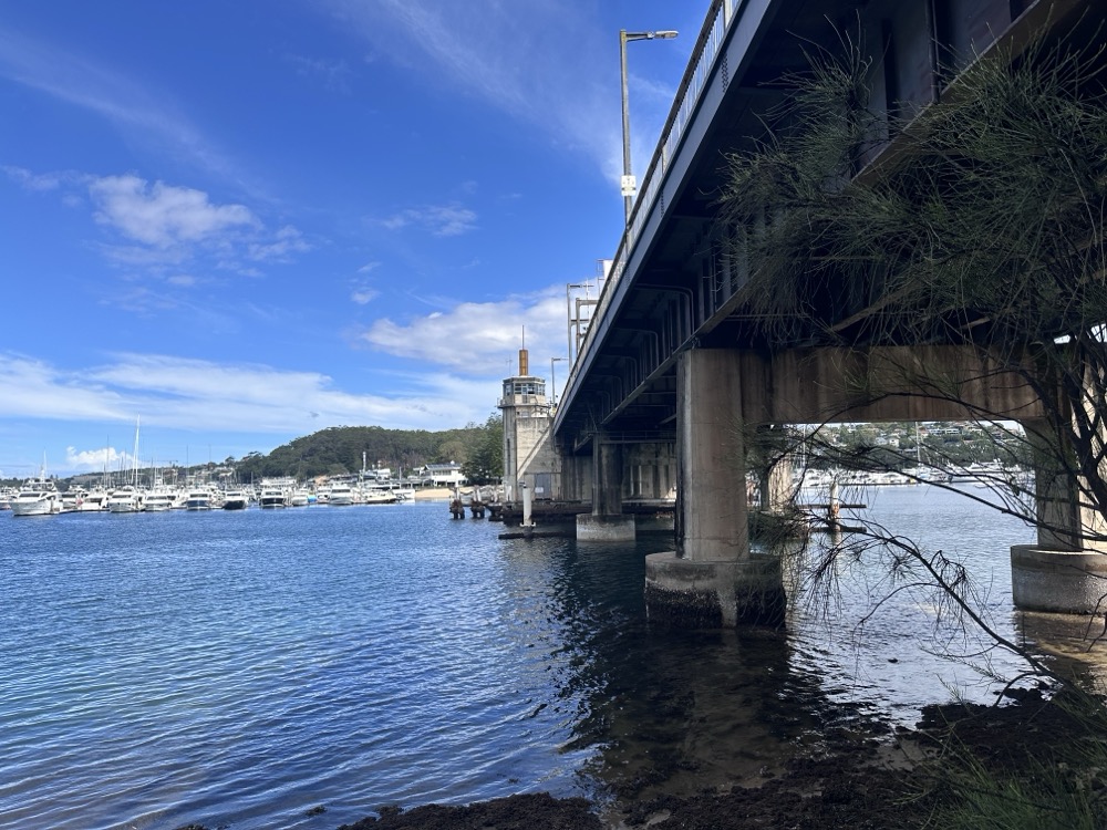
    We soldiered on. We were cramping and tired at this point, but finally the Spit Bridge was in sight! We crossed under it…

    Under the Spit Bridge

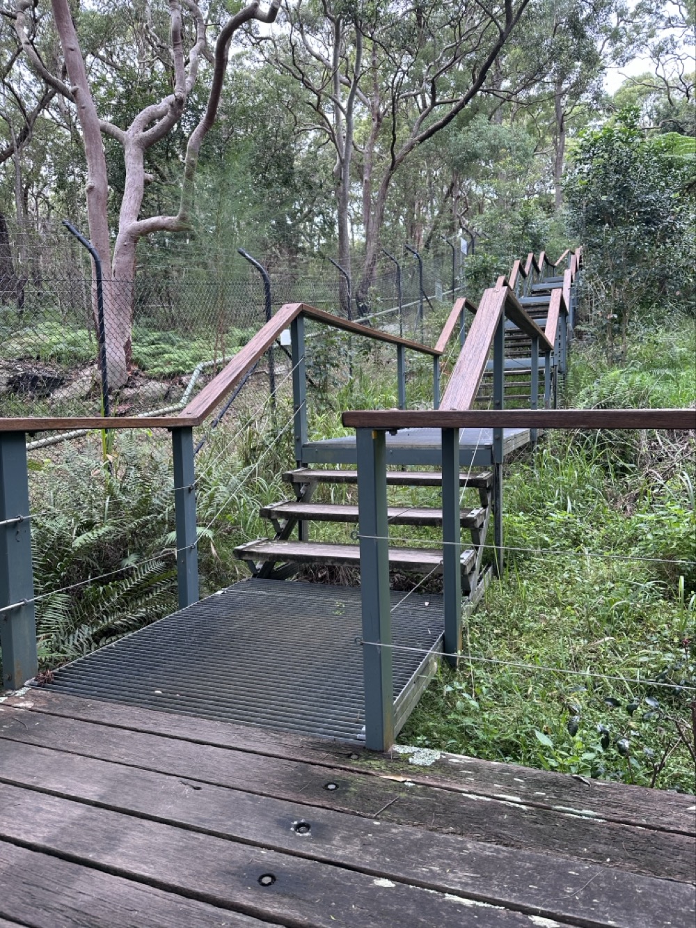
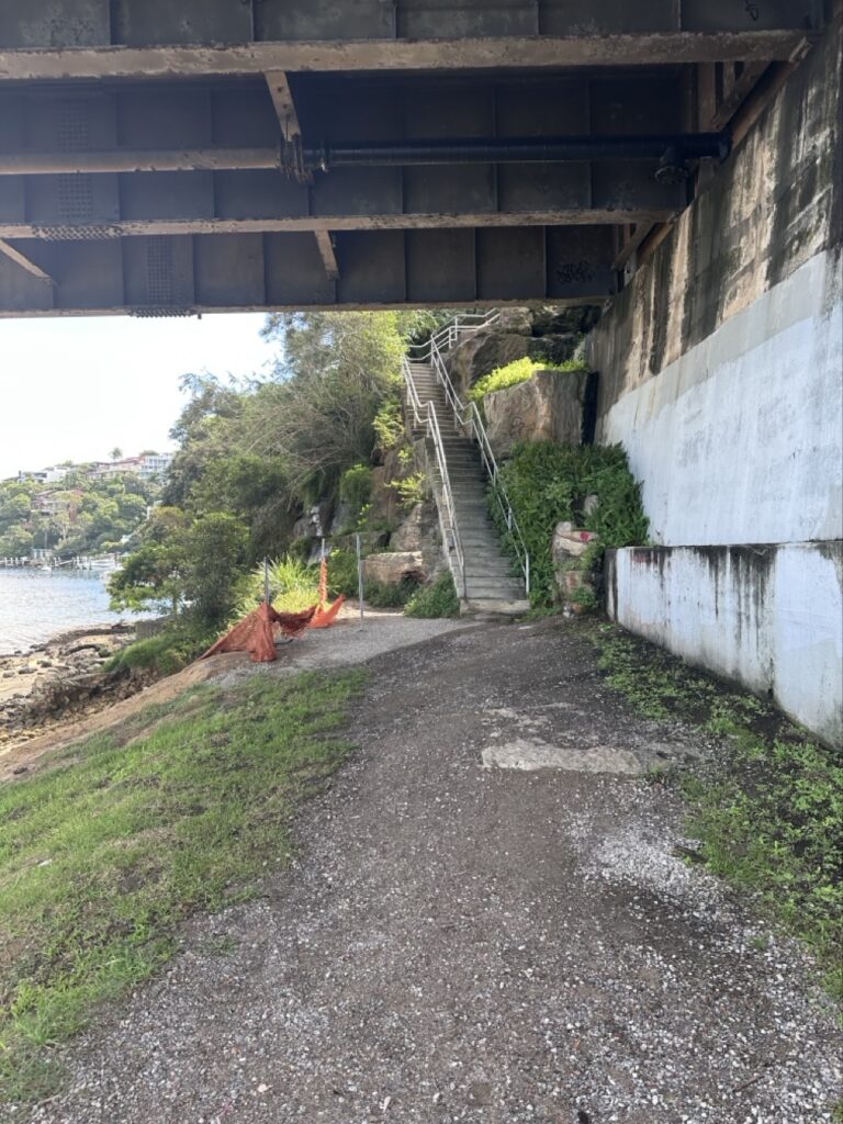
    …and then slowly climbed the stairs up to the top.

    Spit Bridge stairs

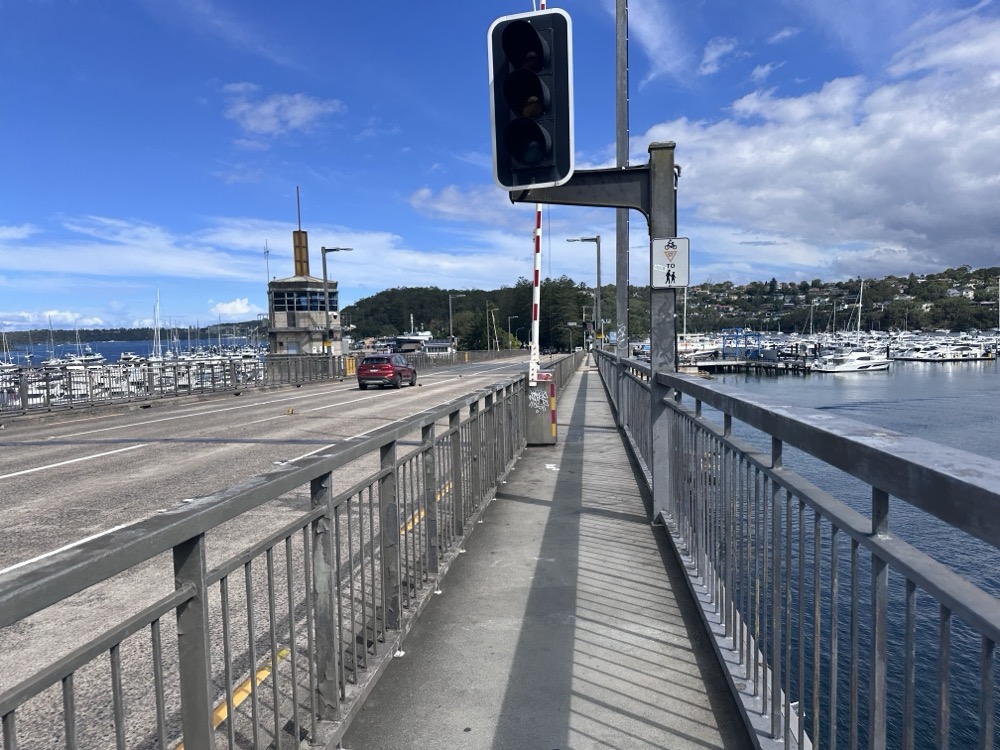
    It’s not the nicest bridge crossing in the world – lots of cars whizzing past – but we were almost at the finish line.

    Crossing the Spit Bridge

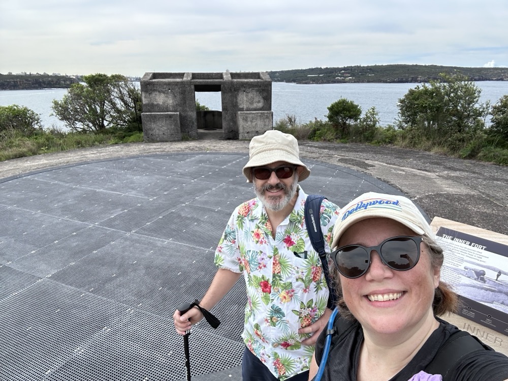
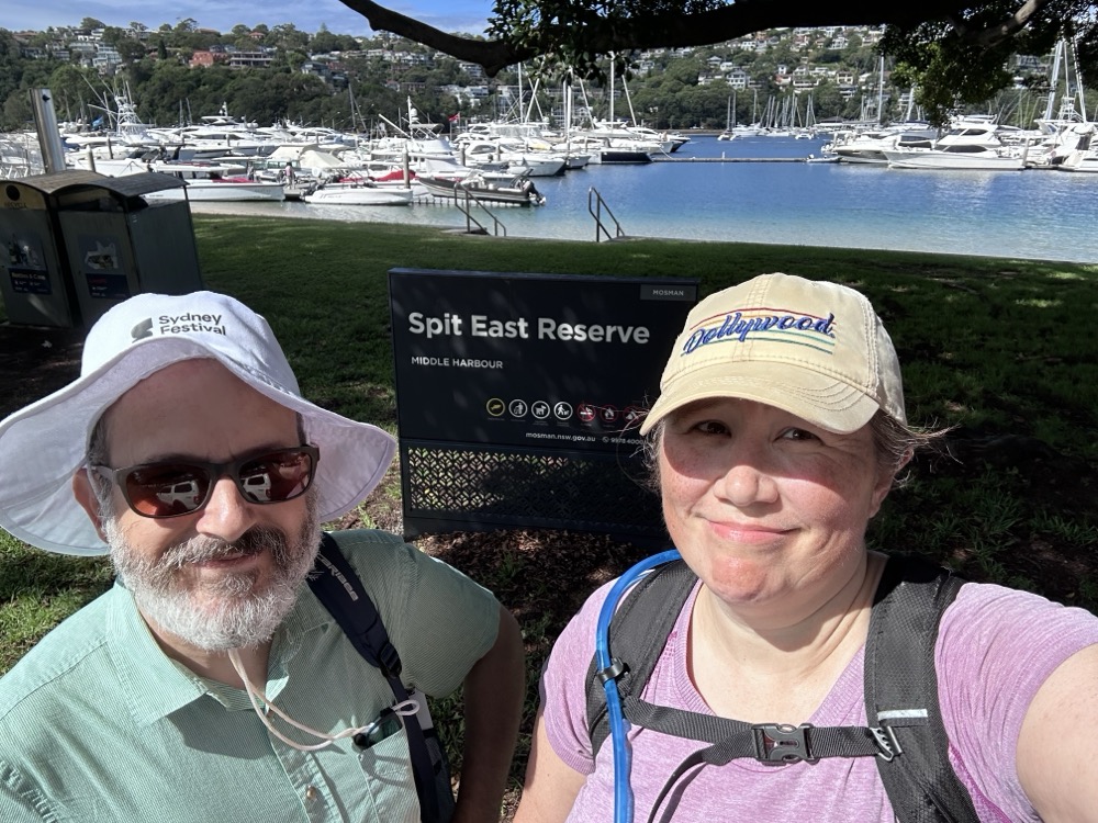
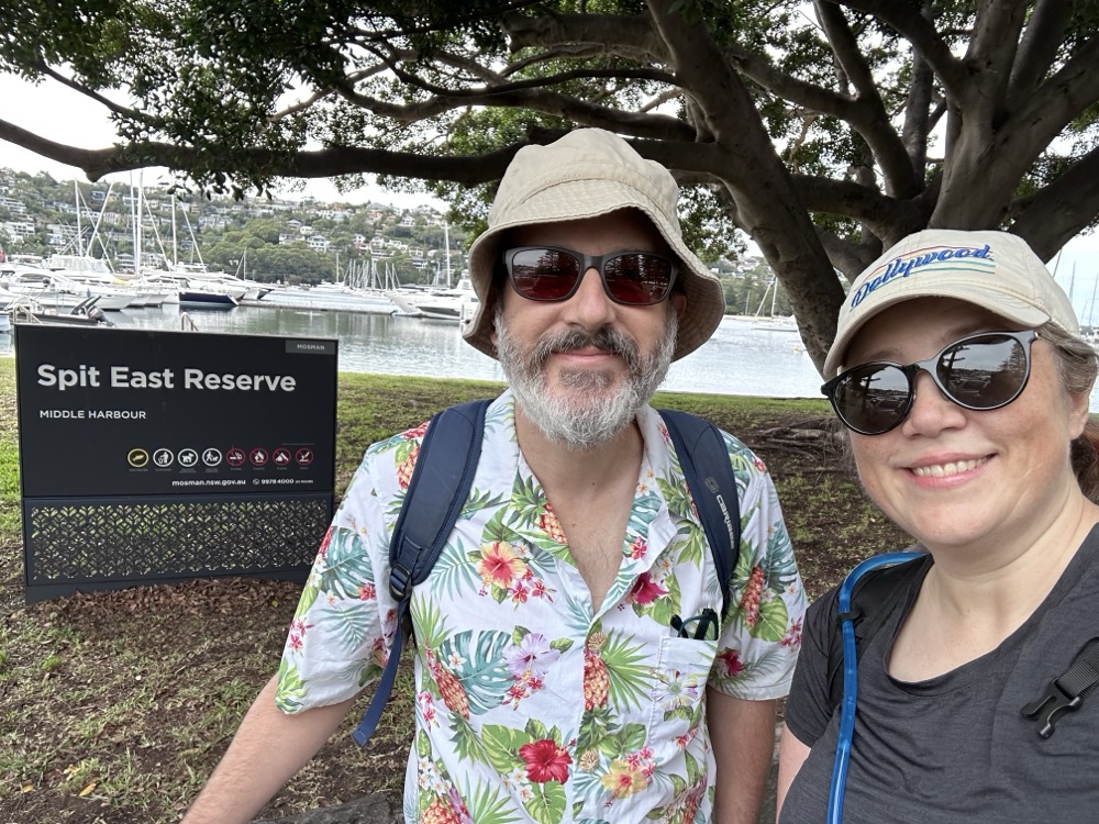
    And finally! This was our designated stopping point for the second leg.

    Spit East Reserve

    Here’s our Strava map for this leg. The really annoying thing was that, until the injury, I had been feeling a lot stronger and healthier than on our previous one! Oh well, lesson learned. Always look up periodically kids! 🩷

  • Goose egg

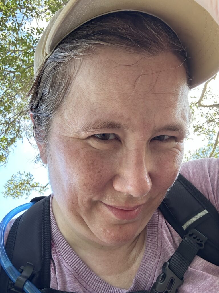
    A very sweaty woman lifting up her cap to show a not-very-visible lump on her head

    7.5km into our 10km hike from Manly to the Spit today, I was looking down at a water dragon and walked headfirst into a sawn-off tree branch. Hard. I saw stars. My cap kept me from serious injury, but within minutes I could feel a lump forming. It took us another 30min to get to a cafe where I could get some ice. It hurts like a bastard but I’m hoping my hat is providing some compression until I can get home. No bruise yet, but that’ll be next. Haven’t done that since I was a kid! 🤕

  • Manly to Bondi Walk – Leg #1

    Manly to Bondi Walk – Leg #1

    One of my focuses for 2025 was on getting healthy. I’ve been slowly recovering from a hip injury last year (when we moved house) that’s kept me from riding my bike, so I was looking for a more gentle athletic endeavour that would get me out of the house. Meanwhile, one of my college besties Eileen has been working on a project to walk across all of Rhode Island, broken up into day hike chunks. That inspired me to suggest to the Snook that we set a goal of completing the Bondi to Manly Walk.

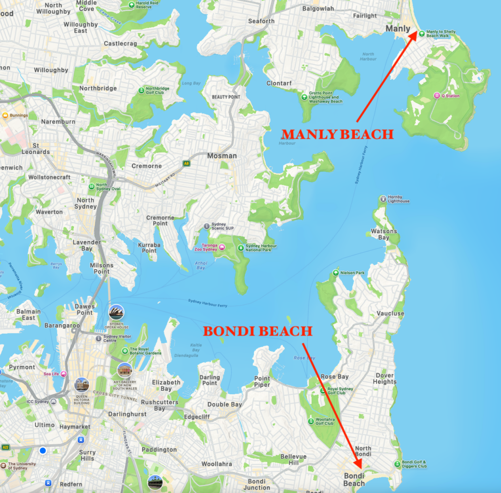
    Map of Bondi and Manly beaches

    If you don’t know our fair city, Manly is an ocean beach on the North Head of Sydney Harbour. Bondi is an ocean beach far south of the South Head of Sydney Harbour. Walking from one to the other means hiking along 80km / 50 miles around lots of little harbour inlets and across the a couple bridges, most notably the Sydney Harbour Bridge. There’s an ultramarathon every year where people run this in one go, but it’s much more common to break it up into chunks. The official website offers several different itineraries, and we’ve opted to go with the 7 day version. And just to be contrary, we decided to start at Manly and end at Bondi.

    So today, we headed to Circular Quay and caught the ferry to Manly to do our first leg of around 10km. From there we walked down the Corso to the beach, stopping at a cafe for some lunch. We were well-prepared with water, sunscreen, bug spray, hats, and even light jackets. At the beach, I hit Start on Strava and we headed off towards the south end of the beach.

    South end of Manly beach

    It was a good day for it – not too hot with a nice breeze, and clouds that occasionally let the sun through. As we neared Shelly Beach, we saw signs about protecting the water dragons, and it didn’t take long to spot a real one!

    Water dragon

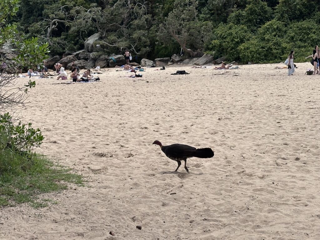
    We were also amused to see brush turkeys right there at the beach. This guy was the first of many that we’d see on North Head.

    Brush turkey

    Above Shelly Beach, we found a nice lookout.

    Shelly Head Lookout

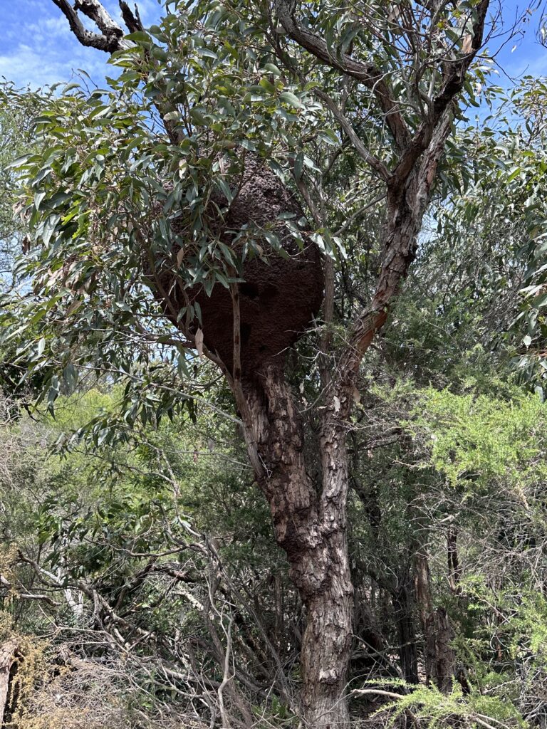
    The Shelly Beach to Barracks Precinct section felt like a proper hike, scrambling up roughhewn rock stairs or walking along dirt trails. We spotted a huge termite nest up in one of the trees!

    Termite nest

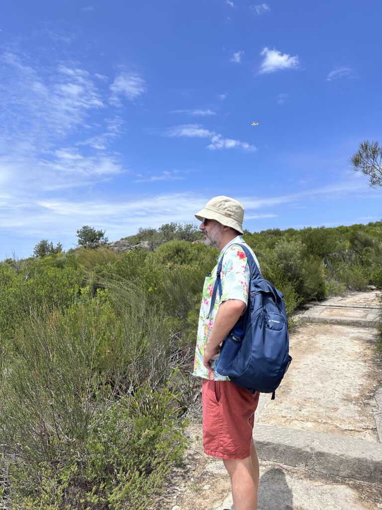
    At one point, we had to go through a gate in a big stone wall, which let us into the National Park. The trails were wider and easier to follow here. There were constantly seaplanes buzzing around overhead, taking tourists on joy flights. (You can see one above Rodd’s head here.)

    Walking in the national park

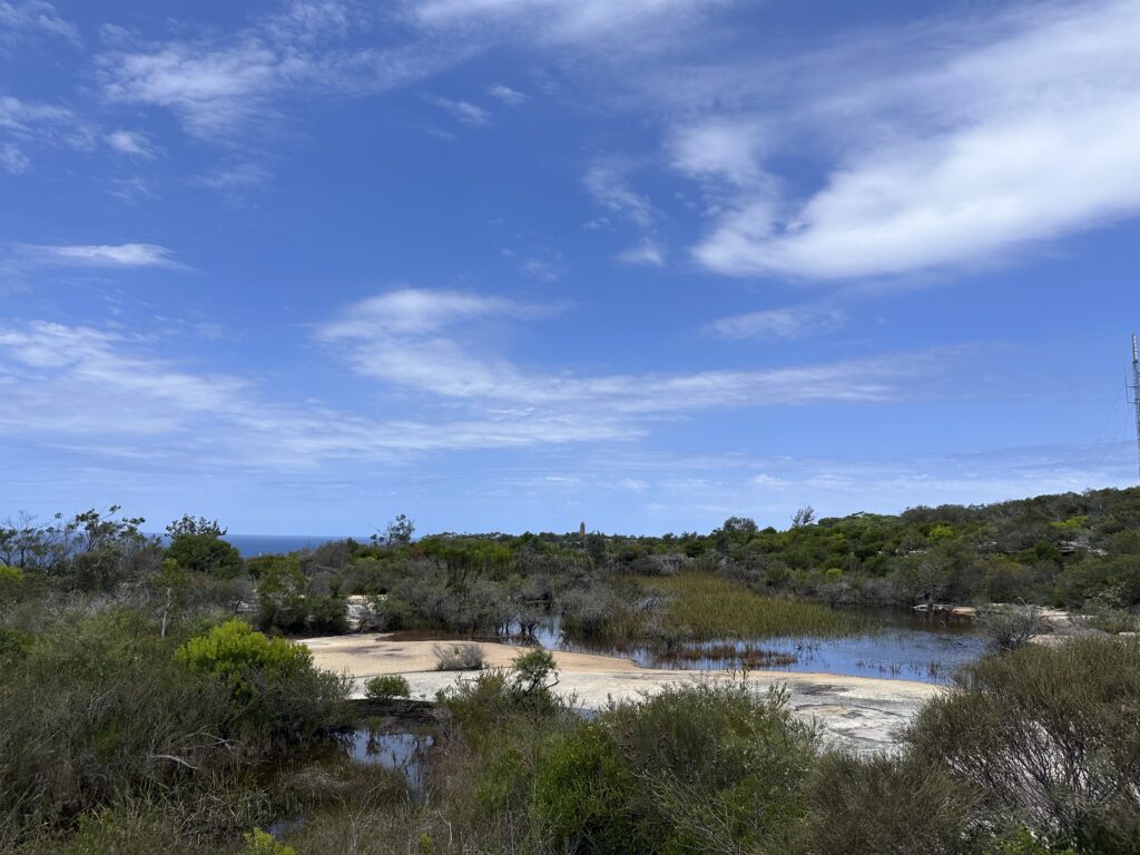
    We were happily surprised to come upon the Old Quarry Swamp, a “hanging swamp” up really high on top of the Headlands.

    Old Quarry Swamp

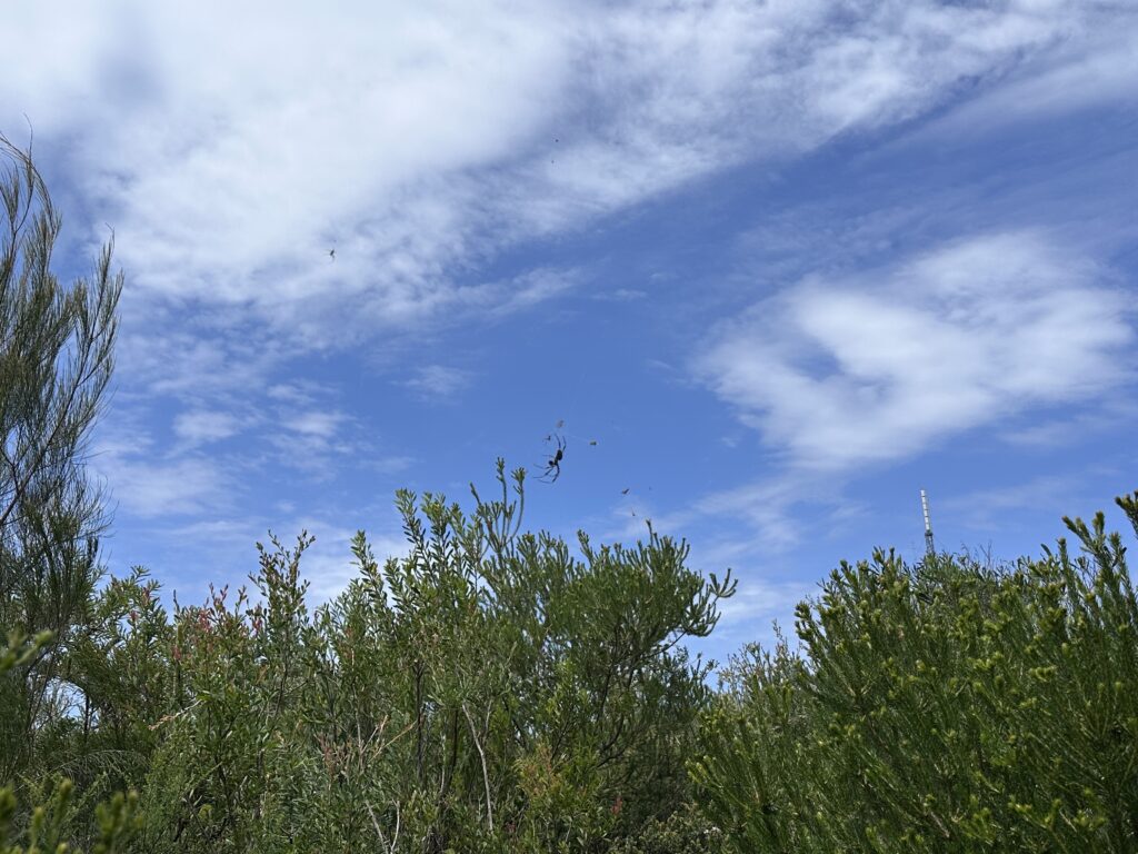
    But OMG – the spiders. We saw so many huge orb spiders making nests in the trees, sometimes right over the trail we were walking on. In many cases the tiny male was there alongside the ginormous female. There’s one visible just in the center of this next photo.

    Spider

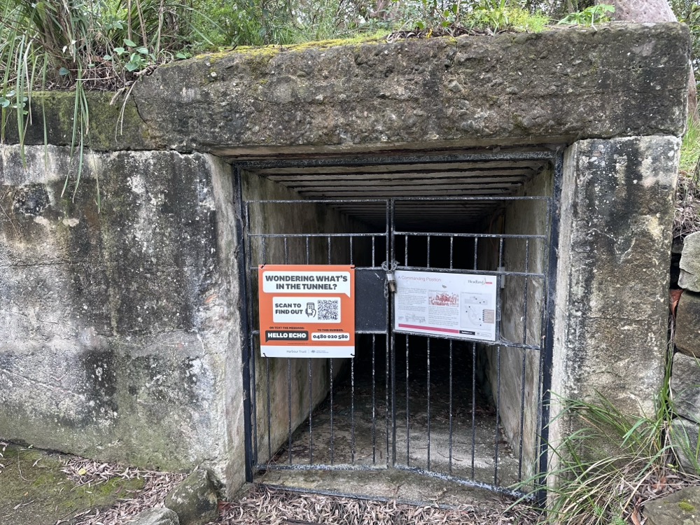
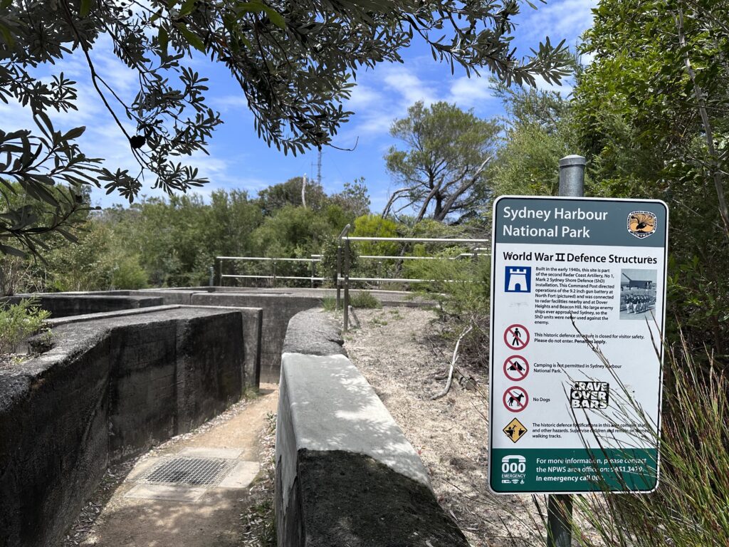
    During WW2, the Aussie military built and manned gun emplacements on North Head in case of Japanese attack. They were actually only ever fired once, and not even at an enemy. You can see the remains of some of the emplacements along the track.

    Gun emplacement

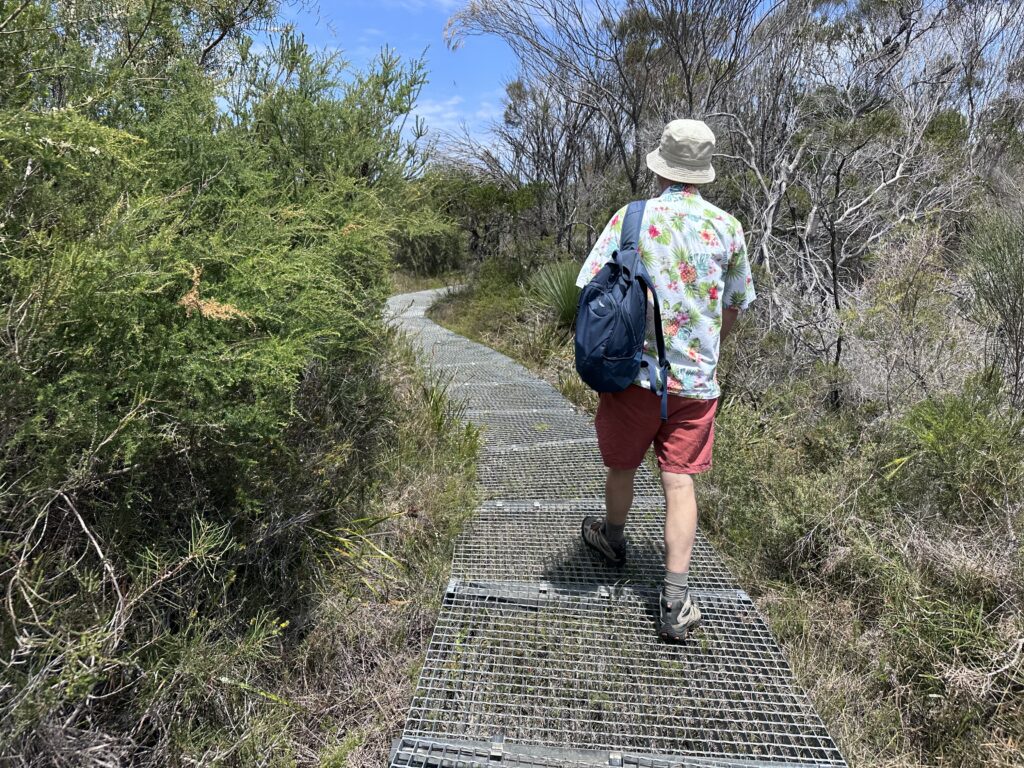
    As we got further south towards the Barracks Precinct, the land got wetter and swampier. The track turned into a well-maintained metal grate.

    Metal grate track

    Finally we made it to the Barracks, the former School of Artillery. As we walked in and across the parade ground, Rodd remarked, “I’m pretty sure this was where one of the Biggest Loser seasons was filmed.” Turns out he was right! (They also host concerts up there.)

    Barracks Precinct

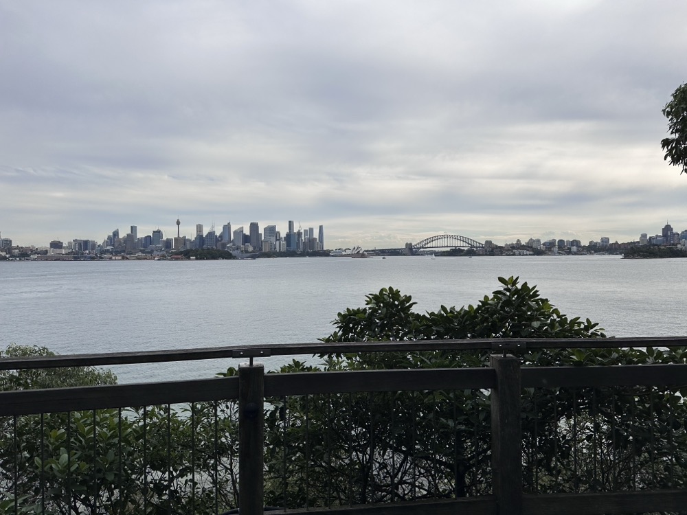
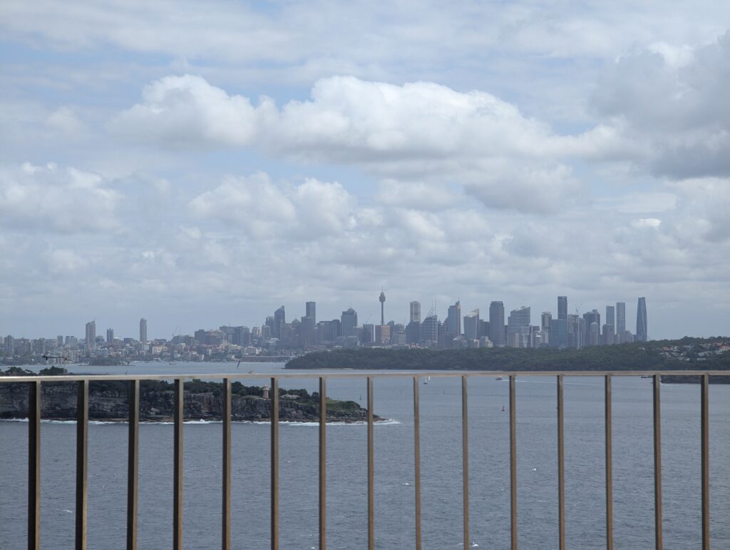
    Once inside, we headed southwest and found a lookout back towards the city. It felt very weird to think we would eventually walk all the way there!

    City lookout

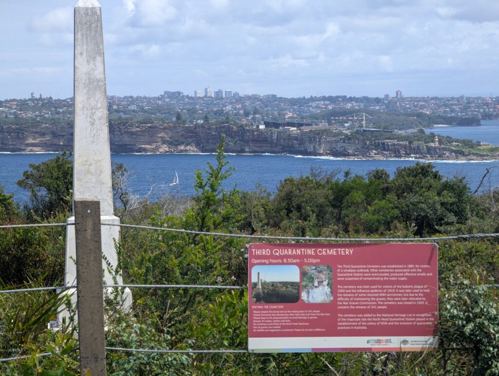
    Another “attraction” up on North Head is the old Quarantine Station. For 150+ years, this station was used to reduce the risk of ship-borne diseases coming into Australia. Nowadays it’s got a ghost tour, a restaurant, and even accommodation. We didn’t go there, but we did stop for a break near this quarantine cemetery we passed along the track.

    Quarantine Station cemetery

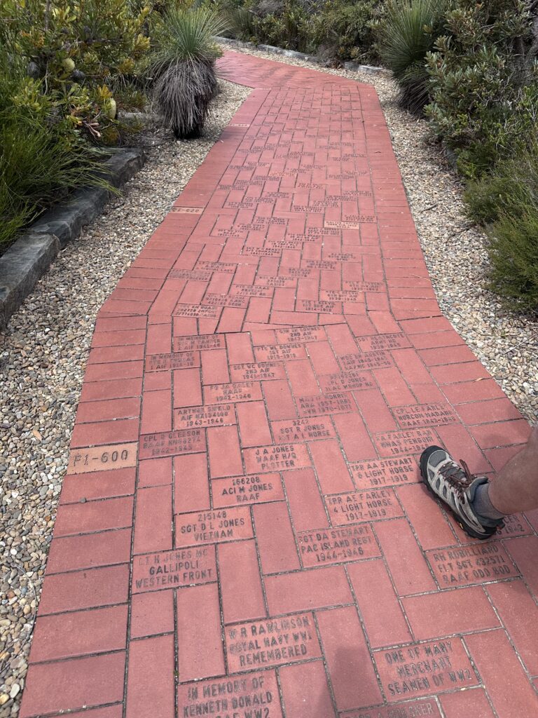
    As you get further south and closer to the end of the headlands, there’s a Memorial Walk that honours those who have served and supported the defence of Australia in peace or in war. You can nominate a family member who served and pay to have a brick dedicated to them.

    Memorial Walk

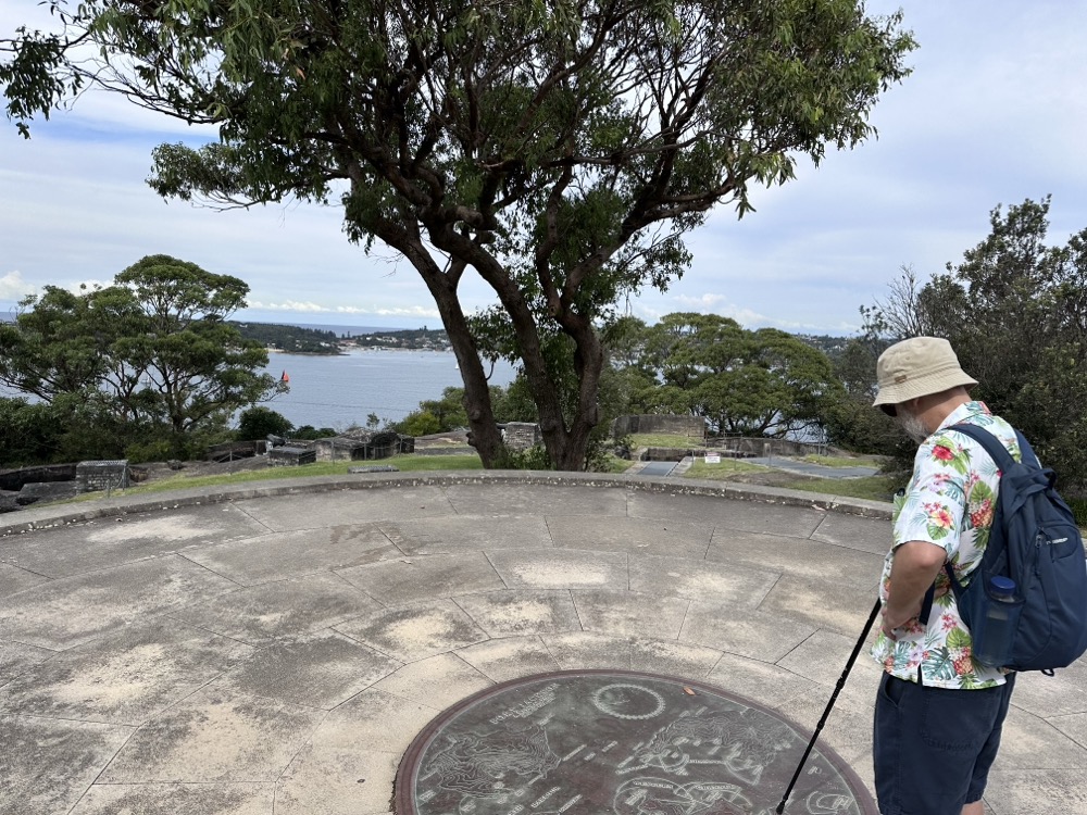
    The Fairfax Walk is a small loop right at the top of the Headlands with spectacular views. Apparently sometimes you can even see whales? This was the view from Yiningma Lookout, looking north.

    Yiningma Lookout

    And here’s the view from Burragula Lookout, looking back towards the city.

    View from Burragula Lookout

    From there we completed the loop back to the Barracks, passing through another hanging swamp. Rodd was trying to spot a frog he could hear croaking when I spotted something slithering next to the metal grate path. “SNAKE!” I said, jumping backwards. We both recoiled at the sight of a long, slender green snake disappearing into the grass. Rodd’s pretty sure it was a tree snake (not venomous, thankfully!), also looking for the frog. It certainly got the heart rate up! 🐍

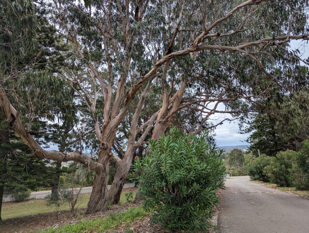
    Once we passed back through the Barracks, we started heading downhill along a winding road towards Collins Beach. It was lined with some very beautiful Sydney red gum trees as well as many other eucalypts.

    Sydney eucalypts

    We emerged from the trees at Collins Beach, a sheltered little harbour beach. I couldn’t believe we made it all the way down to sea level again.

    Collins Beach

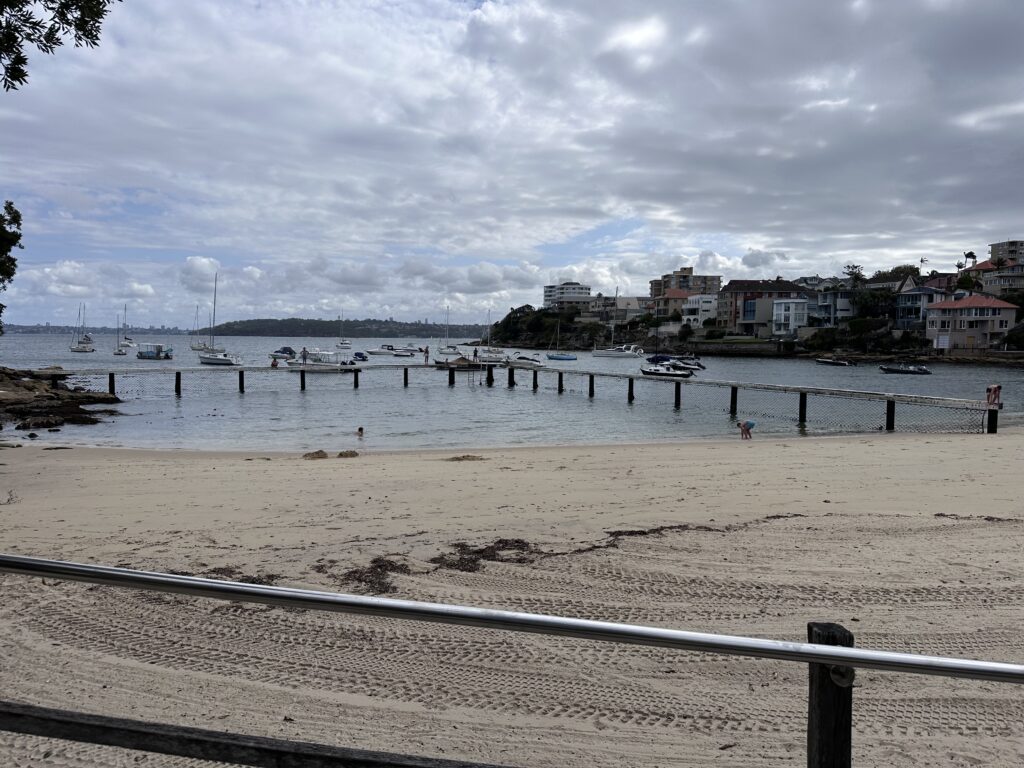
    From there we were in much more residential territory. We walked down to the Little Manly Point Park and then around to Little Manly Beach. It has a nice enclosed baths area, and there were some families taking advantage of it.

    Little Manly Beach

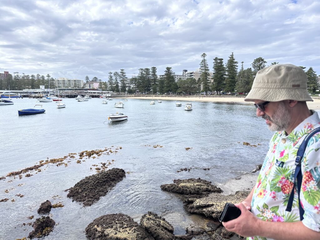
    From there we headed north to Manly Cove. Finally the end was in sight!

    Manly Cove

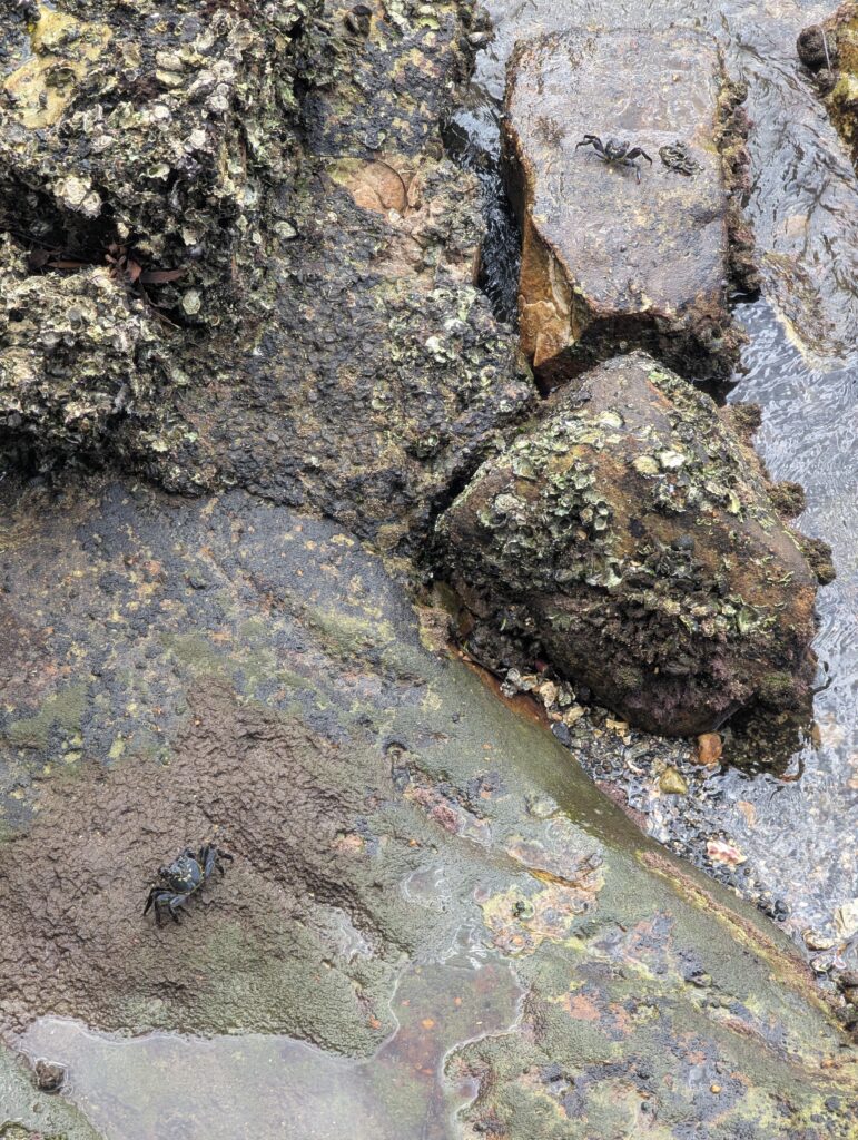
    Rodd was entranced by some little crabs chilling on the rocks below.

    Crabs

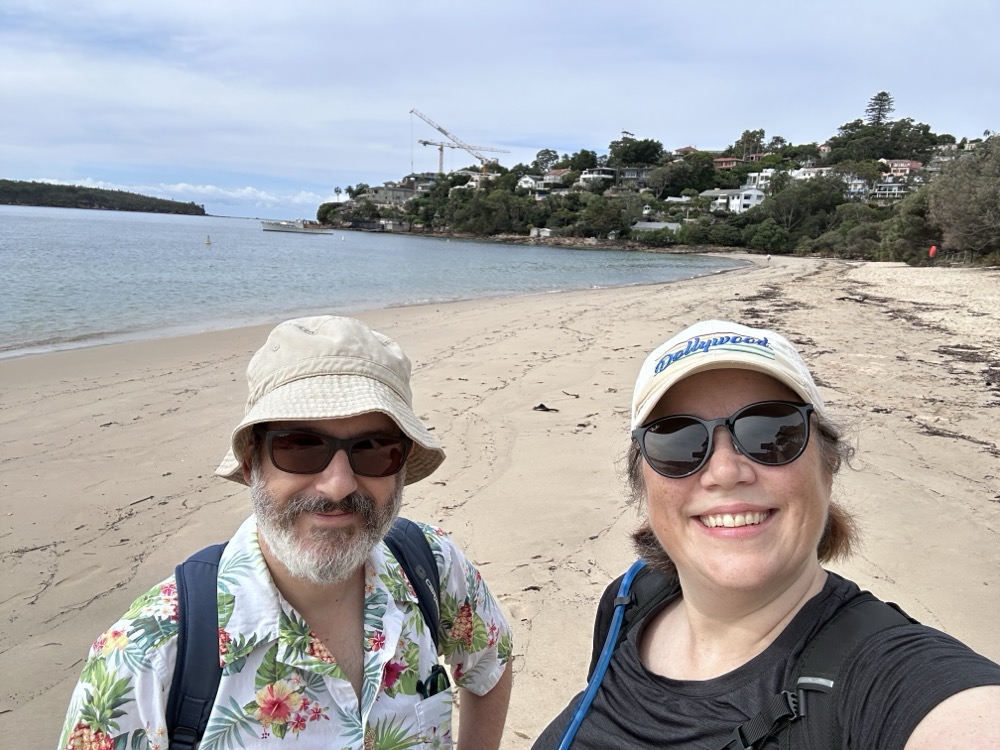
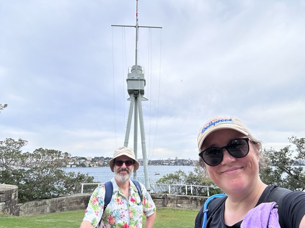
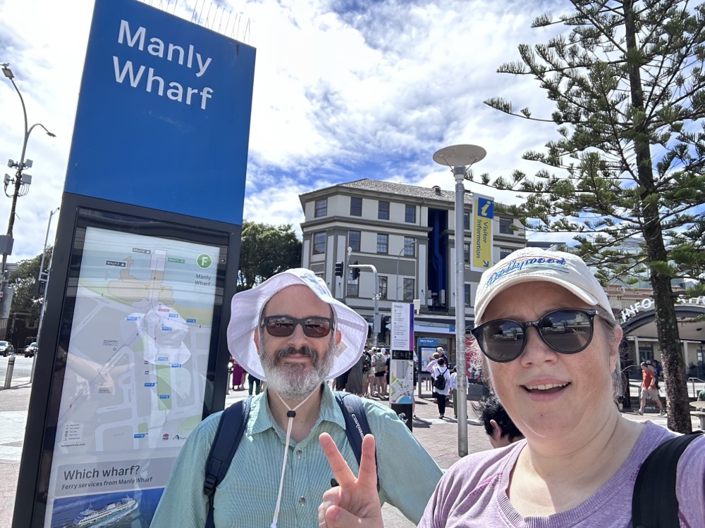
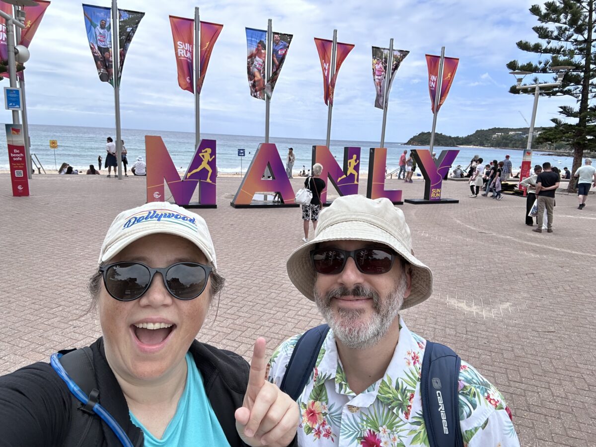
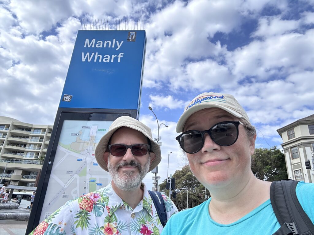
    Tired, sore, and sweaty, we finally made it back to the Manly Ferry Wharf, our designated stopping point for the day. I took a photo to commemorate the milestone and hit Stop on Strava. Then we caught a ferry and began the journey home.

    Manly Wharf selfie

    Here’s our Strava map for the day. We recorded a slightly higher distance than the official 10km for that leg, which is probably due to GPS weirdness and with us wandering and backtracking a bit. I’m not sure when we’ll get to Leg 2 – I’m going to need a bit of time to recover! 🙂