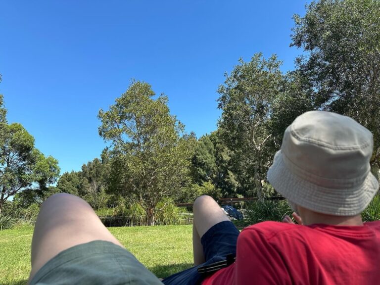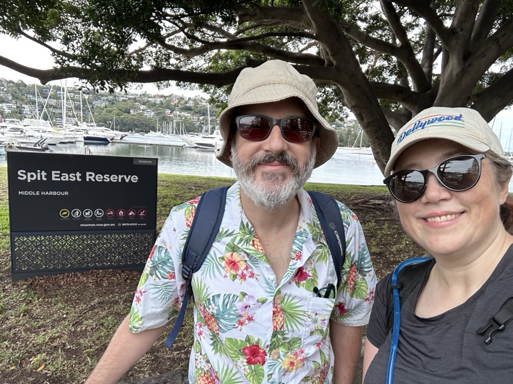
This month we continued our epic 80km+ walk around Sydney Harbour from Manly to Bondi on a lovely cloudy-but-warm autumn day. We started where we ended last time, at the Spit East Reserve just on the south side of the Spit Bridge in Mosman. Note that once again Rodd is dressed as a retiree out for a pleasurable walk, and I am tactically outfitted like I’m doing an ultramarathon in the Atacama Desert. In addition to my hydration backpack, I also picked up a bottle of Gatorade to see if it helped with the cramping I had last time. My main goal was to complete the walk without braining myself on a tree this time.
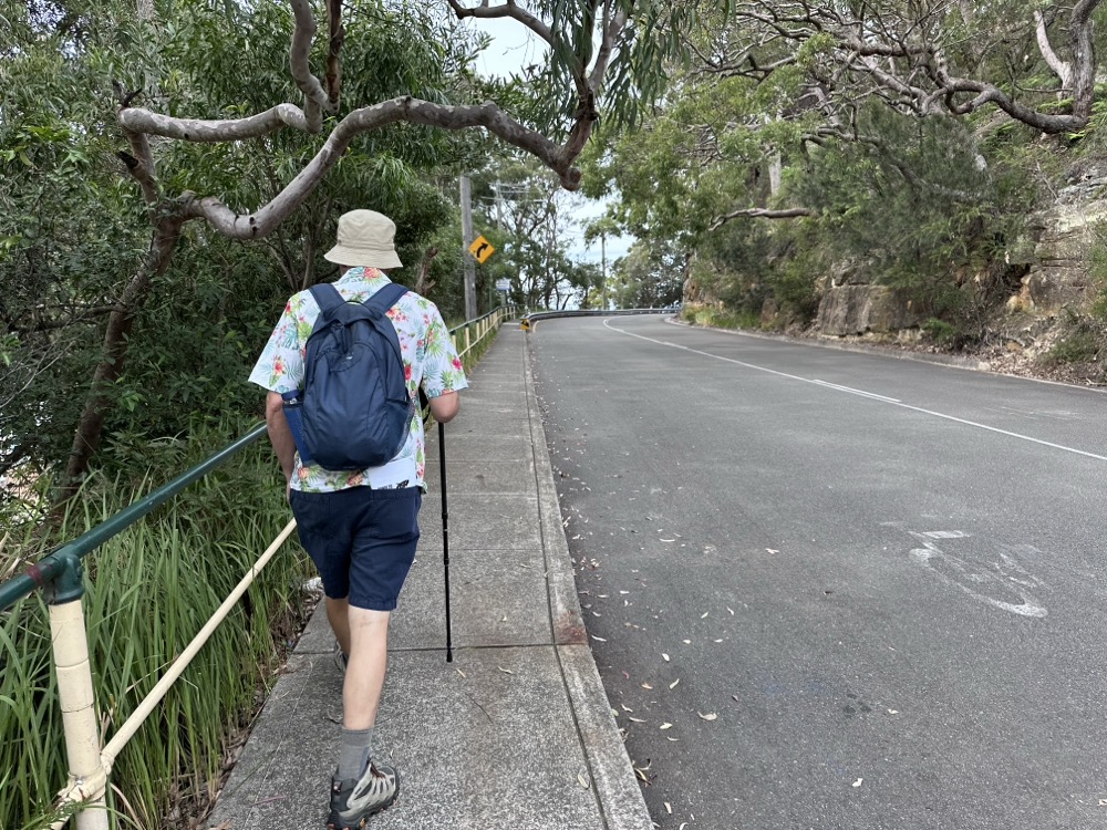
We started with a climb up into Parriwi Park. Note that this time I remembered to bring the trekking poles, so we each had one.
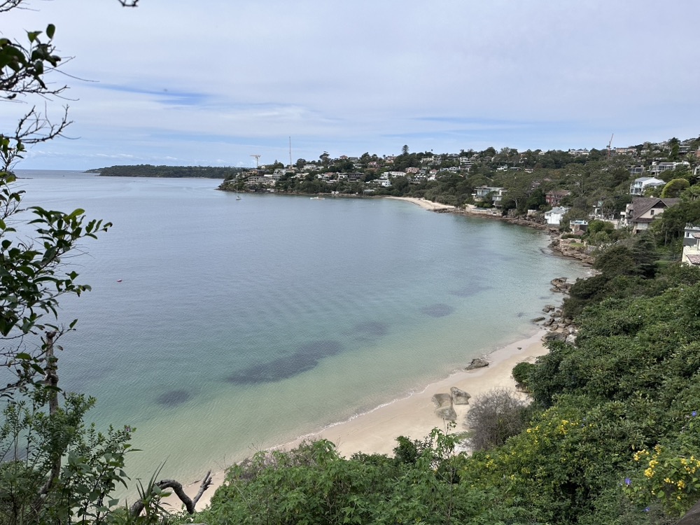
We were rewarded with stunning views across Cobblers Bay.
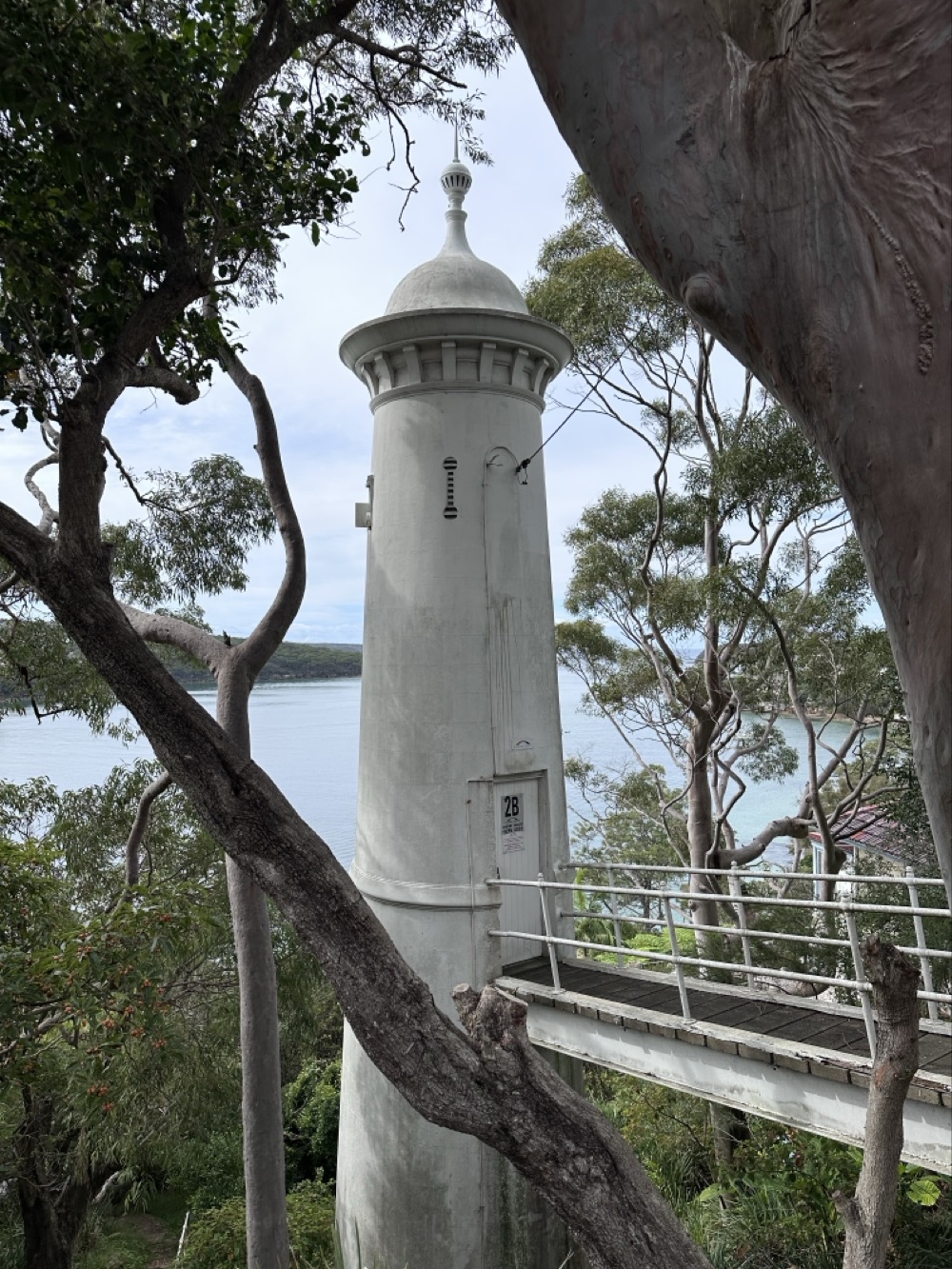
“Is that… a lighthouse?!” We discovered the Parriwi Head Light, a working lighthouse that helps guide ships into Port Jackson.
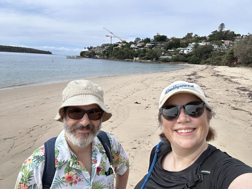
Eventually we made our way back down to the water, and here we are crossing the unfortunately named Chinamans Beach. Very sheltered and surrounded by mansions, with barely another person to be seen.
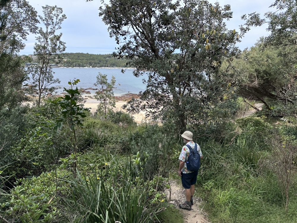
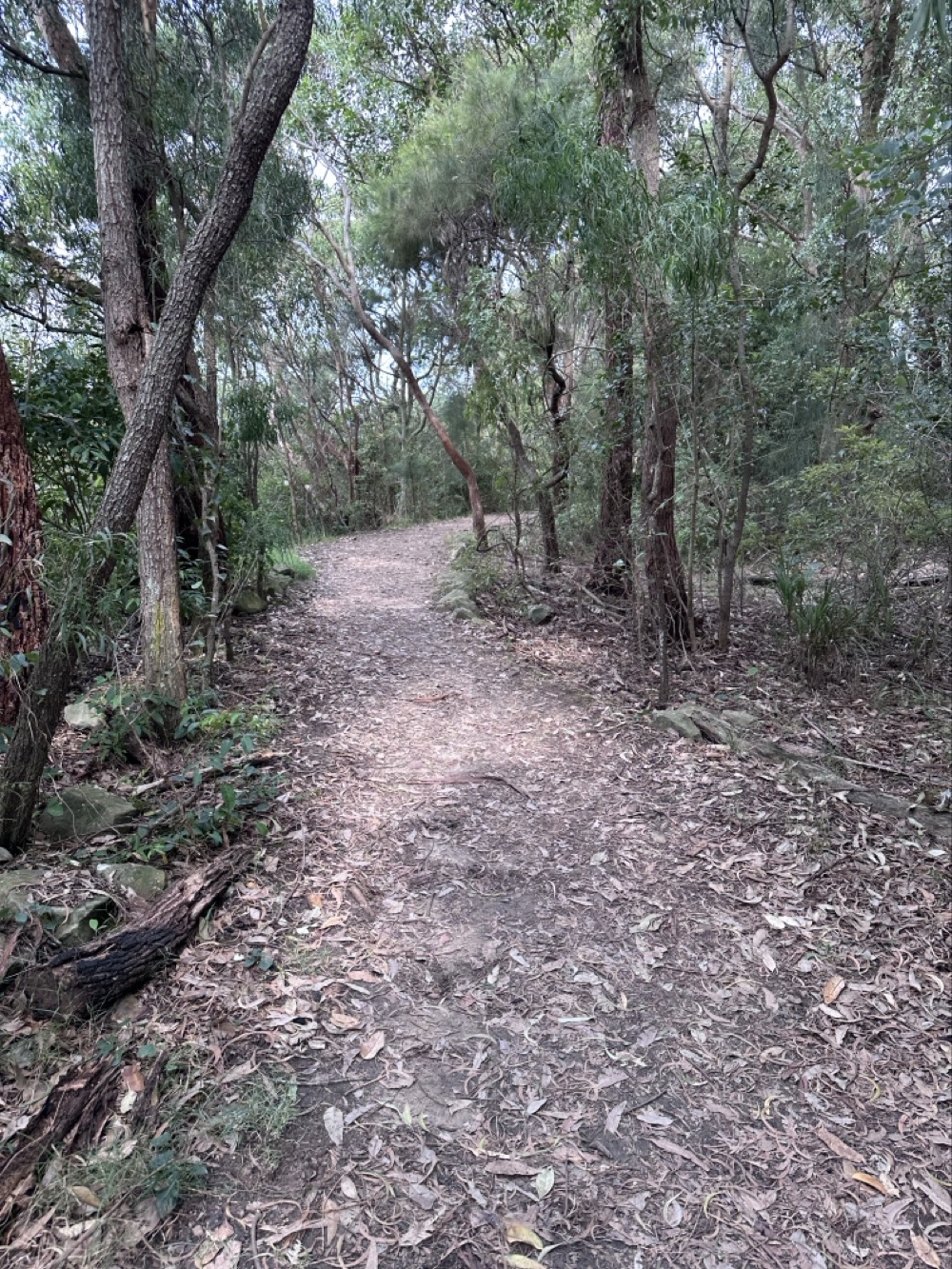
After strolling past million dollar homes in Mosman, we followed a path through the Wyargine Reserve. It seems locals have fought a lot of legal battles to protect this bit of bush.
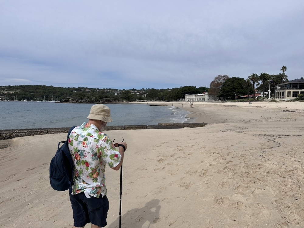
We were now heading towards the Balmoral Beach Club, crossing Edwards Beach on the way. We stopped off at the Club to use the bathroom, and we debated grabbing a sandwich at one of the cafes before deciding to push on to Middle Head.
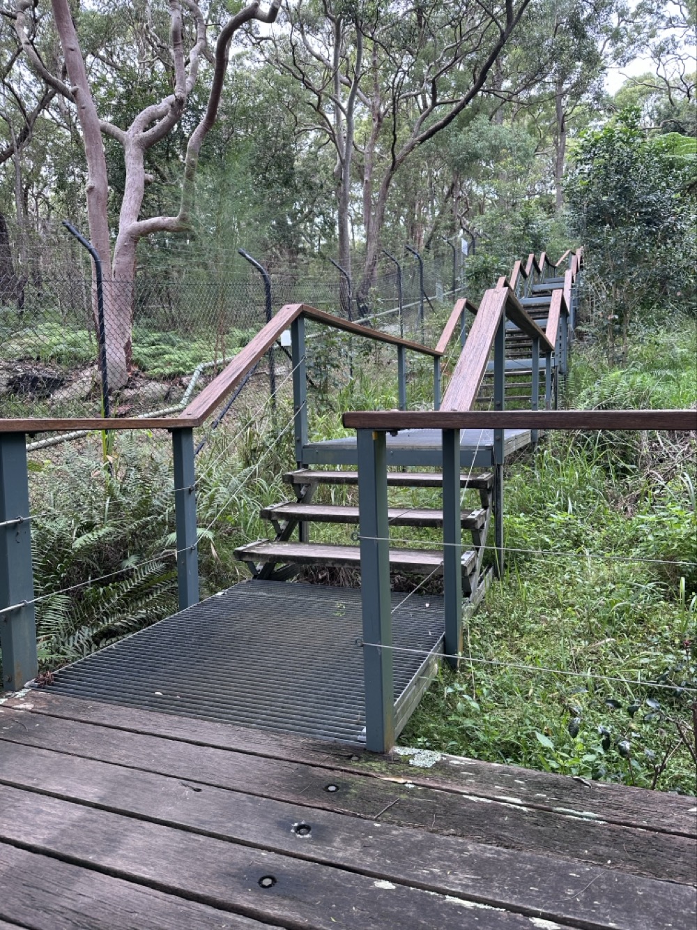
To get to Middle Head, we had to climb up a lot of stairs. See that serious fencing on the one side? It’s because the HMAS Penguin Naval Base is over there, and they’re also doing bush regeneration as well.
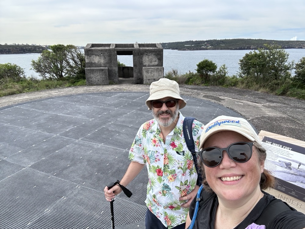
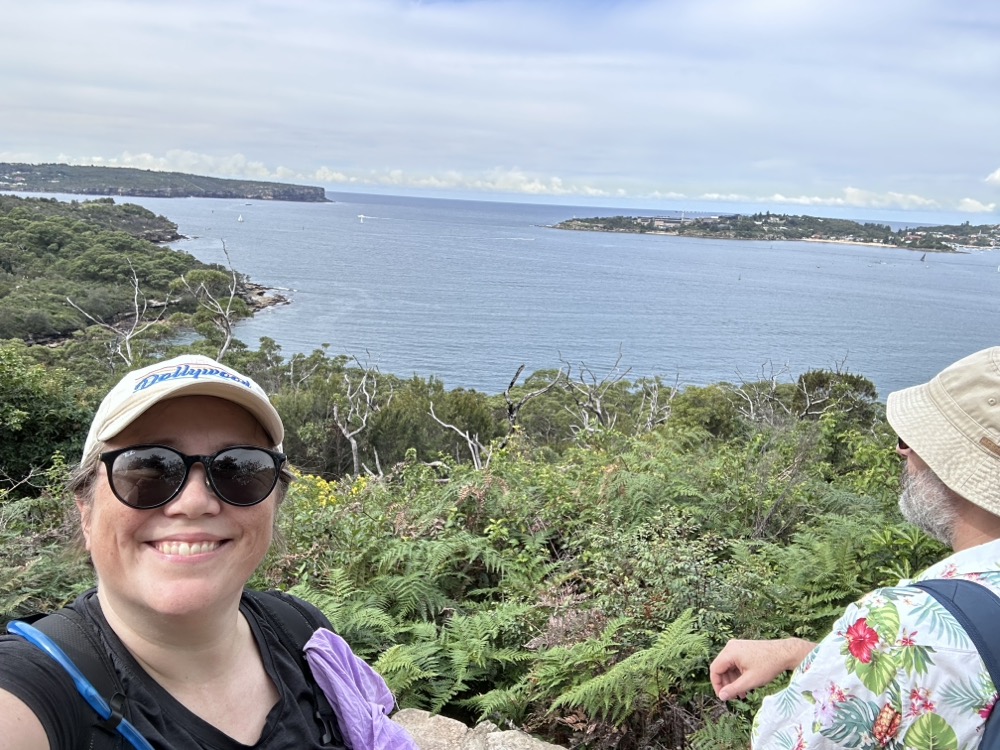
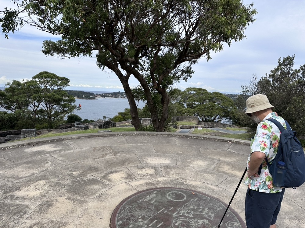
Eventually we came to Middle Head, also known as Gubbah Gubbah. The headland was the site of an important military fort, and there are tunnels and old gun placements all over the place. The idea was that if anybody sailed into Sydney Harbour, this was the ideal place to shoot at them.
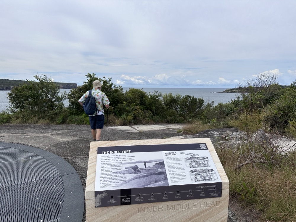
There were lots of informative signs explaining the various stages of the Sydney Harbour defences, and what sort of technology was employed. Beyond that, it’s just a beautiful lookout.
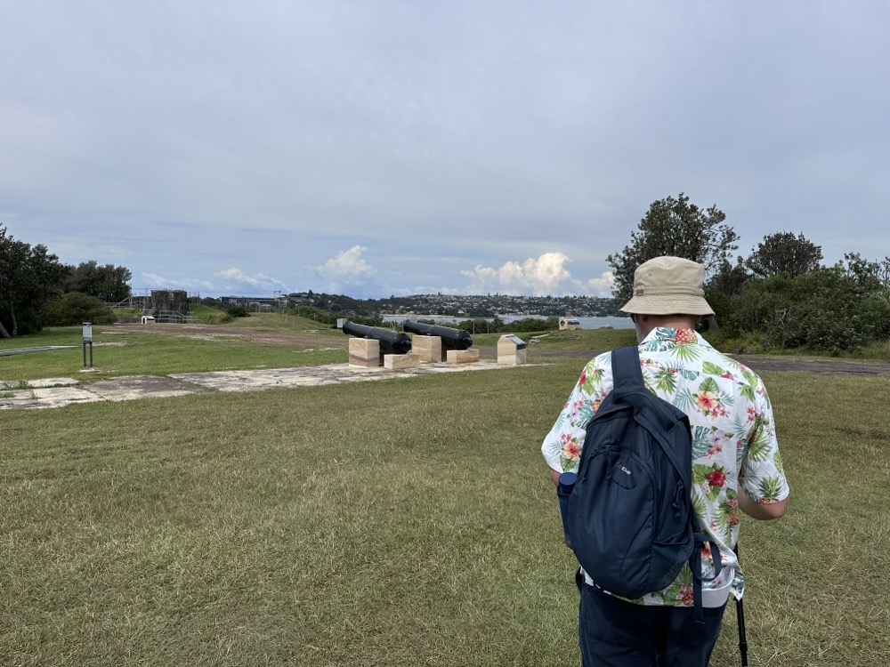
Some of the old cannons, mounted as a memorial of sorts.
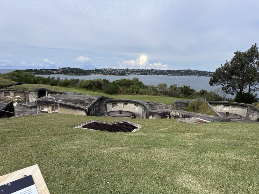
This gun placement was looking across towards Watsons Bay. Each of the round tracks was where a gun was mounted that could be swivelled around to aim at enemy ships. Thankfully, there was only ever one attack on Sydney Harbour where they were needed.
Unbeknownst to me, somewhere down below us at the edge of Obelisk Bay is the famous Obelisk Beach, one of only a few in Sydney where nudity is permitted.
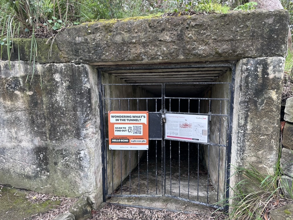
Why yes, I am wondering what’s in the tunnel! Happily, they give tours.
After a refreshing lunch at Frenchy’s Cafe, we continued our hike towards Georges Head.
This area was quite important to the local Aboriginal people, and now they are places of reflection and relaxation.
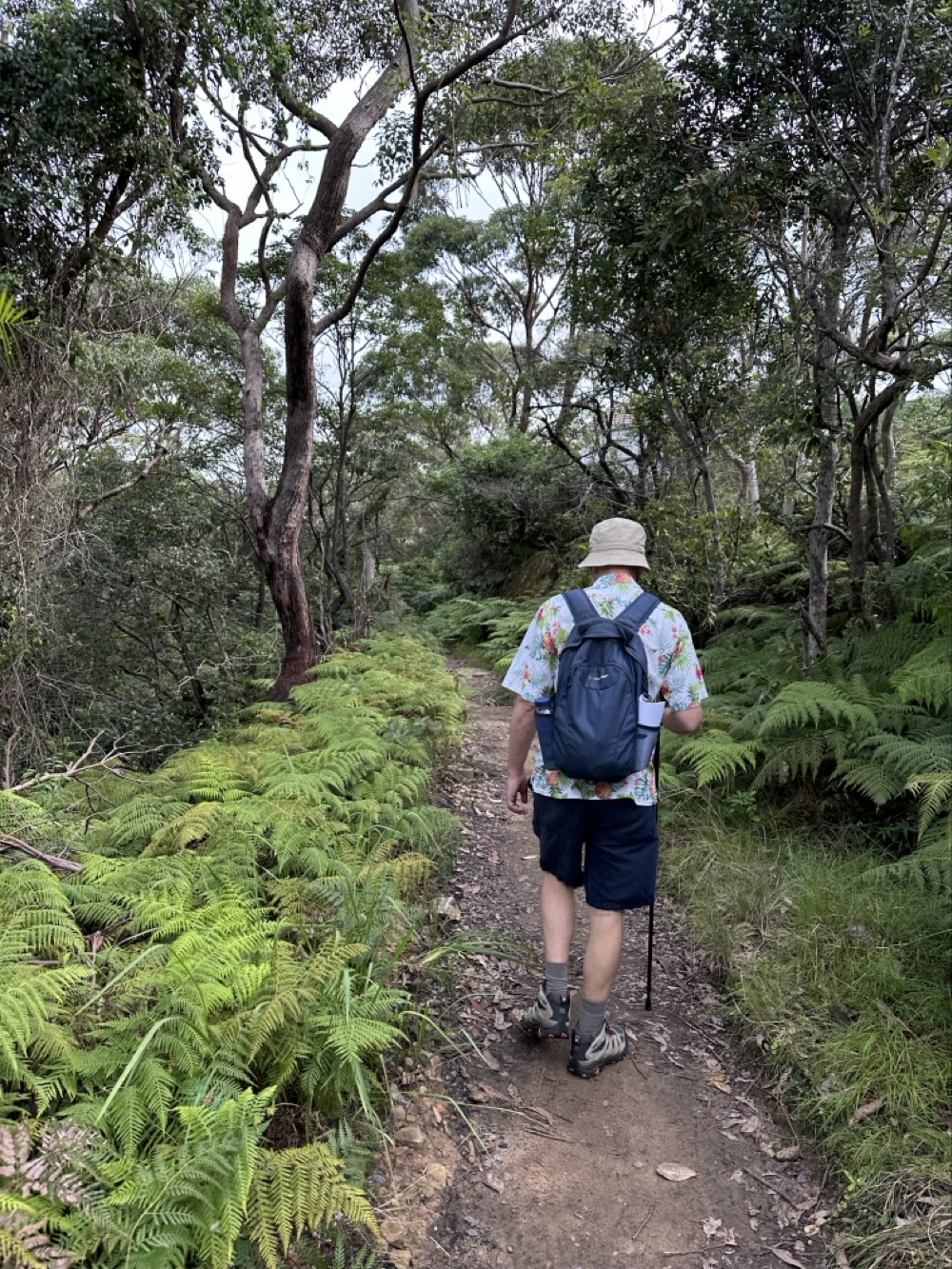
How are we still in Mosman? It’s huge. Here we’re tramping through the bush towards Clifton Gardens and Chowder Bay.
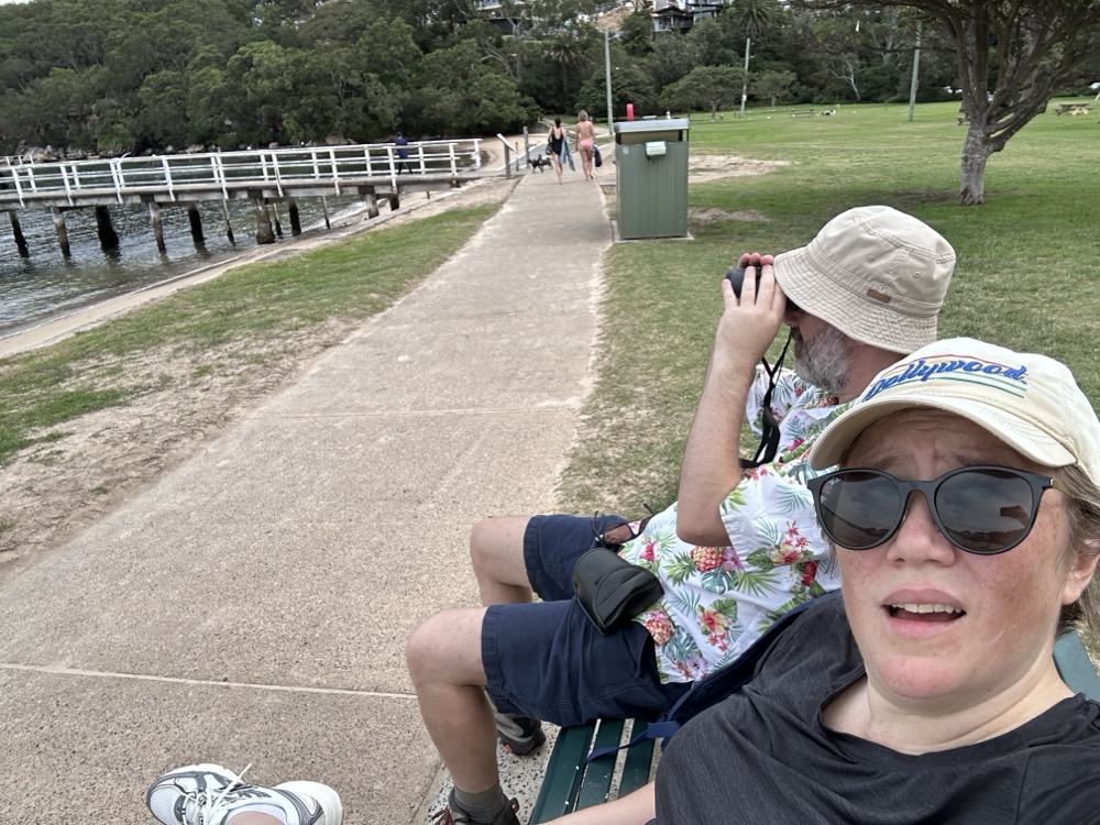
At Chowder Bay, we stopped for a rest and so the Snook could try out his binoculars. We were interested to walk past the Sydney Institute of Marine Science, which neither of us knew much about.
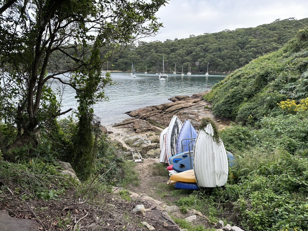
While much of the coastline in the national park isn’t accessible except by boat, every now and then would be a path down to a hidden beach. We were amused by this one in Taylors Bay, where the locals had stacked up their kayaks and tinnies.
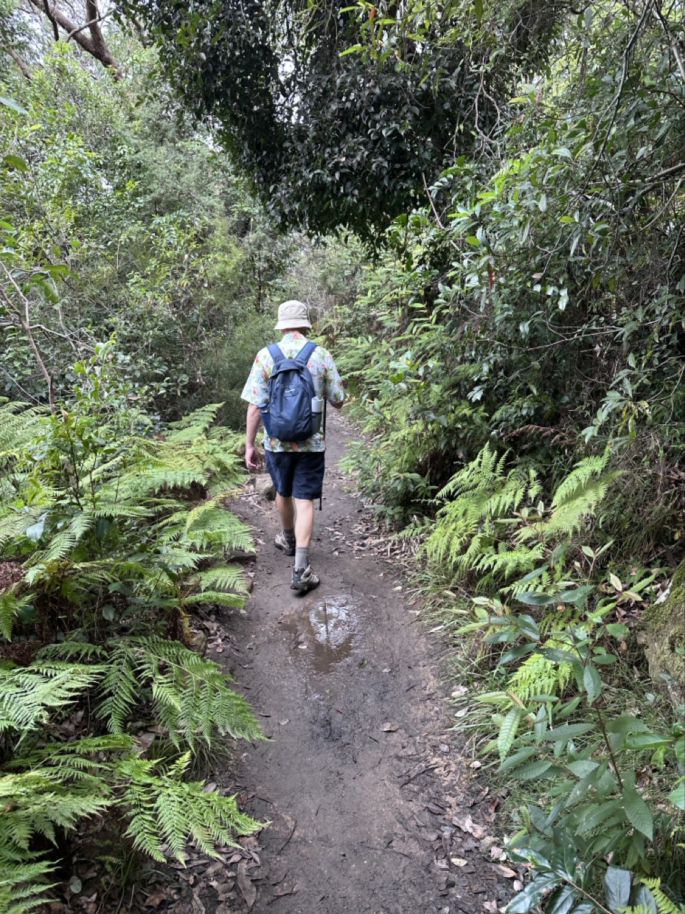
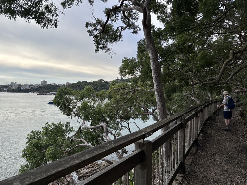
The path into Bradleys Head was pretty wet and mucky. We were glad to have our trekking poles to help us navigate past some of the mud puddles.
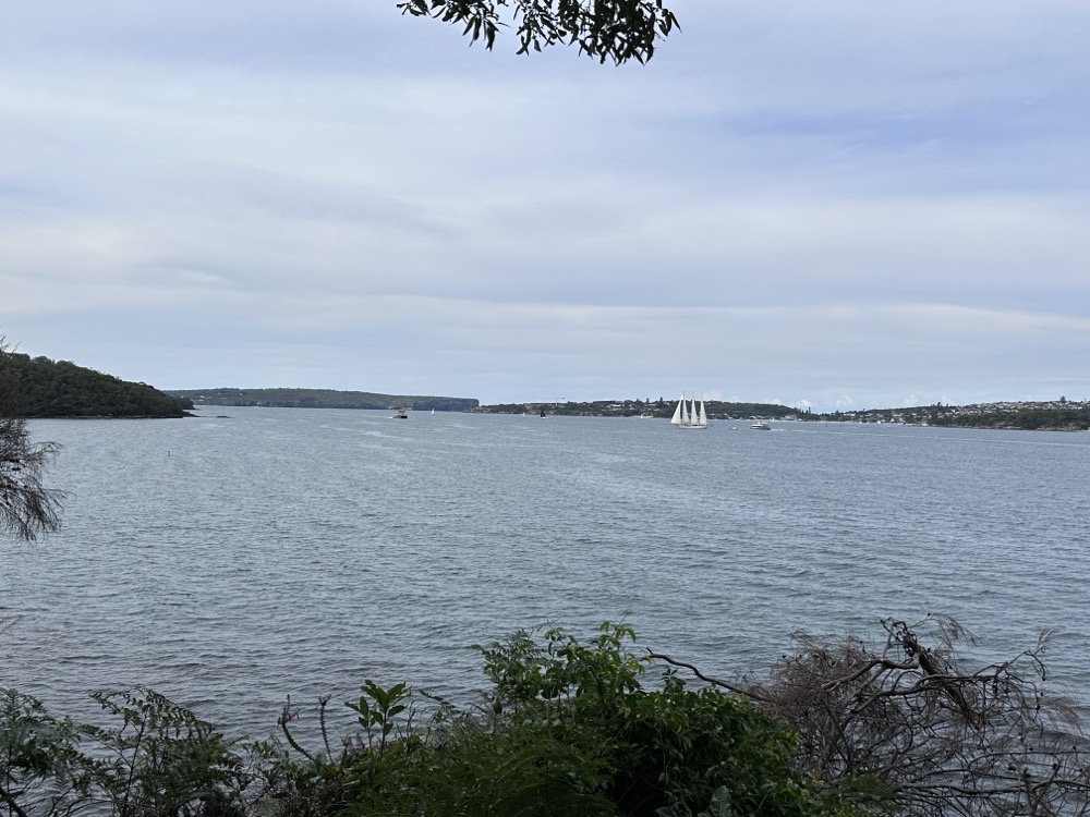
There were lots of sailboats out in the harbour. This big one had four sails on it!
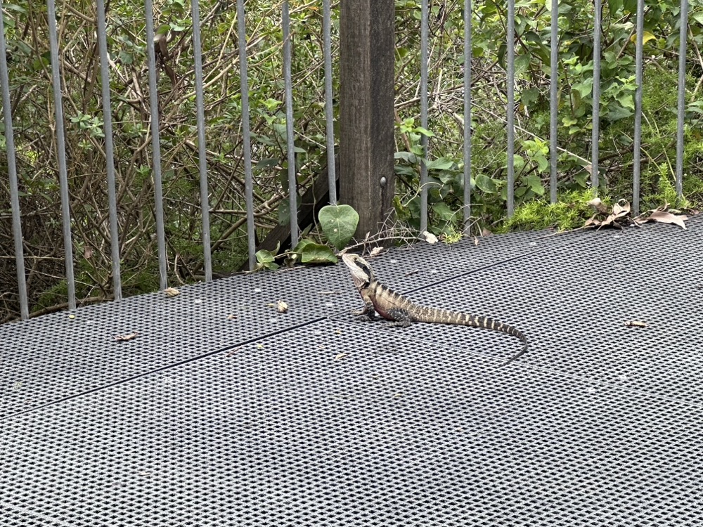
No new wildlife to report, just the same as on previous legs: water dragons (this fellow was particularly big), bush turkeys, kookaburras, and loads of skinks.
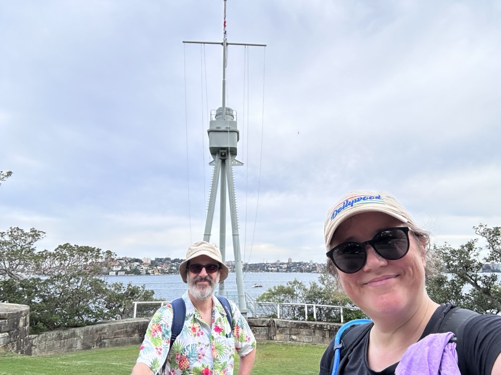
We finally made it to the very tip of Bradleys Head, which has a naval memorial with the mast of the HMAS Sydney.
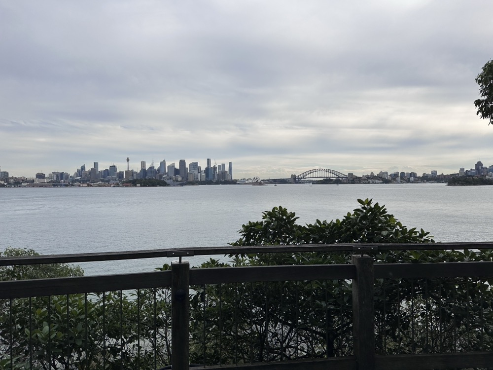
When we got to the western side of Bradleys Head, we finally had a great view of the city! Wow, it still seems like so far to go.
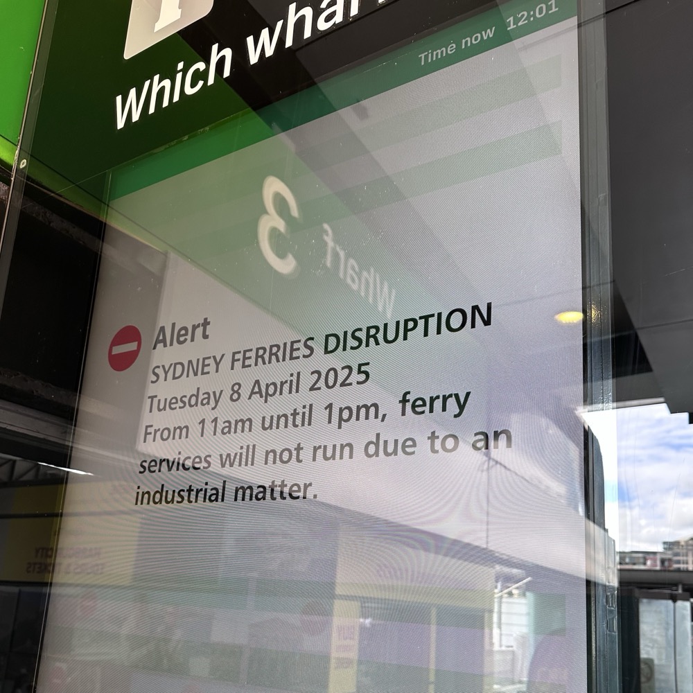
Finally we caught a glimpse of our endpoint for this leg – the Taronga Zoo ferry wharf. I was feeling really good at this point, and I hadn’t suffered any injuries. “DON’T JINX IT!” Rodd laughed. 😂
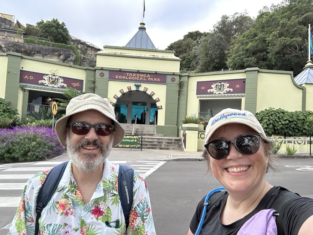
We made it to Taronga! And we could see the ferry chugging across the harbour towards us.
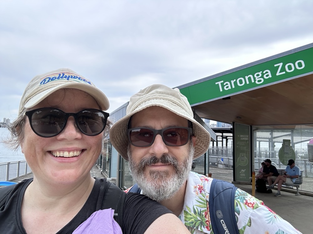
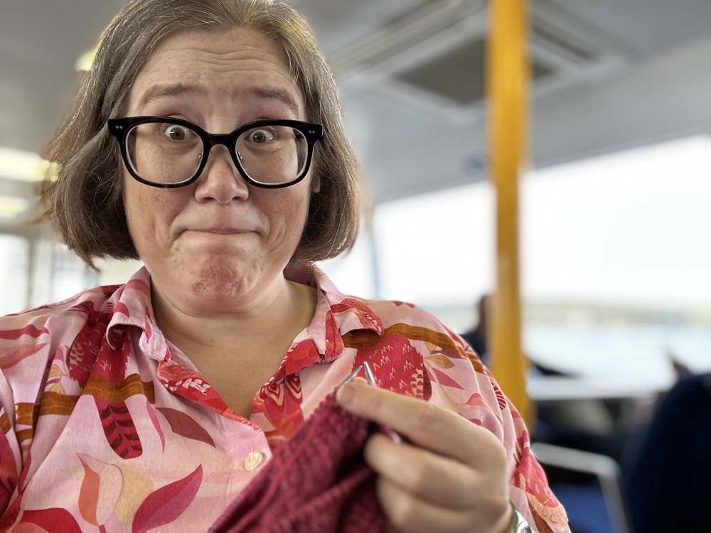
And here we are at the Wharf, our designated stopping point for this leg. Tired but feeling pretty good. Yay for no mid-hike injuries!
Here’s our Strava map for this leg. It’s the longest one yet!