For our tenth wedding anniversary, we decided to take a trip somewhere neither of us had ever gone before: Tasmania. As usual, I did a heap of research and booked us in for a lot of things ahead of time. (There’s a complete map here of everywhere we went.) I don’t like traveling without an itinerary of some sort! And the Snook generally prefers not making decisions, so it works out well…

We caught a midafternoon flight from Sydney to Hobart on Virgin Australia. Economy seats weren’t super spacious, but it was cheap enough and it’s a fairly short flight. While it was hot when we left Sydney, it got rainy and misty once we crossed the Bass Strait.

Excited to set foot in a new state on a new adventure!

This big poster for MONA was in the Hobart Airport baggage claim area. We were amused.

We caught a cab to our hotel, the Grand Chancellor Hobart. It was a little corporate and soulless, but very conveniently located on the harbour. We got an “upgrade” to the 17th floor, which had this amazing view when you stepped out of the elevator. Unfortunately our actual room faced the opposite direction into the city. Still, it was impressive.

We got dressed up and headed into town to celebrate our anniversary. You’ll note that we’re wearing the same outfits we got married in!

We started with a whisky tasting at the Lark Distillery. It was a little smaller and shabbier than I was expecting; more like a pub than anything. The whisky was good though. Here’s the Snook enjoying a flight.
Once suitably lubricated, we headed up to Hobart’s trendiest restaurant: Garagistes. Honestly, this was a little out-there even for us. The seating is all communal, and the unisex bathroom has a floor-to-ceiling glass wall that fronts onto the street (right next to the front door). You get the idea. The food was actually beautiful and tasty, though the portions were pretty small. We opted for the matched wines, and at one point I asked the server why none of them were from Tasmania. She explained patiently that they only served “biodynamic, organic wines” which they were unable to source locally. Okay then. Overall I’d still recommend the place, but only if you don’t mind high-falutin foodie wank.
The next morning we checked most of our luggage at the hotel and stumbled to Daci and Daci for breakfast. The place was clearly popular with locals, and the food was great (though $15 for a croque madame is expensive, even for Sydney!). There we met up with our group for the Bruny Island Long Weekend. It was just us, one other older couple, and our two guides Rob and Ollie. We all grabbed a coffee while Rob showed us maps of where were going that day. Then it was time to head to the harbour.

Hey look, there’s the SSS Bob Barker!

While most tourists take a bus and a ferry to Bruny, on the Long Weekend you get to travel by own private boat. It’s actually one of the ones from Pennicott Wilderness Journeys.

And hey, our captain was Rob Pennicott himself!

Nearby in the harbour was an actual submarine. I think it was the HMAS Rankin. Behind it is the University of Tasmania’s Institute for Marine and Antarctic Studies. (Capt. Rob joked that the signage on the building had literally only been stuck on a few days before for the Chinese president’s visit.)

Houses in Hobart on a windy, misty morning.

Captain Rob actually stopped the boat several times along the 45-minute trip to Bruny, pointing out wildlife and landmarks. A couple times he nosed us in quite close to a sea cave to have a look. (One of them had a naked dude in it! An actual hermit! He ducked when he noticed us coming. That was weird.)

We also spotted some white bellied sea eagles hanging out on a rock nearby. This is pretty rare, so we pulled up close to take pictures.

Here’s the best photo the Snook managed to take.
Captain Rob dropped us off at the jetty at Dennes Point on the northern tip of Bruny. Then we piled into a van and headed south towards the neck. The plan for the day was to hike to Cape Queen Elizabeth. We parked the van, loaded up on water and sunscreen, and headed off!

The first part of the walk was on flat, well-maintained track. We stopped often to look at flowers and trees. Everything was in bloom!

Rodd thought this fungus was really neat.

He had a lot of fun taking closeups with his new camera.

The trail skirts the Big Lagoon, and we stopped to take some photos and admire the view. I noticed a little bump moving along the water’s edge. “Hey, what’s that?!”

It was an echidna! We all went over to get a closer look…

And he did the funniest thing! He immediately started digging into the dirt to hide from us. He didn’t manage to get very far in – most of him was still visible – but maybe he thought if he couldn’t see us, we couldn’t see him. Anyway, we let him be and carried on.

Black Cockatoos.

The trail skirts along the beach for a ways.

This is looking across Adventure Bay towards South Bruny.


These silver ferns were very pretty.

We climbed Mars Bluff and continued up to Cape Queen Elizabeth. Finally we made it!

The views were spectacular!

Here’s me with Adventure Bay behind me.

At this point, Rob and Ollie started unpacking lunch from their giant backpacks. We each had a beautiful, huge slice of quiche along with a rocket/walnut/feta/olive salad and an apple. The boys even brought out a camp stove so we could have coffee afterwards.

Here’s Mr. Snook enjoying his lunch. Despite the grey skies, it was actually perfect weather for hiking. Not too hot and not too cold.
We took some panoramas of the view from the point.

Looking north towards Storm Bay.

Looking south towards Adventure Bay and South Bruny.

What goes up must come down. We started retracing our steps. The neat thing about the Cape Elizabeth track is that you can return via Miles Beach if the tide is low. There are big rocks right down to the water, so if the tide is high you can’t get down there at all.


We scrambled around the rocks and posed under a really cool natural arch.

There was actually a secret passage through the rocks above that we took at one point.

Rodd found a fossil!

I didn’t get a photo of the worst bit, mostly because I was concerned with timing my trip around the rocks to coincide with the waves. Even with taking our shoes off and rolling up our pants, most of us got pretty wet. (Somehow Rodd soaked one pant leg and not the other!)

He took a photo of me through another natural arch.

Looking back, I returned the favour.

Me heading into another narrow passageway. This one was deceptive because it looks dry at the start, but halfway through the waves would start rushing in!

Yep. Got wet again.

At last we were past the rocks and able to put our socks and shoes back on. That high point in the far off distance? That’s where we ate lunch!


Selfie on a spectacularly empty beach. I think we only saw two other people the whole time!
The entire hike probably took us around 6 hours, but that’s with plenty of stopping to take photos, munch granola bars, and then a break at the top to have lunch. I’m not gonna lie – it was a little more exercise than I was expecting! (I was so entranced by the beautiful photos on the website that I glossed over the mention of the 5-6 hour walk.) But it was well worth it, and even with my dodgy knees I managed just fine. We saw amazing scenery, cockatoos, an echidna, a pademelon (little wallaby), rocks, fossils, shells, and thankfully no snakes.

Once we got back to the car, we headed to the next stop: Sam’s oyster farm. It was on the western side of North Bruny (not far from the cheese company) looking out into the Great Bay.

Rob and Ollie invited us to wade out to the racks, but we opted to sit on the rocks and try to warm up. They took an esky out to get some oysters for our dinner.

It feels pretty chilly when you’re in wet pants and not moving around!

Rob came back with this MONSTER OYSTER, which he laughingly described as Sam’s pet. It was the biggest oyster we’d ever seen! Don’t worry; we just marvelled at him and then he went back into the water. We did eat some of his friends though, right there on the rocks.

We also stopped at a nearby apple orchard to pick up juice for breakfast. It was waiting in the self-serve “bootique shop”. (They get some eccentrics on Bruny!)

At some point we crossed the narrow neck into South Bruny and turned off the main road. Eventually we arrived at Camp! There are permanent king-sized tents set up on raised platforms, though we only used two of them. It’s wonderfully secluded and quiet, and pretty much entirely off the grid. All water comes from the rain and the electricity is solar. There’s no land line and to get reliable cell service you need to run back up the road a bit. (I’m with Telstra and my signal was dropping in and out depending on where I stood.)

The dining house is a short walk across the paddock. Judging by the amount of wallaby poo in the paddock, we knew there was a lot of wildlife in the valley!

Here’s the inside of our tent. Rob told us the most important thing is to ALWAYS keep the flaps on your tent zipped up tight (lest a mozzie or blowfly get in at night and make you crazy).
For those that worry about bathroom facilities (I’m one of them), there was a shared toilet block with a very nice composting toilet inside. No need to worry about flushing or sprinkling sawdust; you just make sure the lid is closed when you’re done. (You can’t even see anything gross inside, and there’s no smell.) We used a piece of rope across the door as a signal that the facilities were occupied. At the other side of the property was the shower with a gas-powered instant-on hot water system. One side is open and faces down into the valley. (Epiphany shower!) We used a red ping-pong paddle to indicate when it was being used. (Note: the area by the shower was quite damp, and I noticed a little leech on my shoes when I was getting dressed on the second day. So I wouldn’t advise walking around barefoot!)

View from the dining house porch.

As the sun dipped lower, the shadows grew.

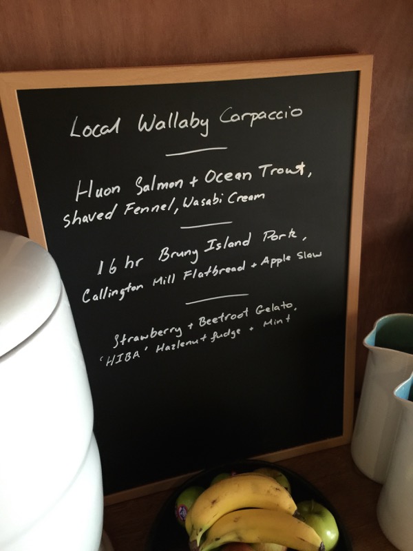
Rob and Ollie busied themselves getting the dinner ready. Here was the menu.

The fridge was well-stocked with drinks, both alcoholic and non. The Snook and I decided it was definitely beer o’clock.

We started with some Bruny Island Cheese. The O.D.O. (one day old) was spectacular spread on some Daci & Daci bread and drizzled with olive oil. I also enjoyed the novelty of finally trying their Raw Milk C2, which is the only legal raw milk cheese made in Australia.

Next came the Spring Bay mussels in white wine and saffron cream. I’m not the biggest mussel fan in the world, but these were delicious. I think I may have even had seconds! We mopped up the lovely cream and juices with more bread.

So much food! This is the Murrayfield lamb rumps – perfect and blushing pink – next to a positively obscene (in a good way!) platter of quinoa and roasted vegetables, topped with spiced yogurt. Rob also incorporated some samphire (the green stalky bits in the lower-left corner) that he picked from the shore at the oyster farm. It was crisp and salty.

The wine and conversation flowed, and once the sun had set the boys closed the doors and lit the fire. It turned out that our fellow travellers were a little geeky too, so we had some great debates about technology and social media (none of which I can remember now). Dessert was a delicate pannacotta with honey and fresh berries.
Eventually it was time to light the flashlights and head back to our tents. I’m not gonna lie – that part was a little scary for this city-dweller! A wallaby THUMPED nearby in the bush and I nearly jumped on top of the Snook. The night was cool, so Rob had provided some hot water bottles and extra blankets but we didn’t need them at all. I am a notoriously bad sleeper in strange places, but even I managed to get a good rest in.
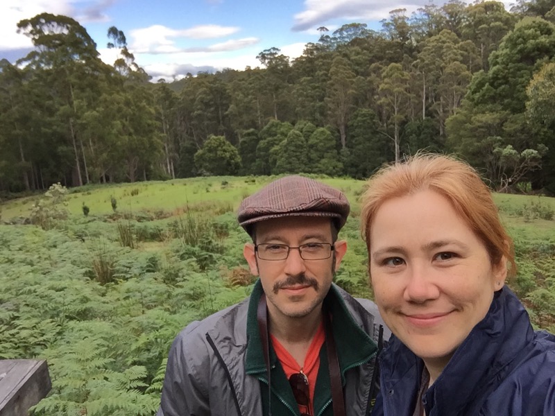
Here we are the next morning, breakfasted and caffeinated.
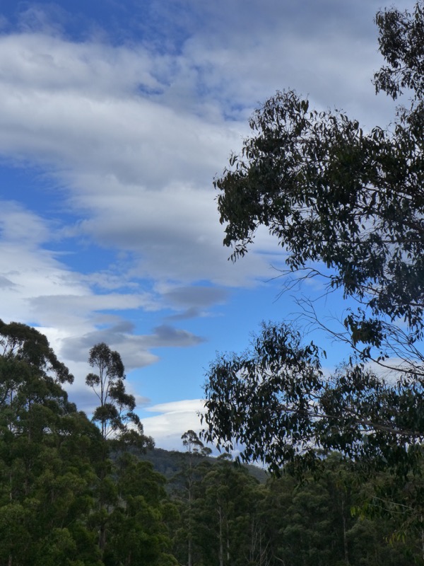
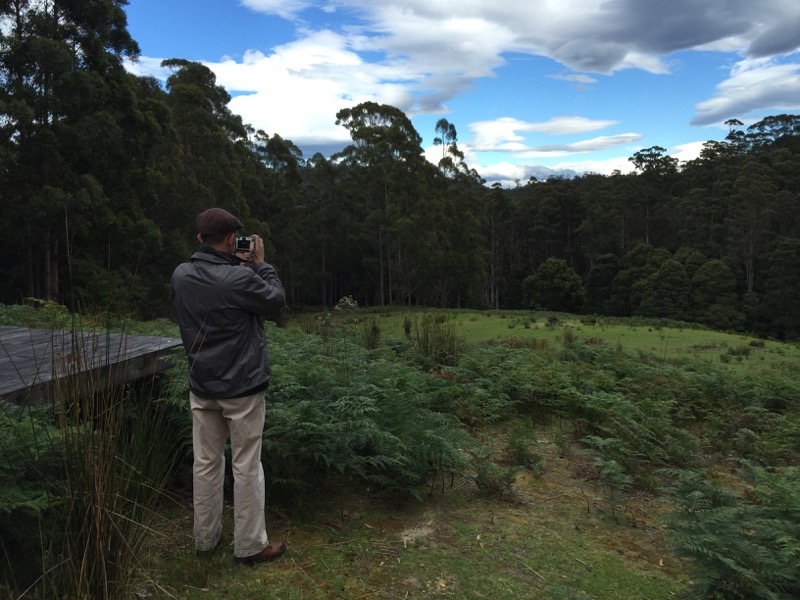
There were some fluffy clouds across the blue sky, and the weather forecast seemed to have a bit of everything in it.
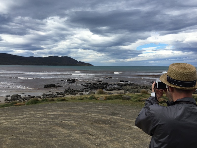
Day Two’s agenda was to walk from Cloudy Bay to East Cloudy Head. Here’s the Snook as we prepared to head down the beach.

This is the photo he took. See the little light speck amongst the green at the water’s edge across the bay? That was our first destination, the 4wd track up to what must be the most secluded campsite in all Australia.

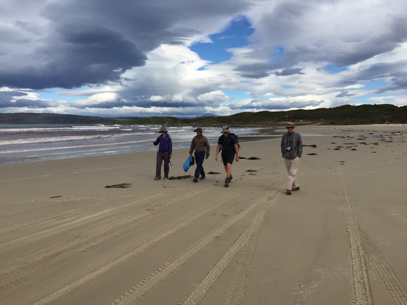

The sky was amazing, if a little foreboding. I knew that this easy, flat part of the walk would end soon enough!
We made it to the campground at the far end of the beach and I went for a quick bathroom break at the camp toilets. (Everyone else was willing to pee behind trees as the need arose, but I just can’t. I managed to survive the previous day’s hike without bursting, but only just.)
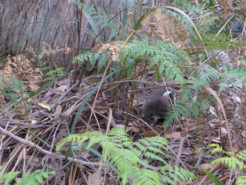
When I came out of the toilet, the Snook took me over to see something he’d discovered nearby. It was a baby echidna!

Baby echidnas are called “puggles,” which is the CUTEST THING EVER.
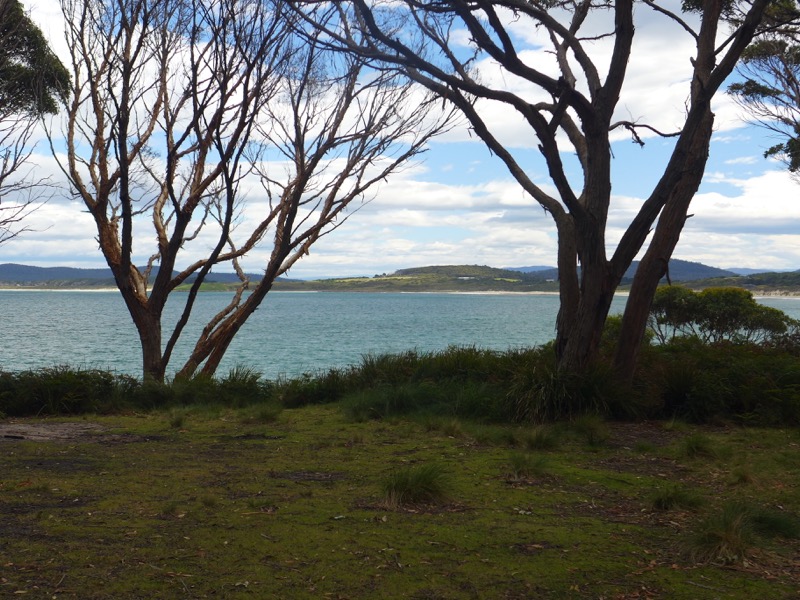
Looking from the campground back across Cloudy Bay to the start of the beach where we began our journey.

The climb began in earnest. I knew this one would be steeper and more difficult, so I found a suitable branch to use as a walking stick. The first section isn’t too bad. The Snook took a panorama looking back behind us towards the beach.
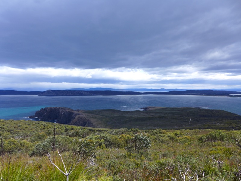
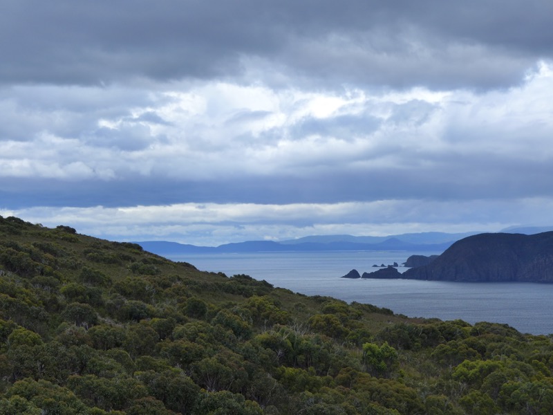
The landscape on the exposed southern side felt almost alpine, while the sheltered bit on the north side felt more rainforesty. The further you go, the more overgrown the trail becomes. (Long pants are definitely recommended.)
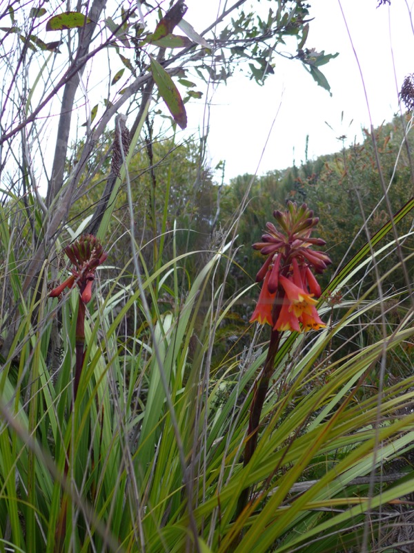
Rodd was again pausing often to take closeups of flowers, rocks, and fungus.
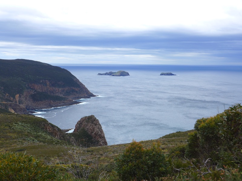
Eventually we were rewarded with a view of The Friars, large rocks in the Southern Ocean with a fur seal colony that we’d visit the next day.
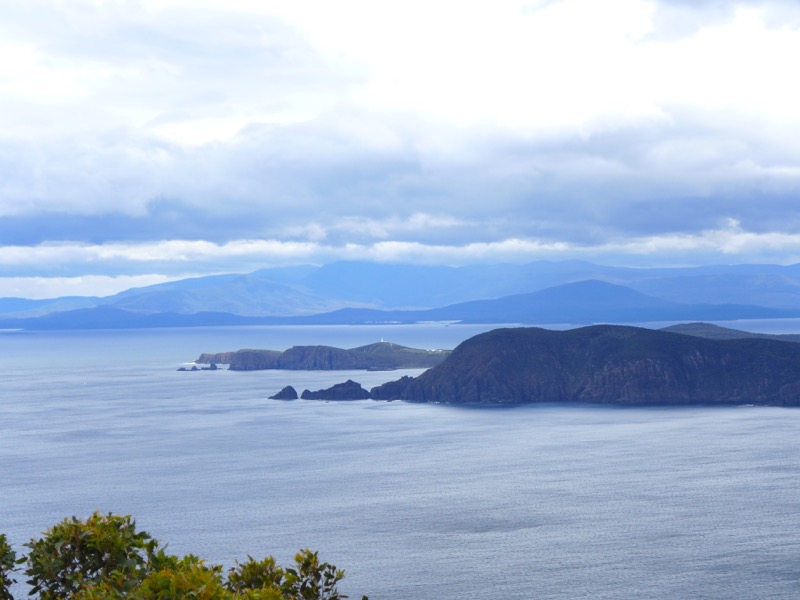
We could even see Cape Bruny Lighthouse far off in the distance.
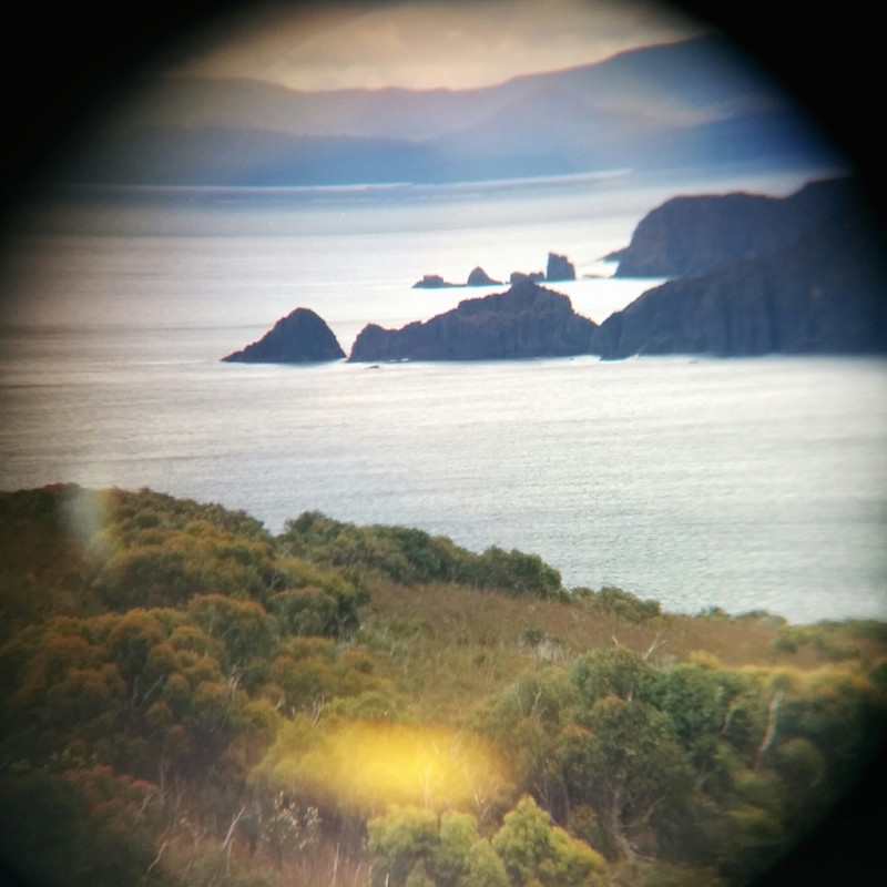
Mr Snook remembered to bring his binoculars and had some fun trying to take photos through them.
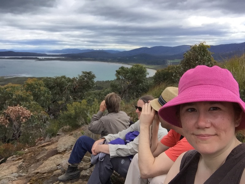
We made it to the top! I was sweaty and red-faced, and I’d managed to twist my ankle a little on a rock. It was still worth it.
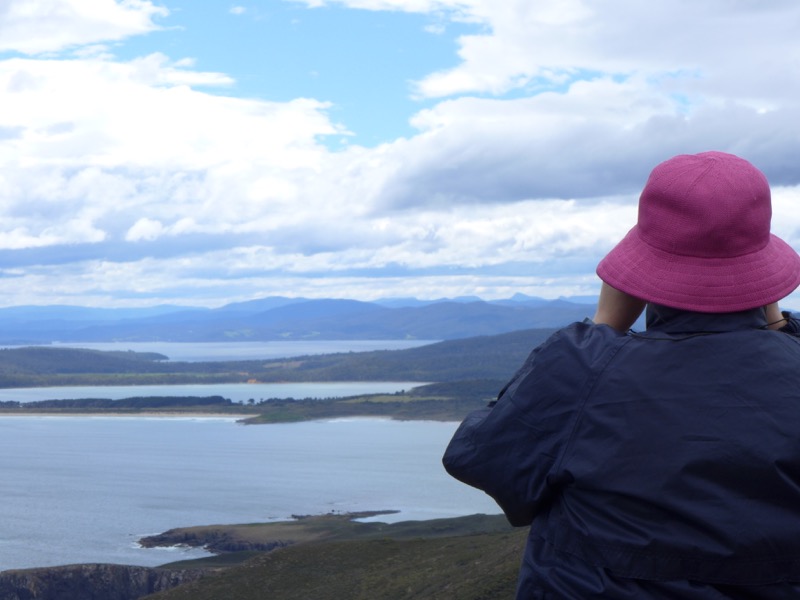
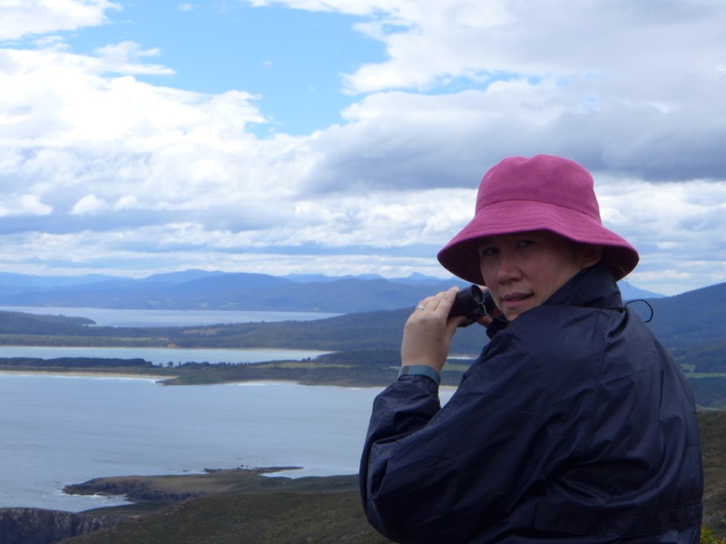
What are you lookin’ at? 🙂
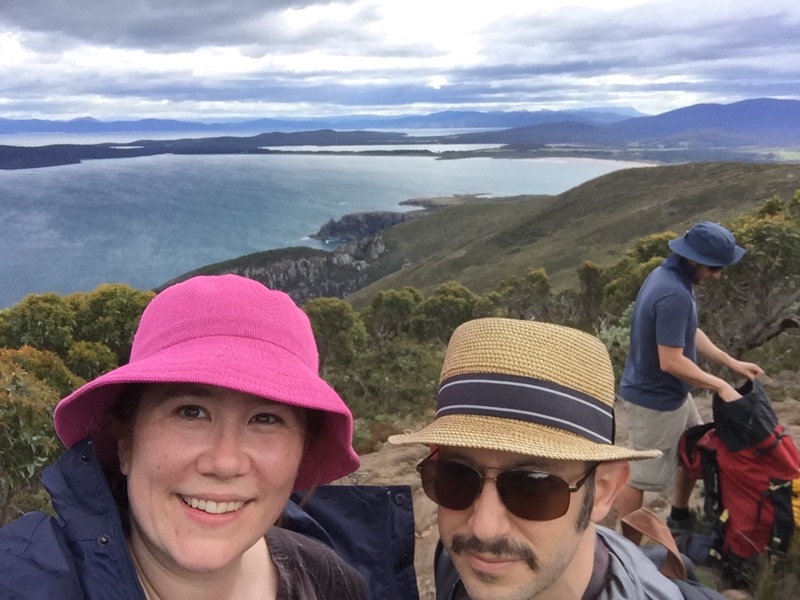
We had another great lunch including leftovers from the previous night’s dinner. Then we packed up and prepared to do the whole trip in reverse.
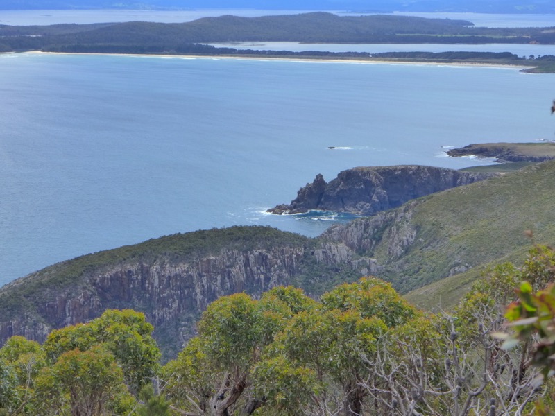
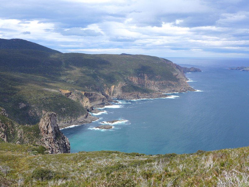
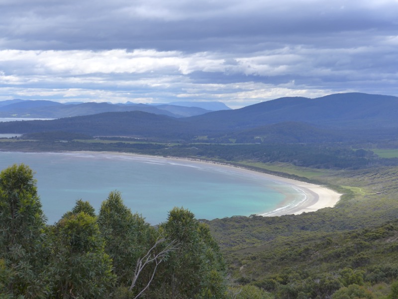
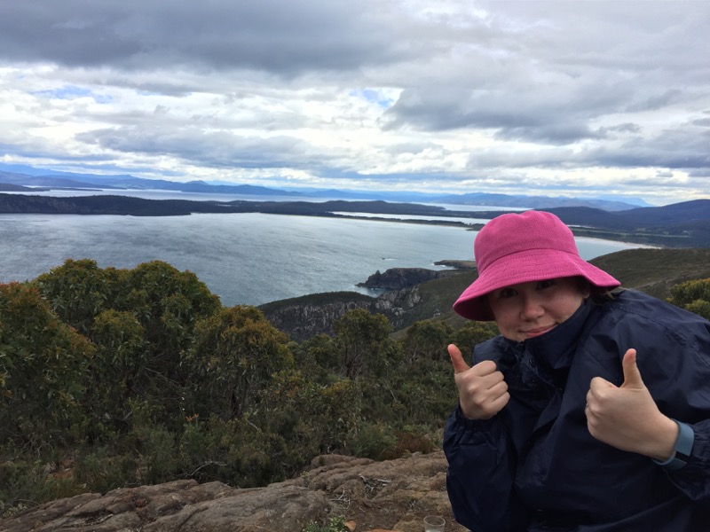
Going down may have been harder than going up! It certainly gives your quads a good workout. I was hanging in there though.
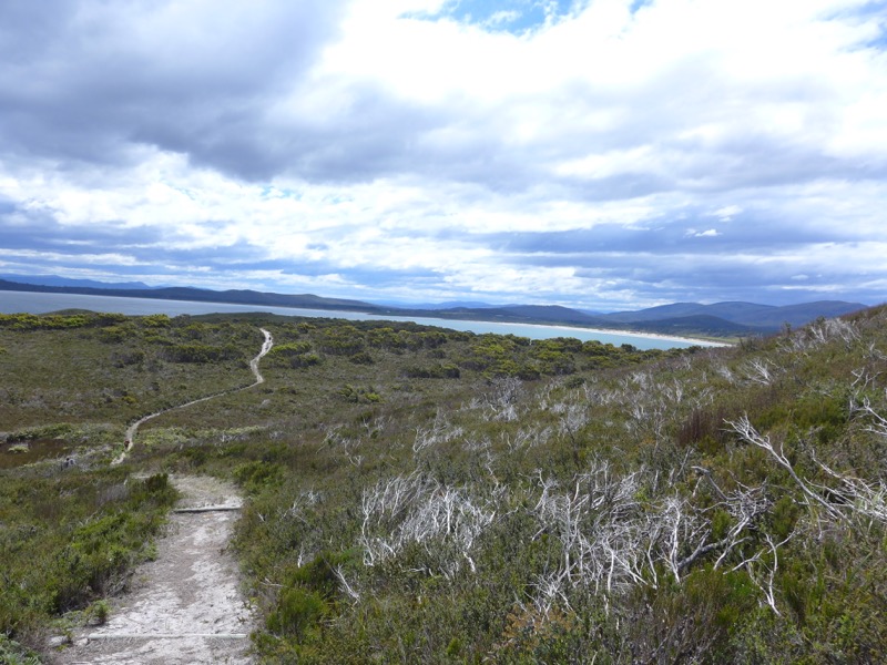
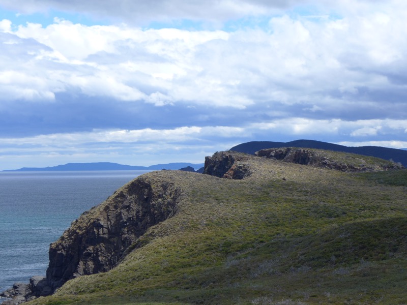
Again, I couldn’t believe how empty the area was. I think we maybe only saw two other people outside of the campground. (There were plenty of people camping though.)
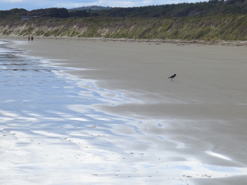
Finally we made it back to the beach. A few people actually stripped down to bathing suits and went for a swim, but I contented myself with wading into the surf.
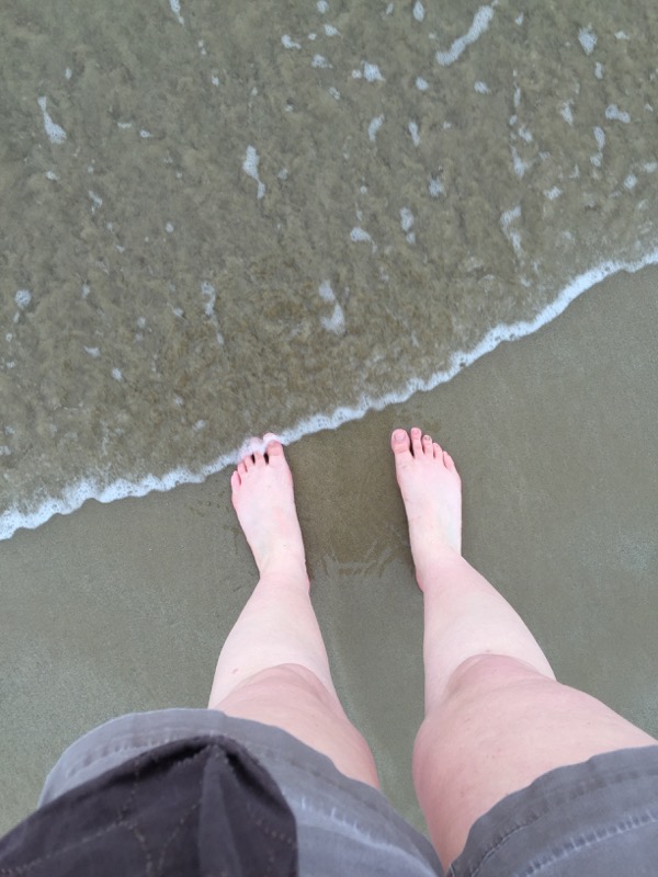
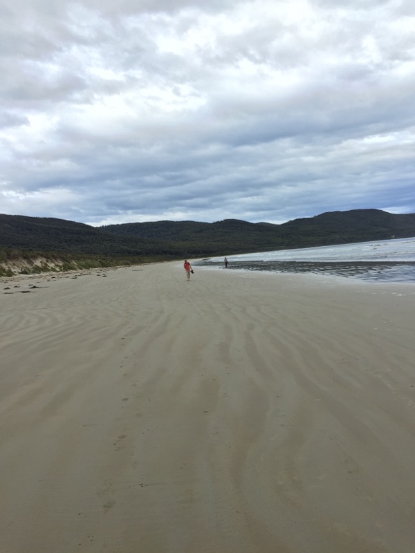
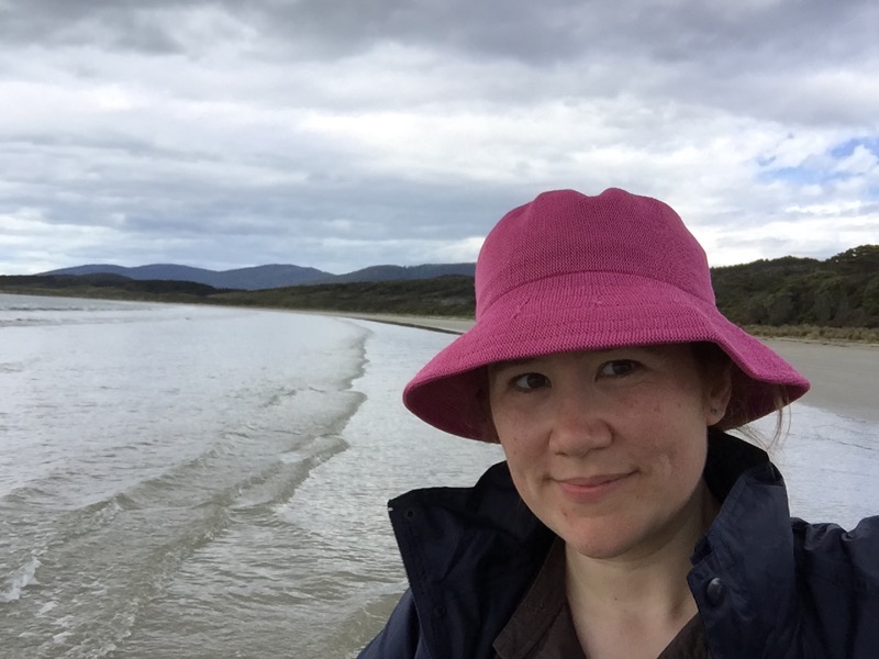
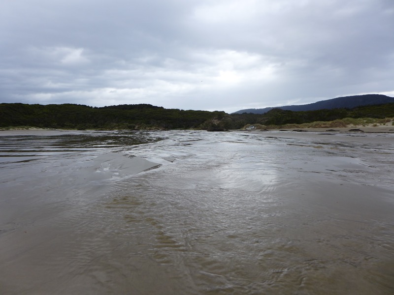
A few little streams actually meandered across the beach to empty into the bay.
Within a hundred yards of the car, the clouds finally opened and it began to pelt with rain! We ran for it. What a day.
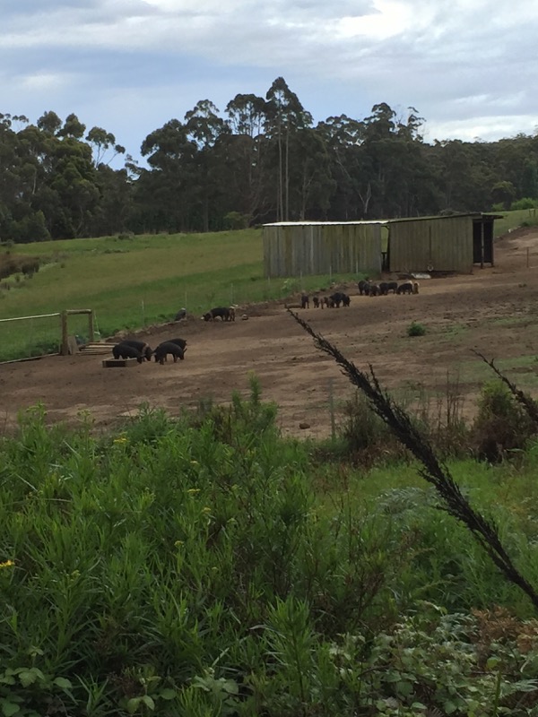
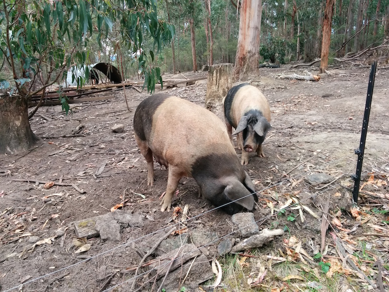
Time to pick up some supplies for dinner. We headed to Ross O’Meara’s farm where he raises heritage, rare breed pigs (as seen on Gourmet Farmer). Unfortunately Ross was at the markets in Launceston, but his wife Emma brought us out some slow cooked pork shoulder that he’d prepared for us.
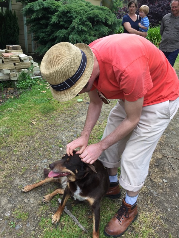
Mr. Snook made a friend. That’s Emma and Felix in the background. (He was adorable and told us all about how he helps his Dad.)
Back at Camp, it was time to kick back and relax while the boys prepared another amazing feast.
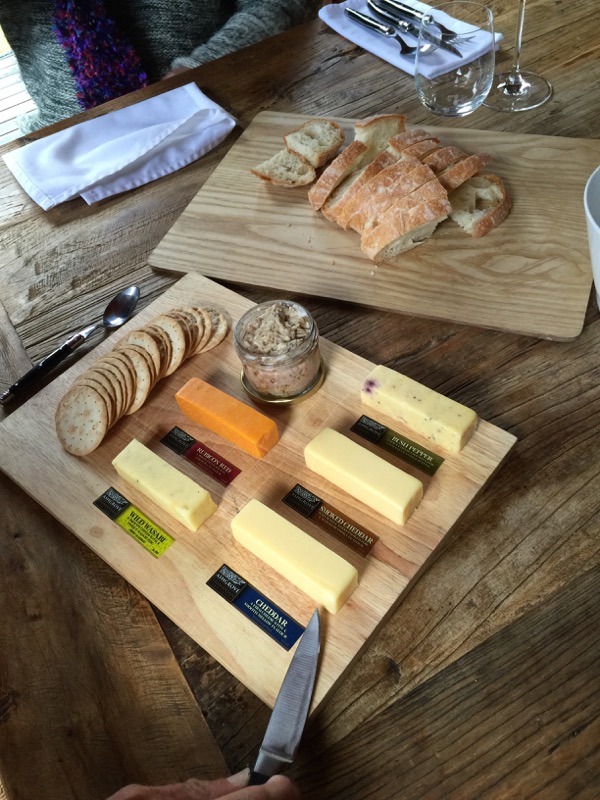
Tonight’s cheese board was from Ashgrove Cheese, which we had plans to visit later in the week.

And here’s the amazing confit of trout and salmon. Unfortunately I didn’t take photos of the any of the rest of the food! I was too busy enjoying it. Tender wallaby, Ross’s pork with flatbread and apple slaw, and a lovely dessert of gelato and fudge to finish. I was less scared of the random wallaby thumps that night and had a great sleep in our cozy tent.
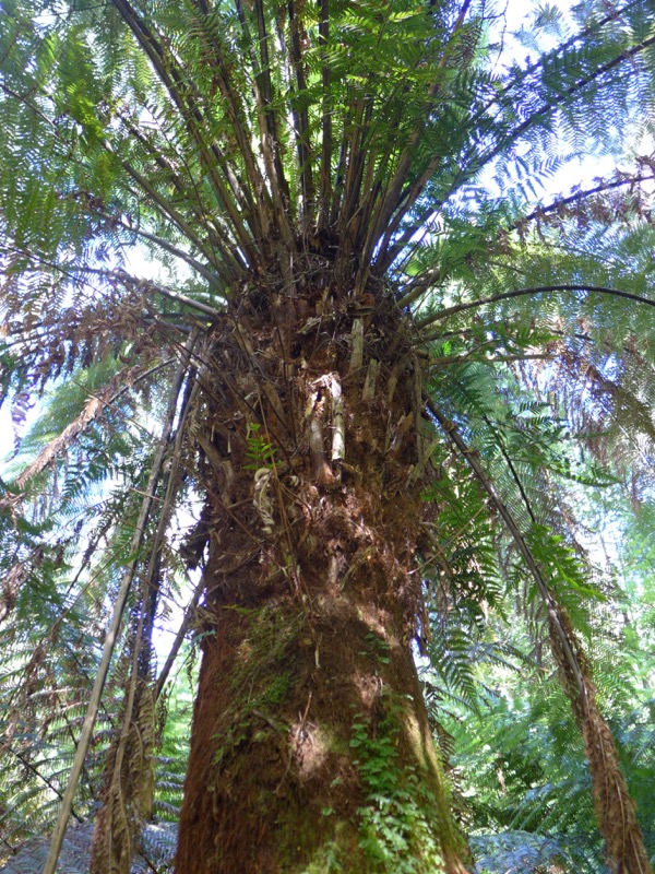
Day three began with the Mavista Nature Walk, a very short track through the rainforest along a creek.
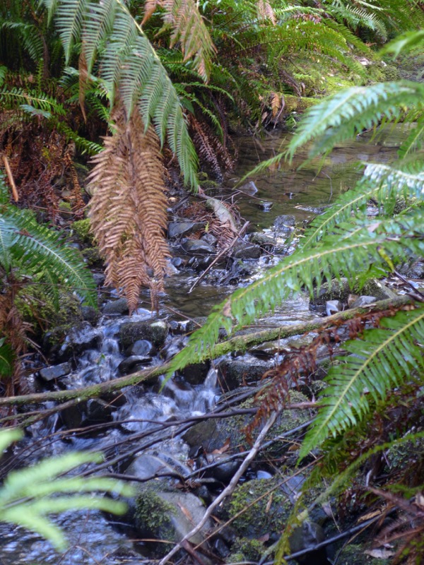
It was very pretty though. The “waterfall” was hilariously anticlimactic – just a little spot where the creek narrowed and spilled over a rock!
After we cleaned the leeches off our shoes (*shudder*), we headed towards Adventure Bay. Bruny famously has some white wallabies, and Rob thought we might be able to find them at an abandoned campground. (He had permission to take us there.)
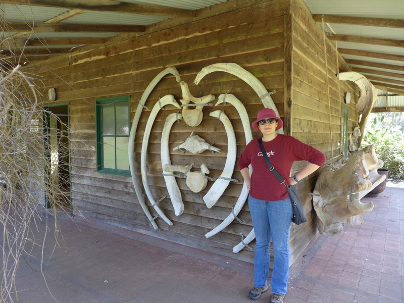
The campground was pretty cool, and I hope they reopen it. I liked this building decorated with whale bones.
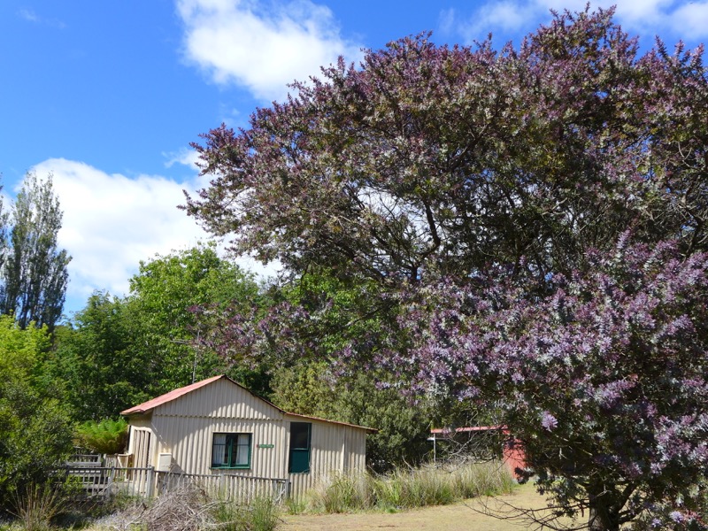
Everything was green with new leaves and often in bloom.
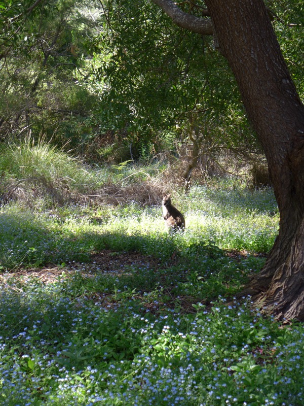
We never did spot any of the white wallabies, but this brown fella posed for us for several minutes!
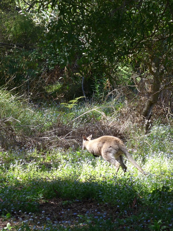
Boing boing!
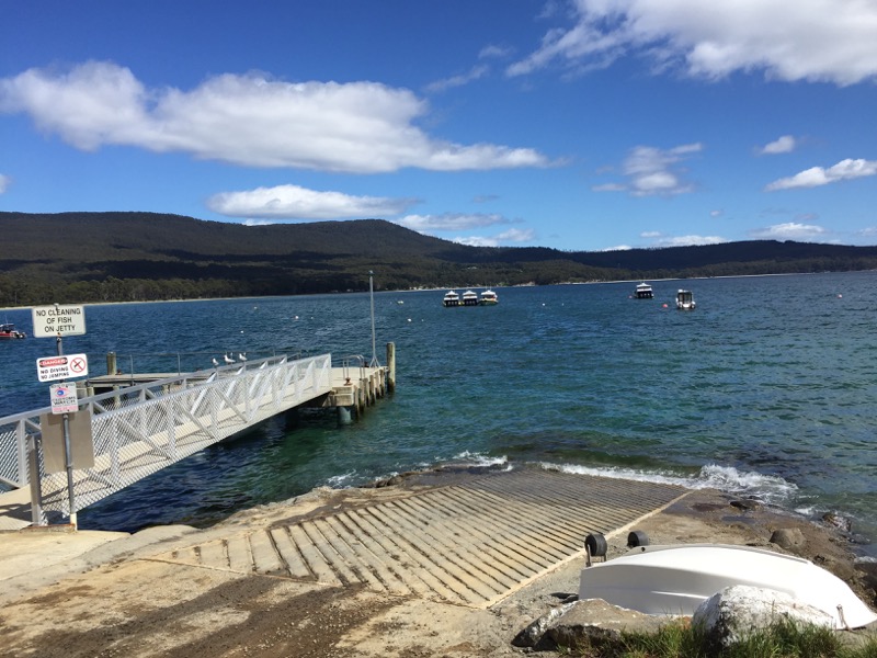
The main outing on the last day is one of Rob Pennicott’s famous Bruny Island Cruises. We headed to the jetty to wait for the boat.
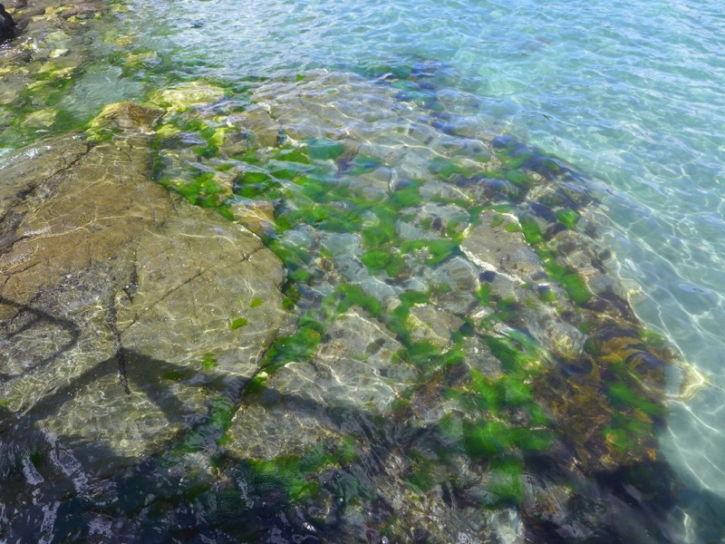
The water in Adventure Bay was amazingly clear, and it was a perfect day for a boat ride.
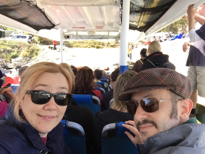
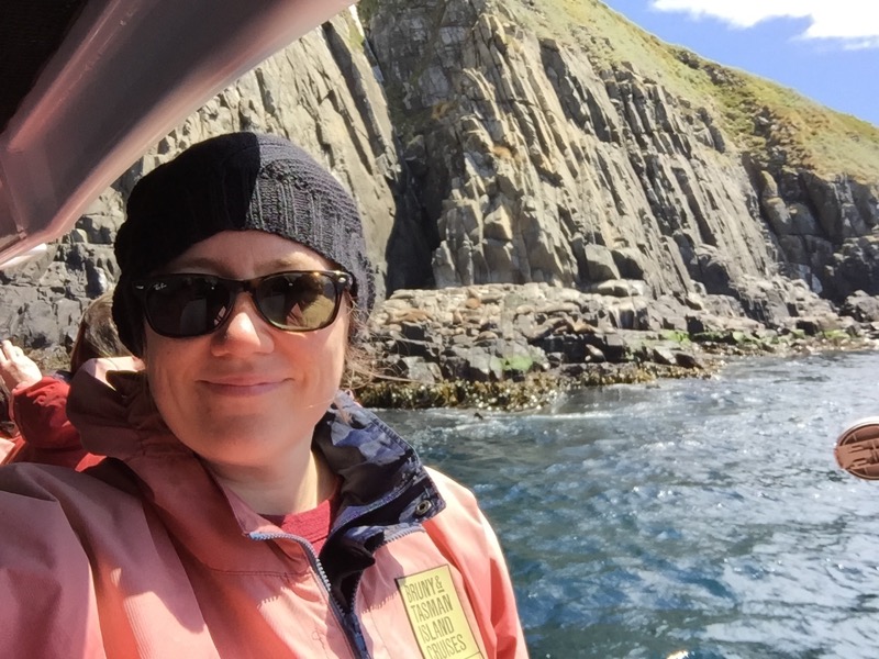
Here we are on the boat! Sadly, Rob wasn’t actually captaining this one. (They have two boats each operating two cruises a day, so it’s pretty busy.) Our boat was packed with day trippers from Hobart.
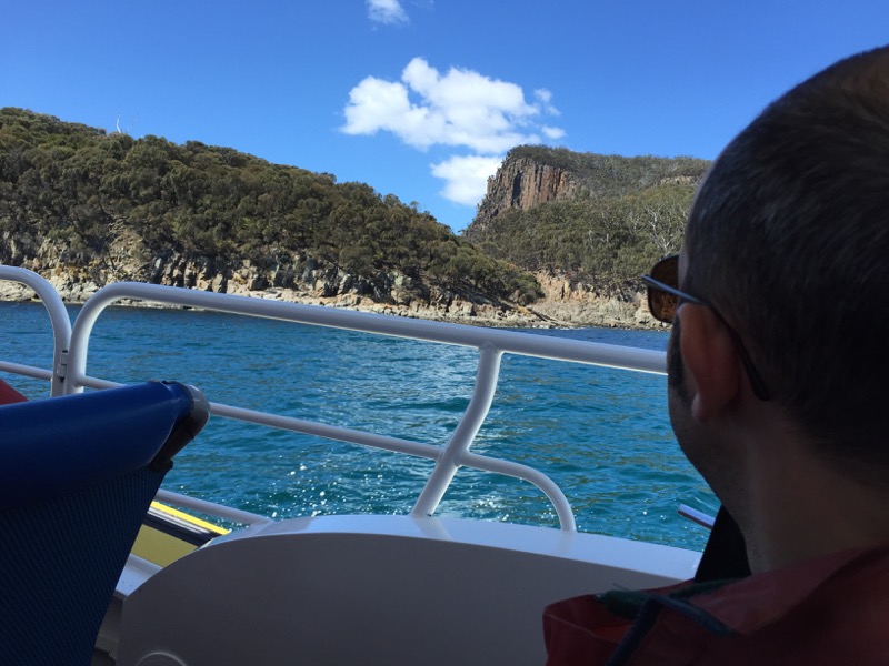
We slipped past Penguin Island at the tip of Adventure Bay and then turned due south.
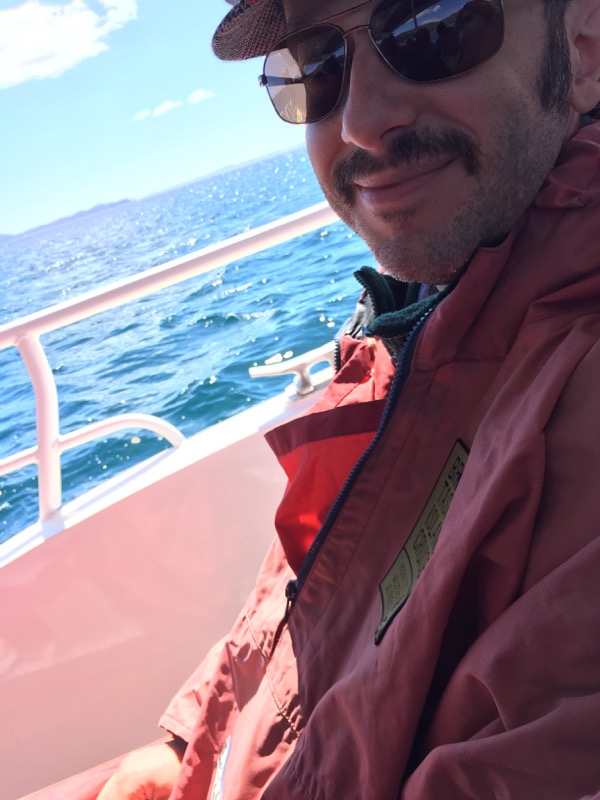
The crew handed out large, full-body windbreakers with hoods to keep us warm and dry from the sea spray.
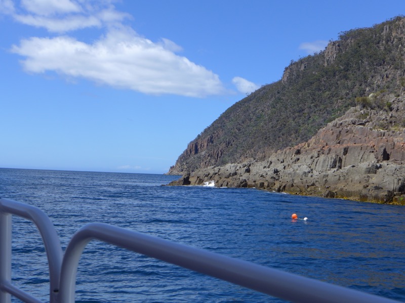
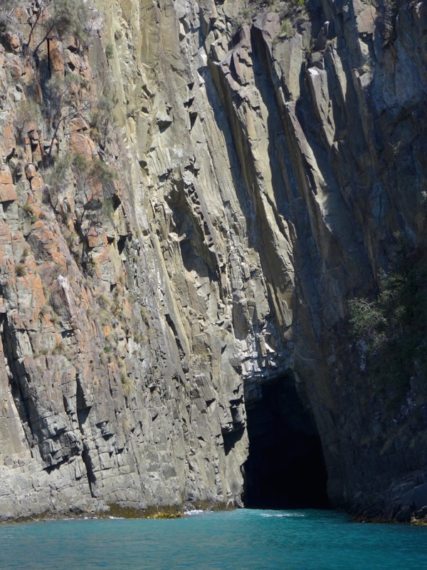
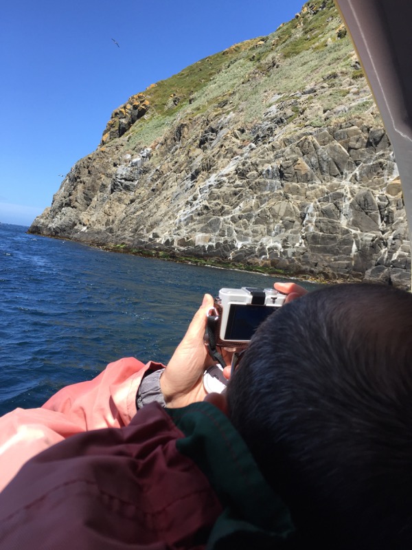
We took our time exploring the coast, checking out towering sea cliffs and nosing close to sea caves. The captain was great about making sure the boat turned around so everyone could get photos. (They also handed out ginger lollies to anyone worried about seasickness.)
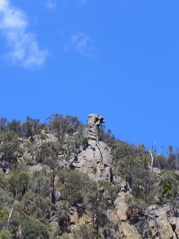
A famous local rock formation known as Eagle Rock.
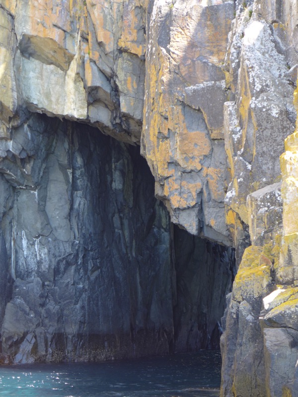
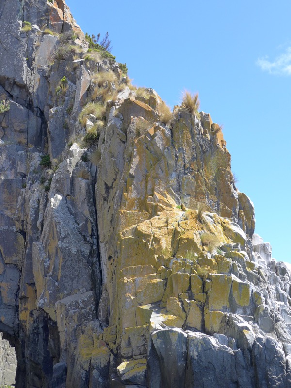
The lichen on the cliff rocks looked like it was painted on, it was that vivid.
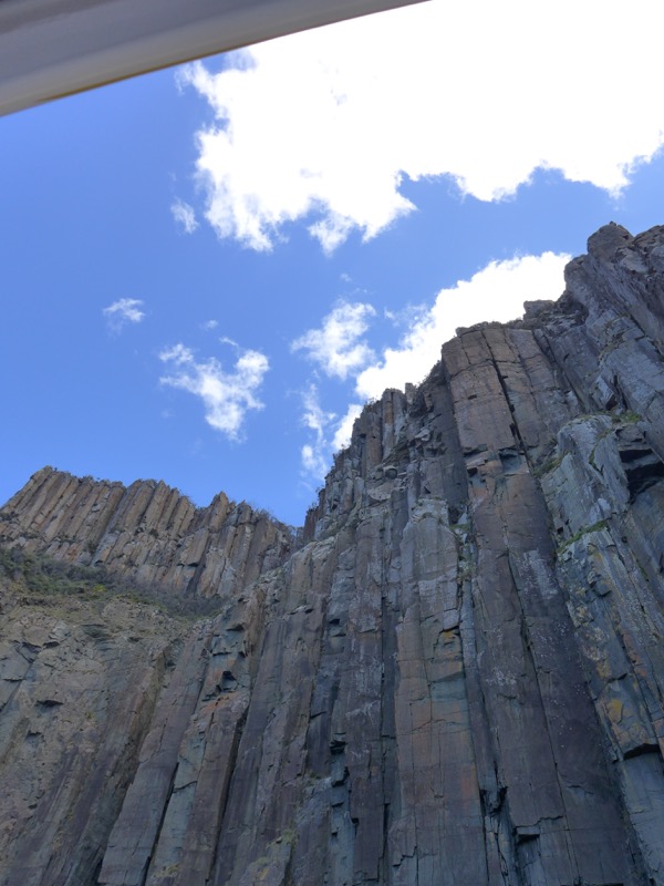

Bruny has some of the tallest sea cliffs in Australia.
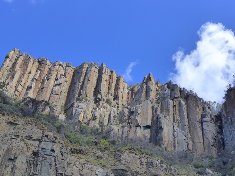
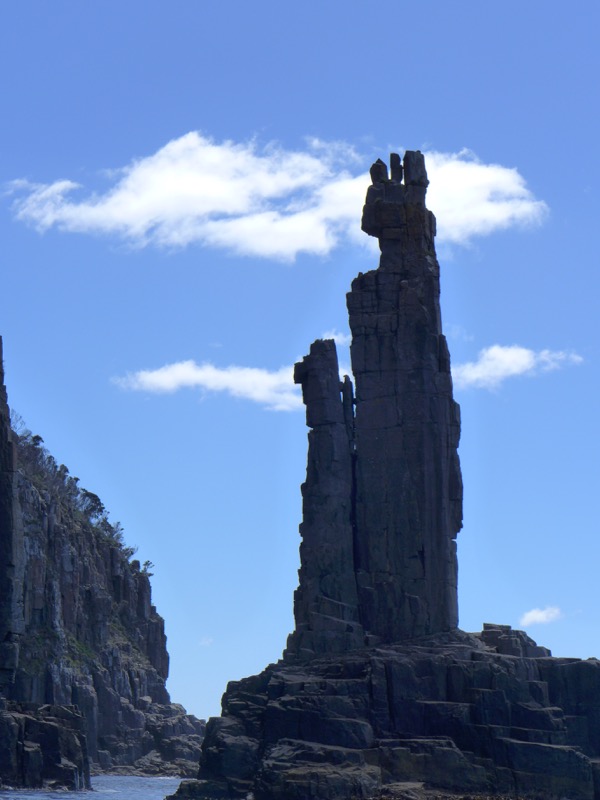
The Monument is a 30m high dolerite stack separated from the cliffs by a narrow gap. The captain gunned the boat and we shot through, and it felt like Luke navigating the Death Star trench. Exhilarating!
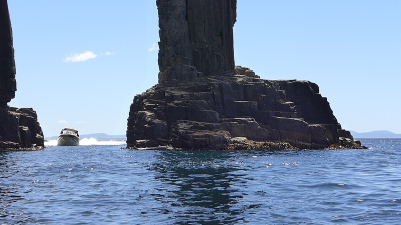
Admittedly, when we watched the second boat come through after us we could see that there’s plenty of room. Still, it feels really narrow when you actually do it!
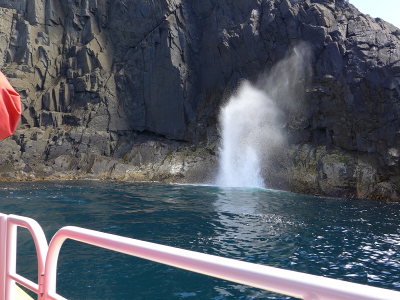
Breathing Rock was another highlight. This blowhole sucks in water from the waves and then expels it in a massive explosion. (Check out this video to see it in action.)
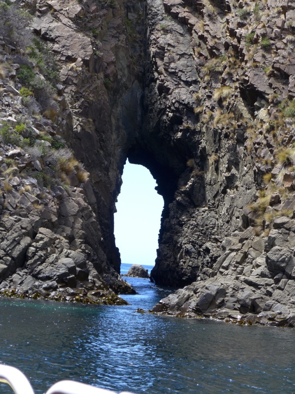
I think the captain said this cliff arch was called “Parrot Rock” or something like that, due to the profile of the opening.
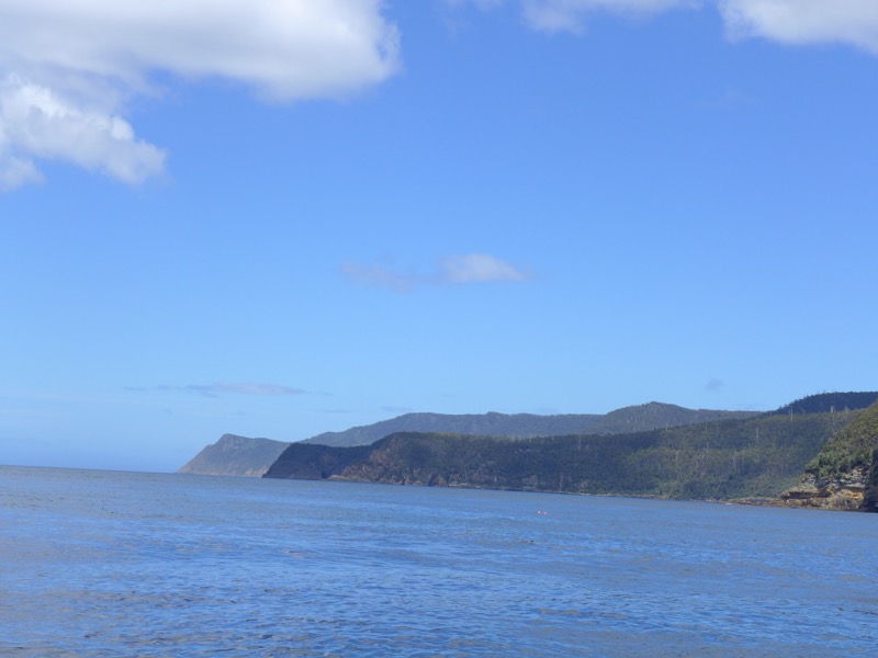
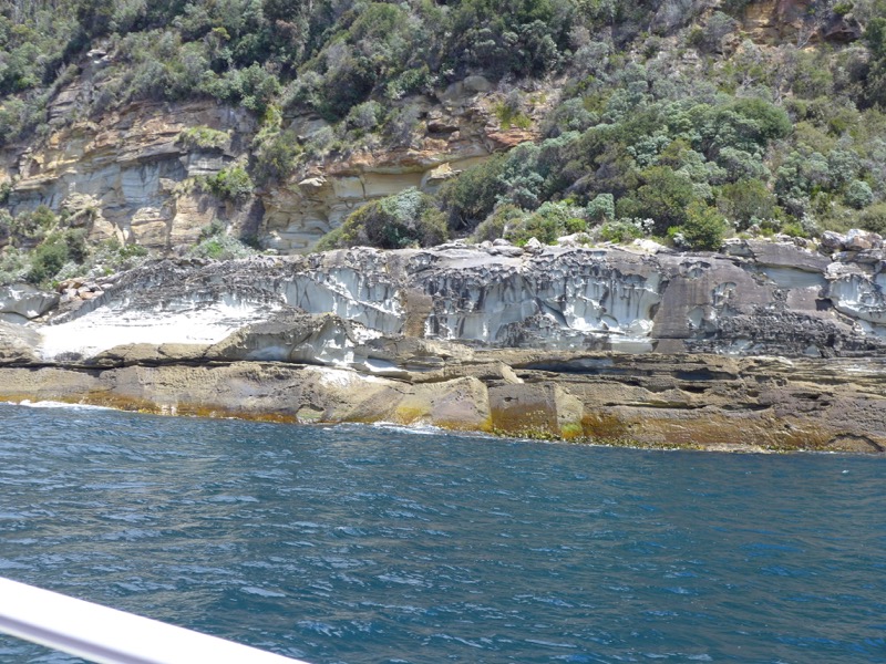
Really interesting cliffs along this portion.
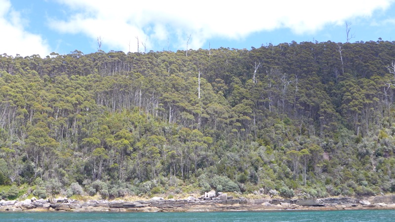
The tall dead trees poking up are the remnants of an old bushfire.
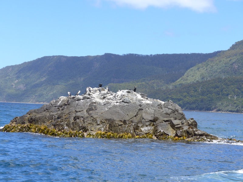
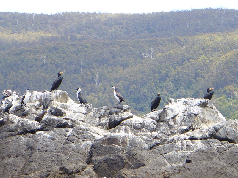
We saw lots of sea birds.
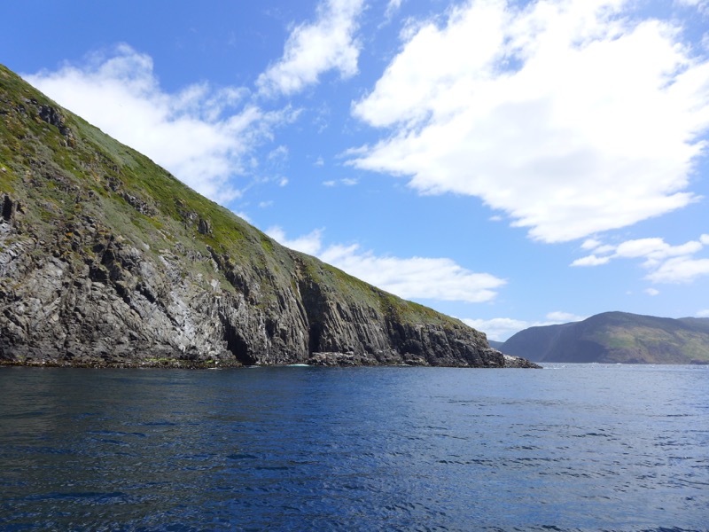
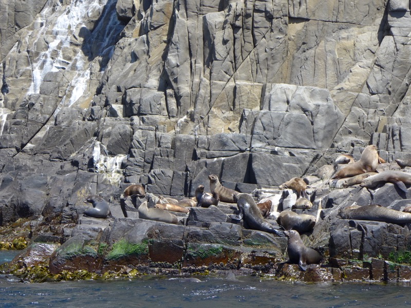
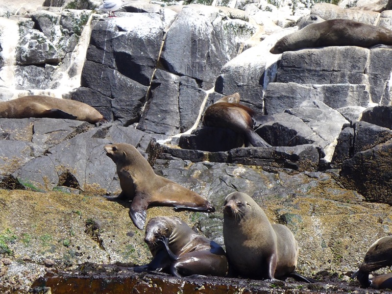
Finally we made it to The Friars, the rocks we’d glimpsed from East Cloudy Head the day before.
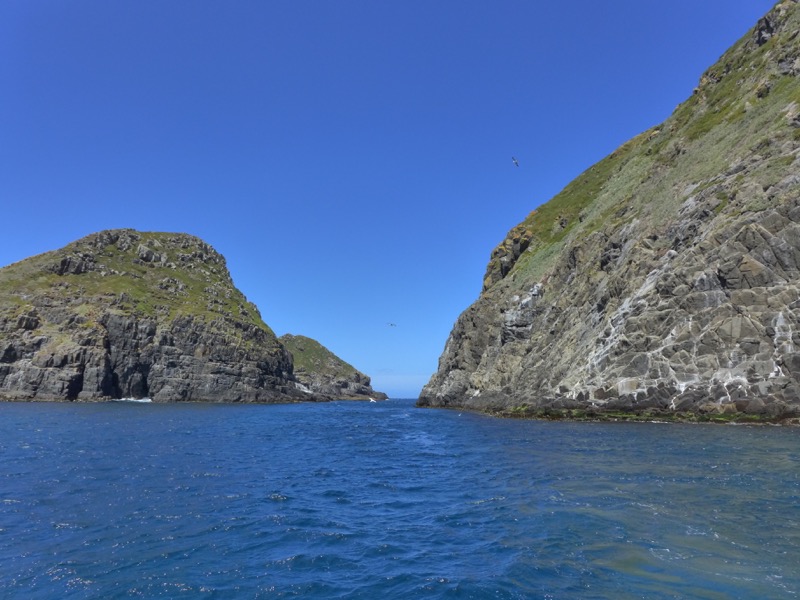
I’ll be honest – you can smell the fur seal colony before you even get there!
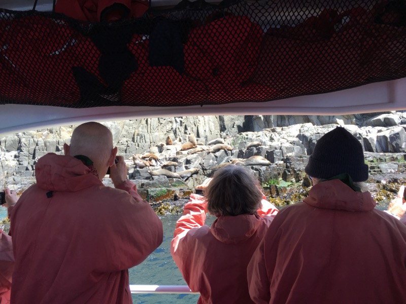
Everyone was entranced. We slowly cruised past in several directions so everyone could get photos.
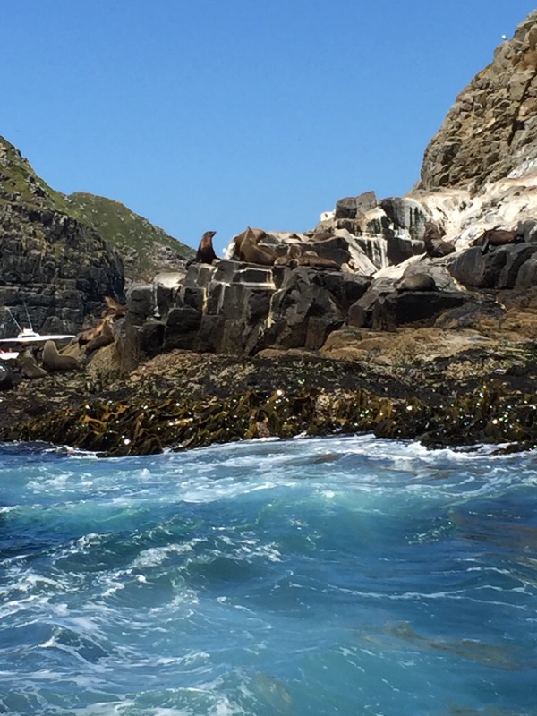
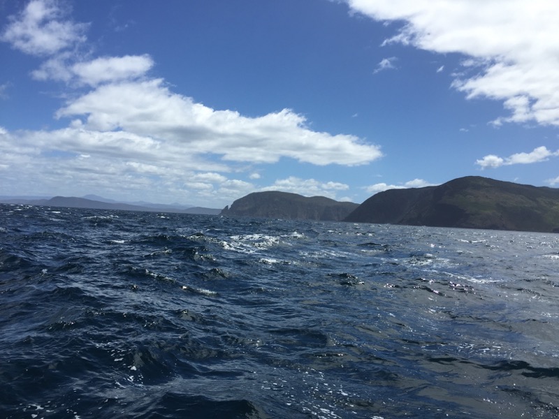
We left the Friars and turned north to head for home. Everyone was excited to get away from the coast and look for whales!
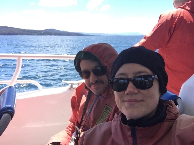
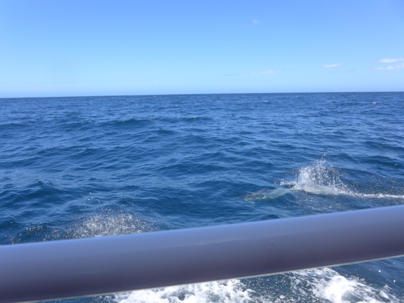
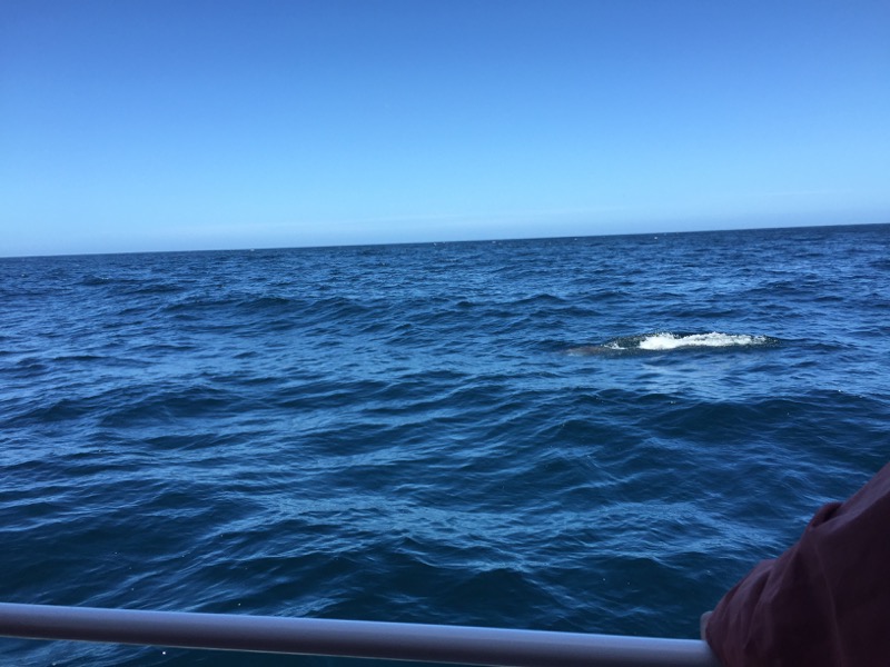
Rodd was one of the first people to spot a school of dolphins that came up to play in our wake. They were extremely difficult to photograph though! You can just spot them under the water there. Unfortunately that was as close as we came to a whale…
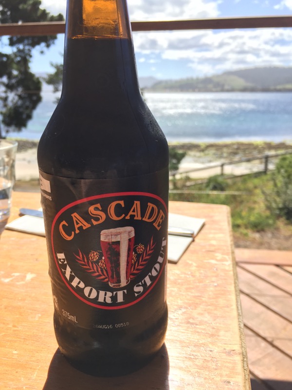
When the cruise was finished, we packed into the van and headed to our final destination at the far north of Bruny: the Jetty Cafe. We had a lovely late lunch and I couldn’t resist capping the weekend off with a local brew.
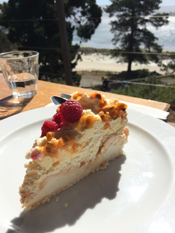
I never say no to pavlova.
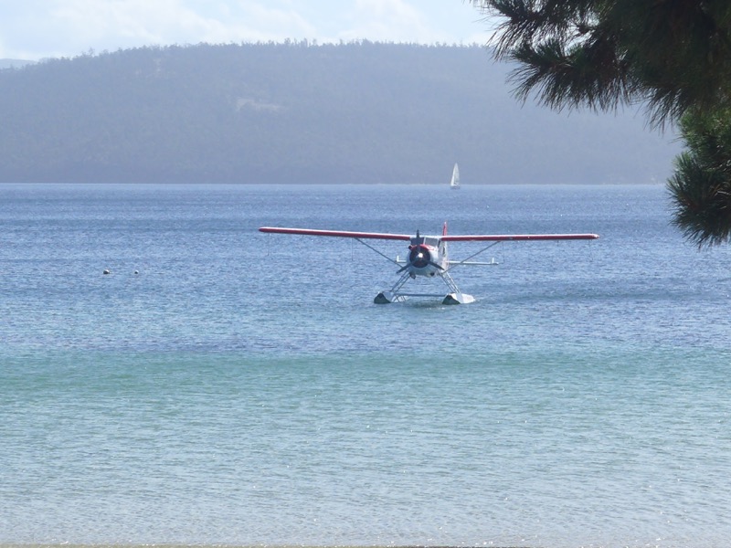
Right on schedule, our transport back to Hobart arrived! An actual seaplane from Tasmanian Air Adventures.
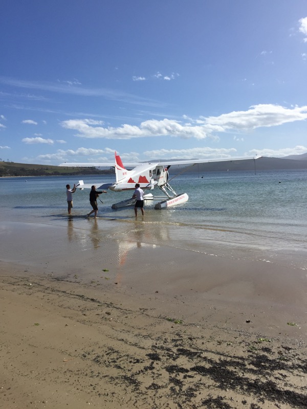
Rob and Ollie helped the pilot drag it up to the beach so our bags could get loaded on.
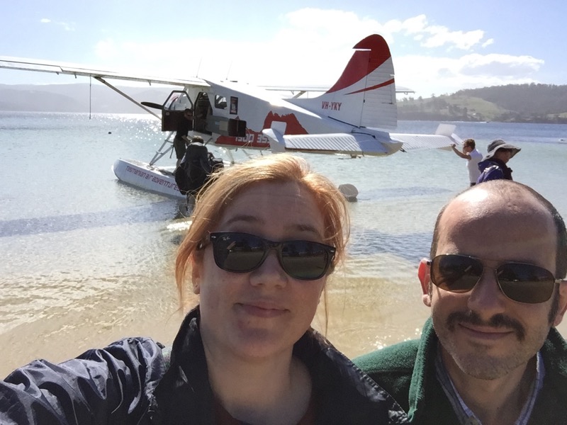
We were excited! Neither of us had ever flown in a seaplane before.
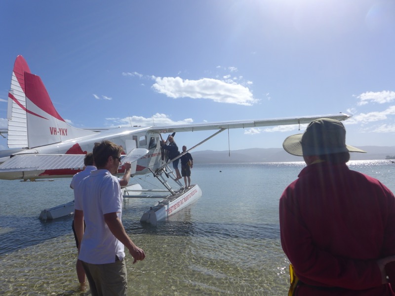
Not only that, but I was going to be sitting in the co-pilot’s seat! Here I am climbing into the plane.
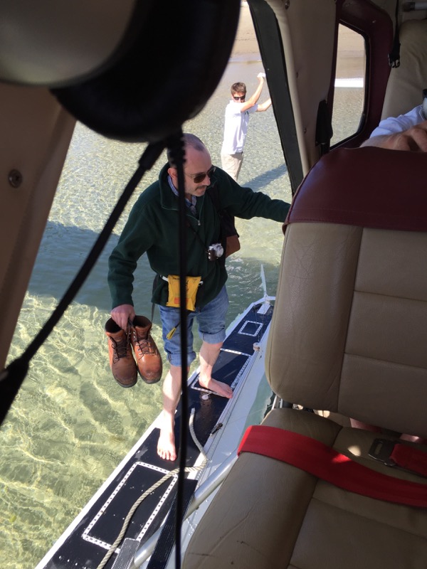
I turned back to get a shot of the Snook climbing on board. We had to take our shoes off and wade out onto the pontoons. It felt very Indiana Jones.
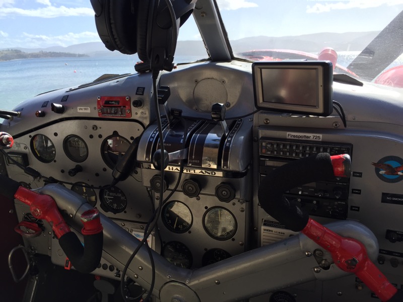
My view of the cockpit. The plane was an oldie, the pilot said, but in peak working order!
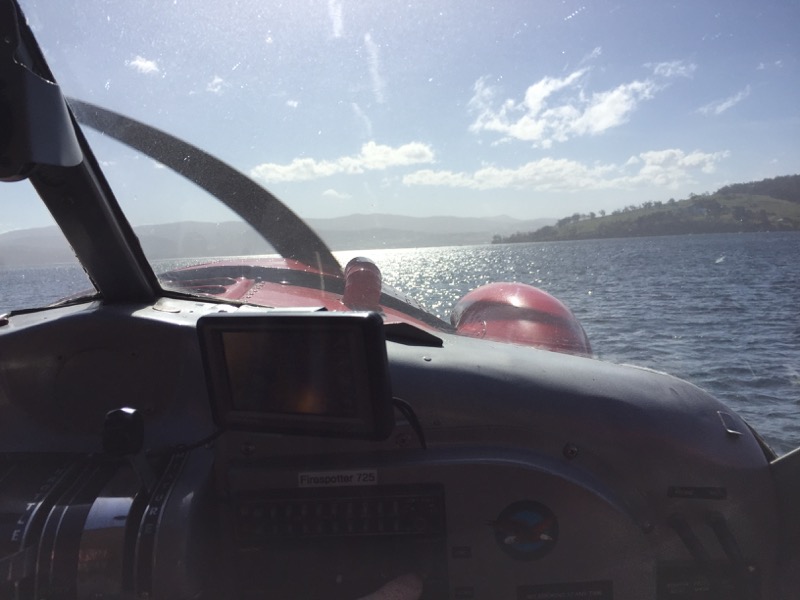
Spinning up the propeller. (Propellers do very funny things in digital cameras.)
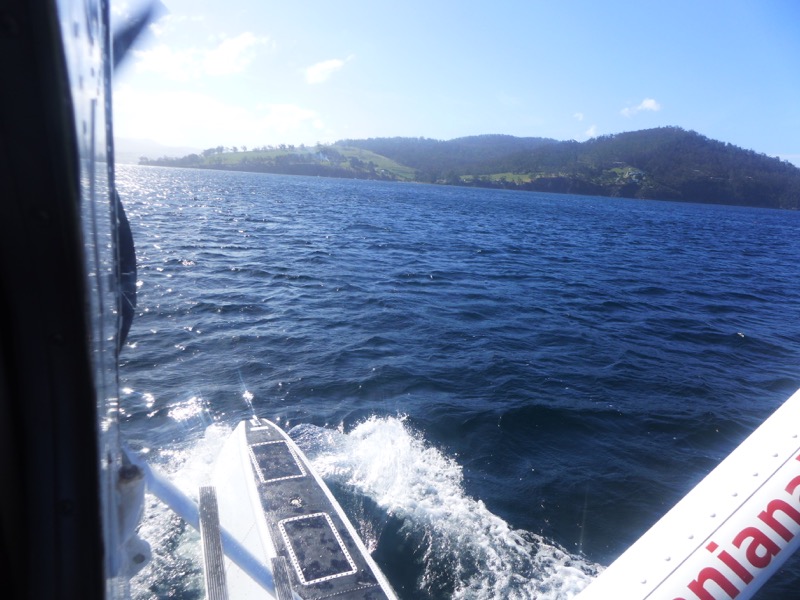
Here’s the Snook’s view as we started to speed up.
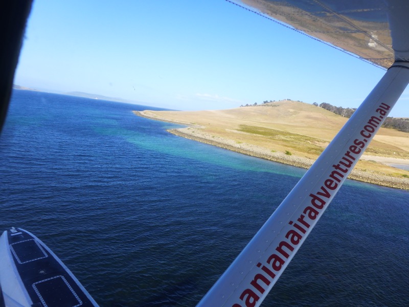
And we’re airborne!
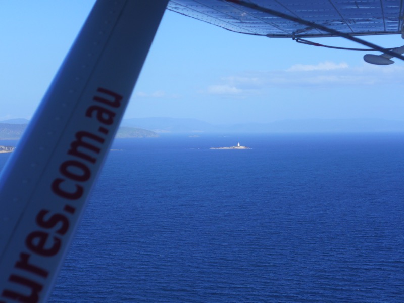
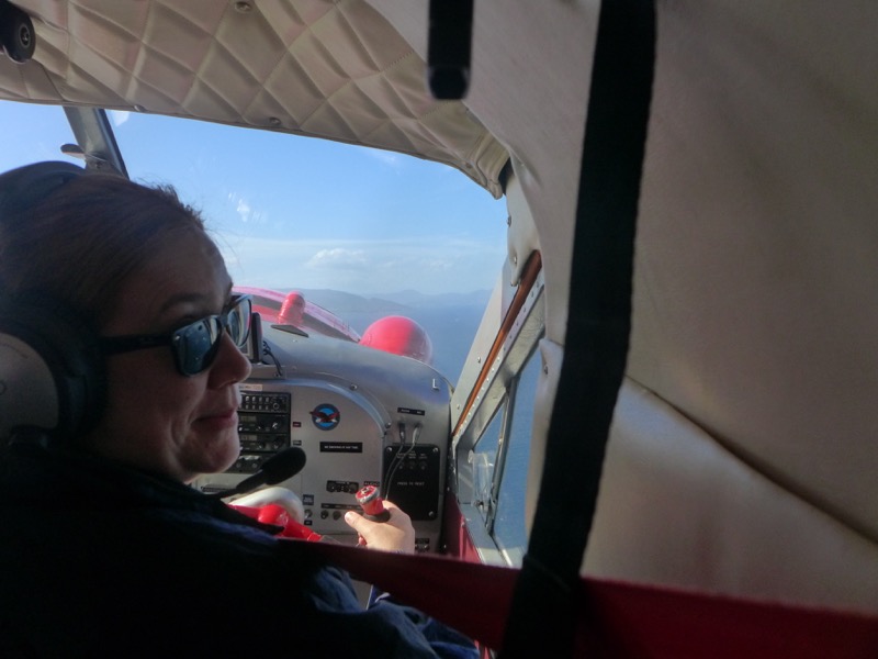
Here I am “flying” the seaplane. (In actuality I was afraid to touch the controls, as my steering wheel was connected to the real pilot’s!)
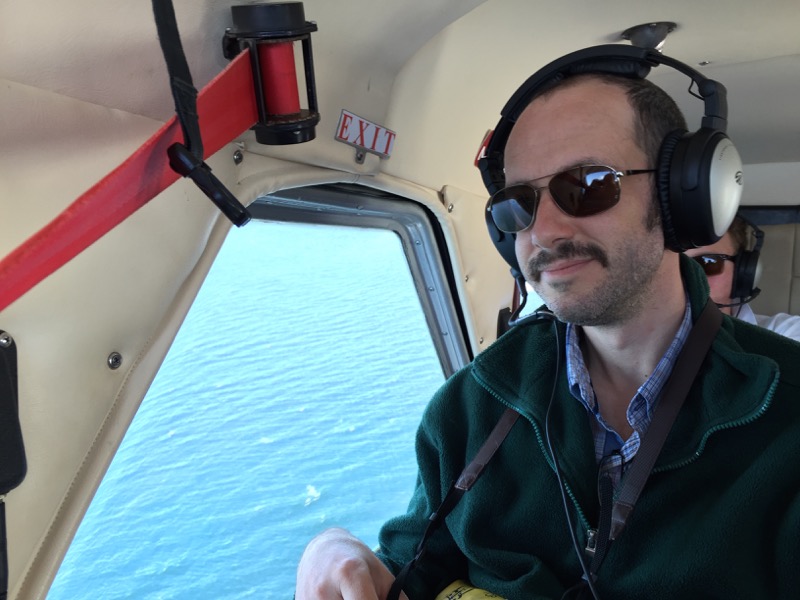
We all wore headphones so we could hear each other over the noise of the engine.
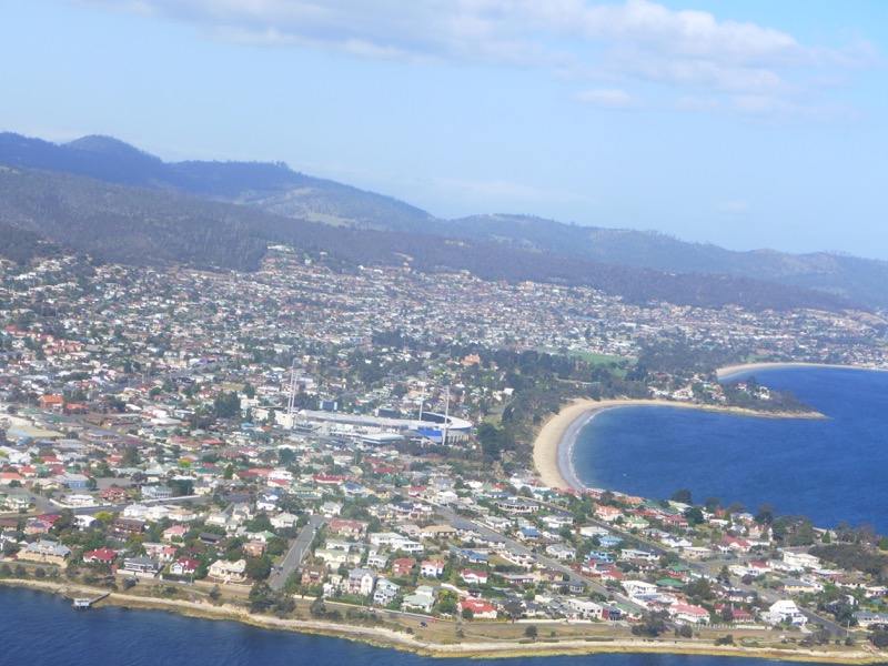
Bellerive Oval as seen from above.
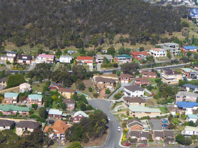
The Snook experimented with the tilt-shift mode on his camera. Little toy houses!
Edited to clarify: He says this isn’t tilt-shift at all! The houses really are that bright.
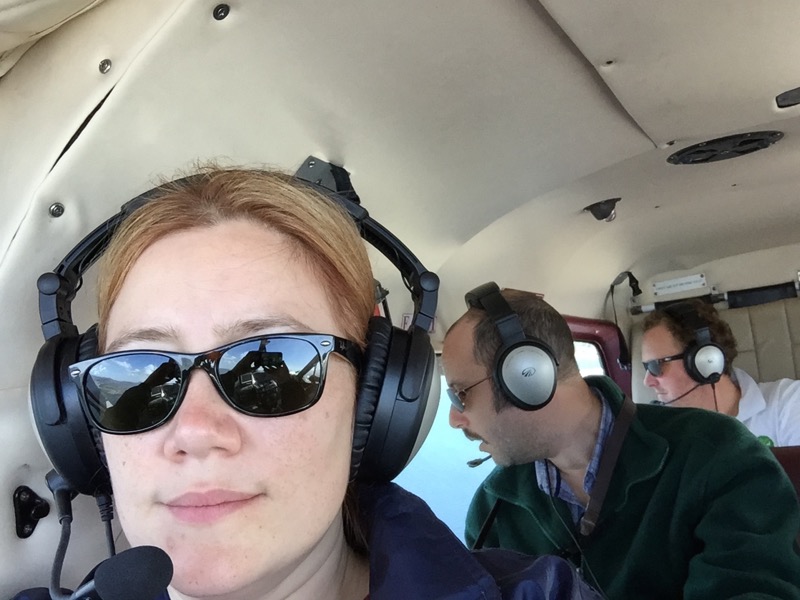
I like the look on Rodd’s face here.
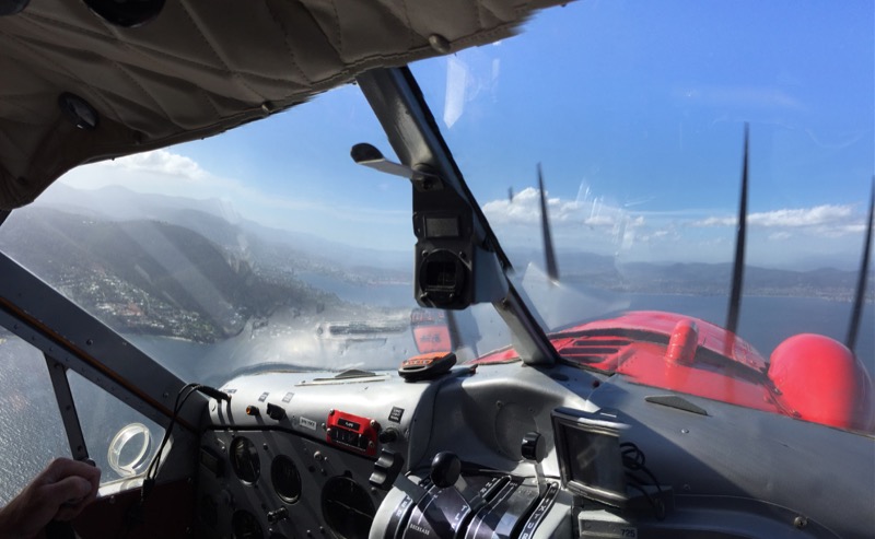
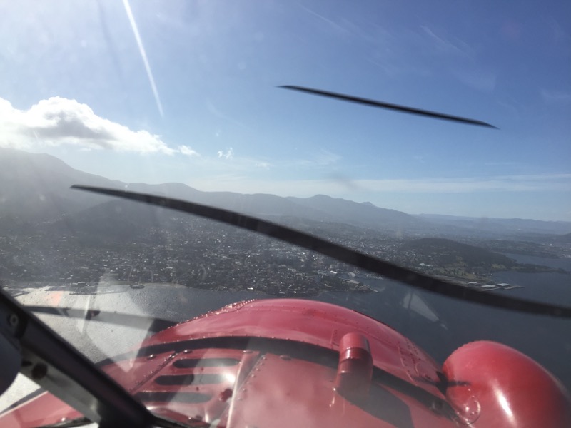
More weird propeller effects.
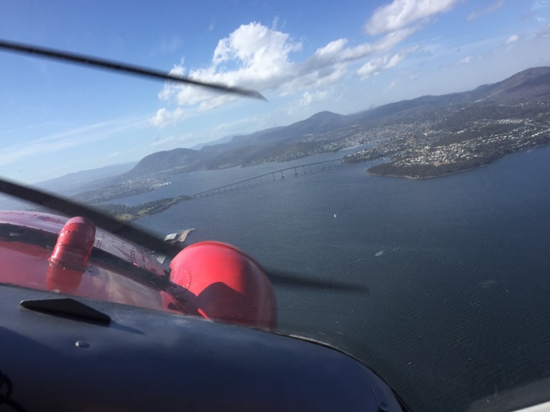
Oh hey, there’s the Tasman Bridge! We learned from Rob and Ollie about the terrible disaster in ’75 when a ship struck one of the pylons and collapsed the center portion of the deck.
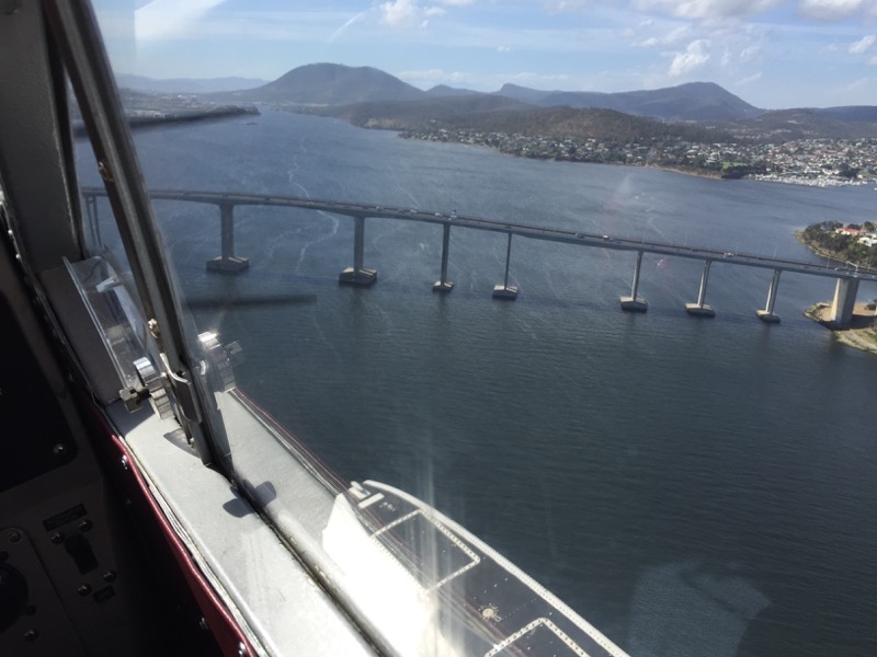
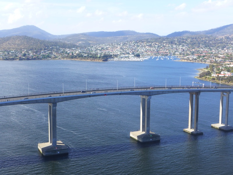
Twelve people died in the disaster. They rebuilt it and they’ve got more safety precautions in place now. Our taxi driver told us that they even stop traffic when boats are passing underneath, just in case.
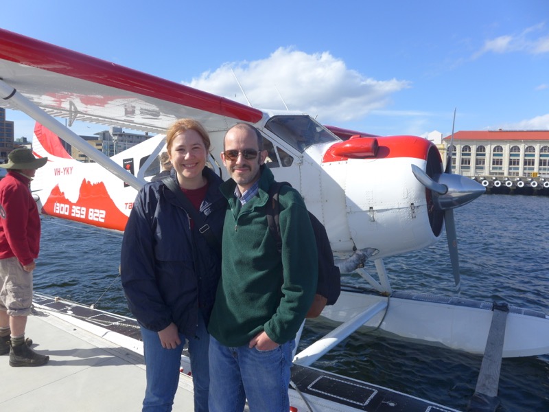
Here we are back in Hobart on Sunday night! The plane dropped us off right next to our hotel.
What a fantastic weekend. Seriously, I can’t recommend the Bruny Island Long Weekend enough. The guy who runs it, Rob, is a great bloke who knows Bruny like the back of his hand. He’s also a fantastic chef and host! What he’s created is unlike any other packaged tour that I’ve seen. I would do it again in a heartbeat.
We checked back in to the Grand Chancellor and decided to check out Salamanca for dinner. Frankly, the options weren’t very inspiring. We ended up just grabbing some pub food at the Squires Bounty.
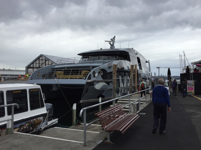
On Monday it was time to go to MONA. We started with a great breakfast at the Harbour Lights Cafe, right across the street from the MONA ferry wharf. I highly recommend pre-booking your tickets as you can just walk right on without queuing up.
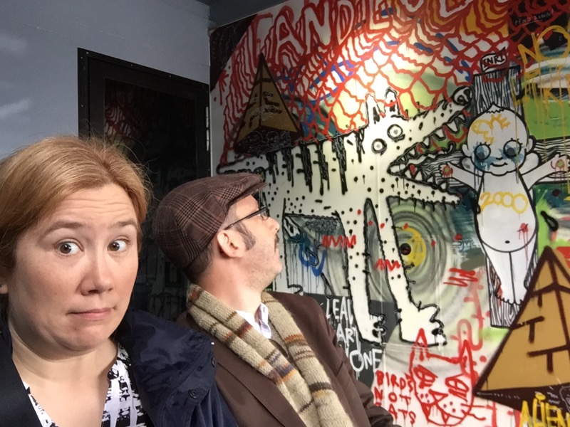
The ferry itself was pretty wacky. We didn’t spring for the “Posh Pit,” so our options were the back of the boat or upper deck. We started out at the back. The graffiti was fun.
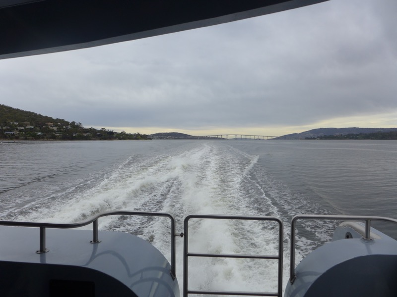
There’s the Tasman Bridge again, this time as seen off the back of the ferry.
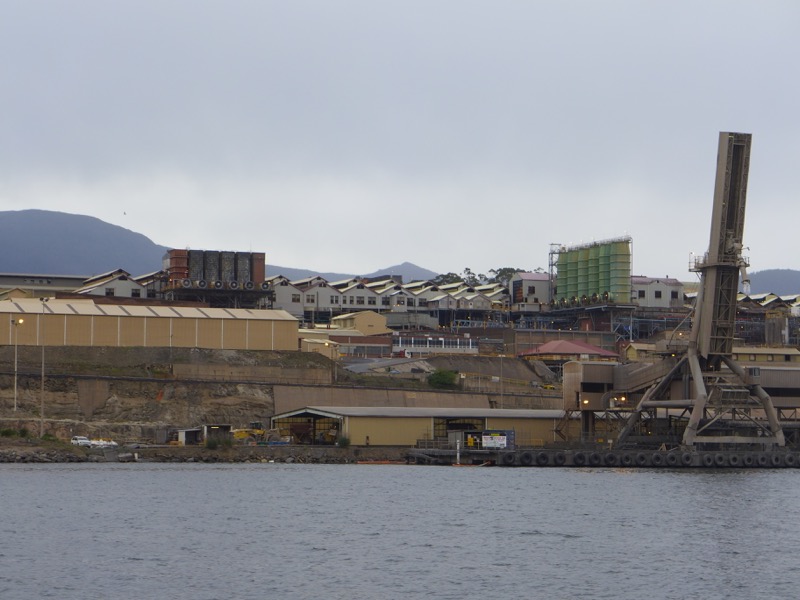
I will never get over Australian cities that have giant industrial complexes sitting in beautiful places. Here’s the Nyrstar Zinc Smelter right on the Derwent River in Hobart.
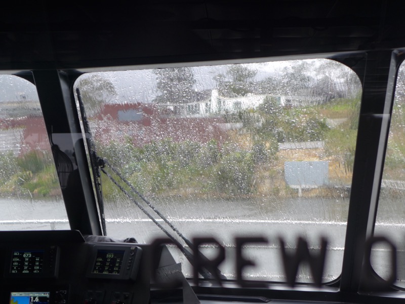
We went upstairs to peek at the captain as we approached MONA. Unfortunately it started to rain so we couldn’t see much. Oh, and they have statues of sheep upstairs that you can sit on.
We disembarked in the rain and quickly climbed the stairs up to the entrance. Again, prepaying will get you in much faster! In this museum, you start at the bottom so we took a lift all the way down. It was like descending into some supervillain’s underground lair. We picked up our “O devices” (so tomorrow) and went into the Matthew Barney exhibition.
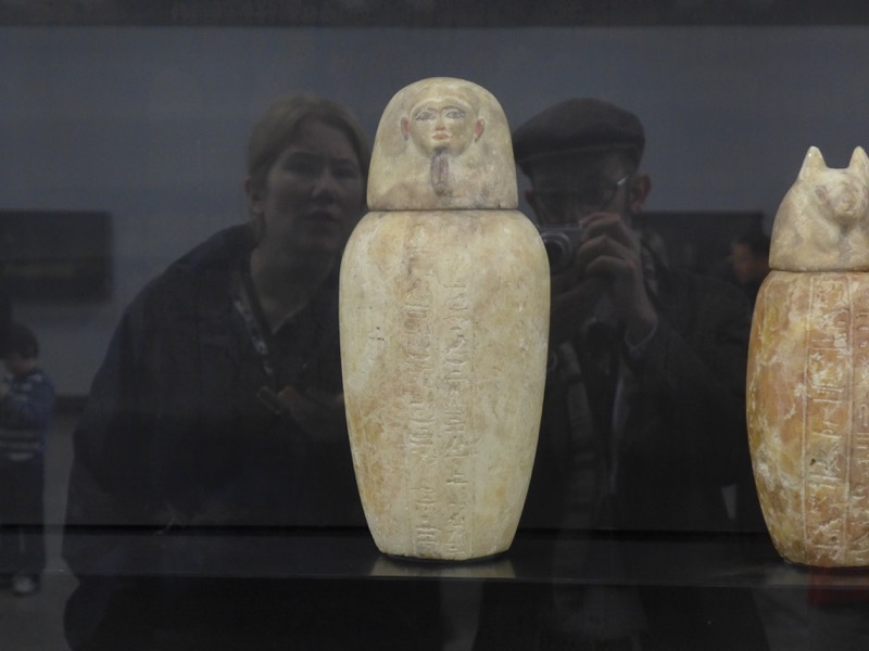
Look, we’re not really modern art connoisseurs. I didn’t know Matthew Barney before, and frankly much of the exhibit was bewildering to me. It was about a movie, that he made based on a book by Norman Mailer? And there was a lot of sex and death and Egyptian gods, but also somehow the Detroit motor industry? I coped by finding the small things that I liked. Egyptian funeral urns, for one.
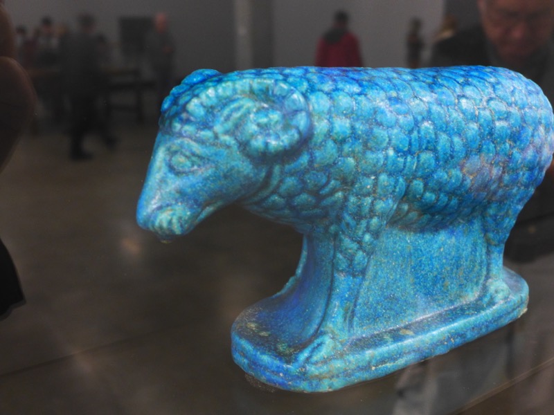
I also liked this little blue ram.
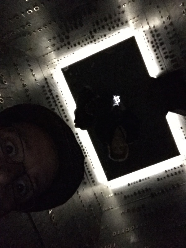

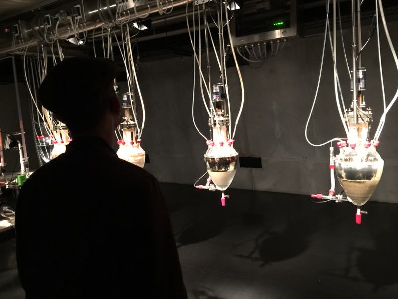
I didn’t take too many photos in the museum, mostly because I think it’s best if you go in as “unspoiled” as possible. Yes, some bits were confronting, but nothing that really jolted me too badly. The further I got, the more I started using the “hate” button on the O. I think that’s a good thing though; I started really questioning the pieces more than I usually do in a museum.
Some things that I loved: Saskia Olde Wolbers’s film Placebo; Candice Breitz’s Queen: A Portrait of Madonna; Zhang Huan’s Berlin Buddha; and the TOILETS. (Seriously, MONA has the most amazing bathrooms I’ve ever seen in my life. You’ll see.)
Some things that I hated: Meghan Boody’s The Mice and Me (*shudder*); Tessa Farmer’s The Fairy Horde and the Hedgehog Host (nightmare fuel); Zizi the Affectionate Couch (mutant tribble furniture); and Yves Netzhammer’s The Subjectivisation of Repetitiveness (boring and inexplicable).
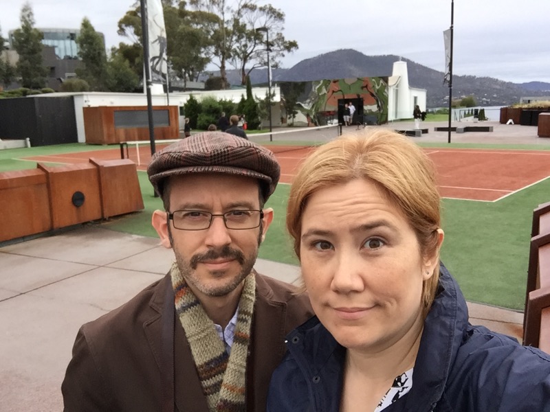
The tennis court at the entrance (on top of the building) isn’t actually art. David Walsh just really likes playing tennis, apparently.
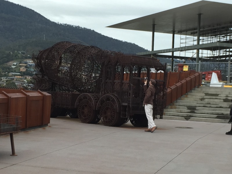
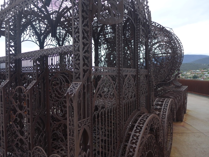
The Snook really liked this ornate metal truck outside.

Back in Hobart, we managed to score a table at Frank Restaurant and Bar for our final dinner. Rob had recommended this place as the current “IT” restaurant in the city. It didn’t disappoint! The portions were small, but everything was really tasty. We had sopaipillas, empanadas, ceviche, sweet potato with goat’s cheese, and a big ol’ rump steak. For dessert, I had the cornbread and ice cream while the Snook opted for hte chocolate “Nemesis cake”. This place is definitely worth a stop, but be prepared to pay a fair bit.
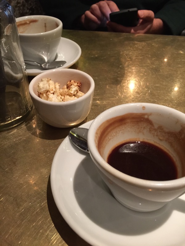
It was time to get out of Hobart. Unfortunately a cruise load of tourists had taken all the cars at Avis, so we had some time to kill before ours could be brought over from the airport. So we made our way to Pilgrim Coffee for breakfast… and there we found a winner for the Most Hipster Place in Hobart! They served us a breakfast amuse bouche of spiced popcorn. It was good, but weird.

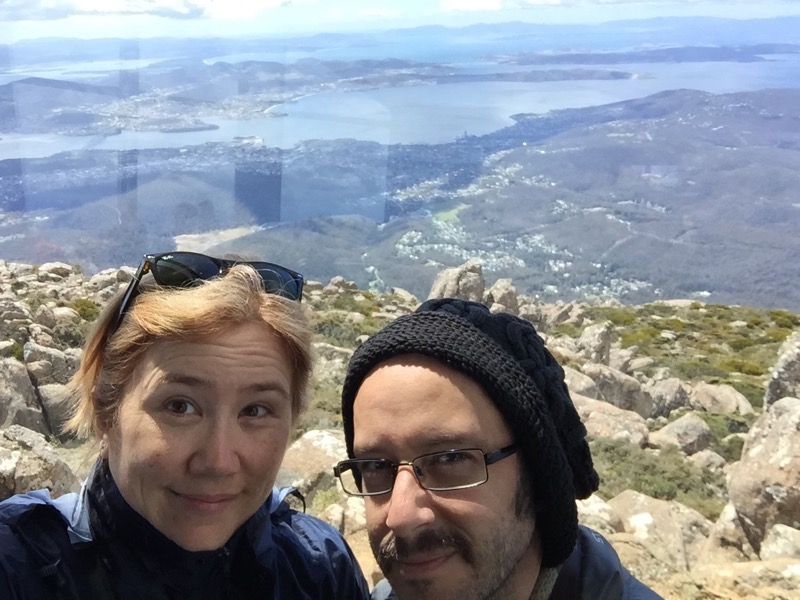
After we got the car, we decided to make an unplanned side trip up Mount Wellington. My friend Richard had recommended it, and since the day was clear it seemed like a good idea. Well, it was and it wasn’t. The scenery and view were AMAZING. But OHMYGOD IT WAS SO COLD AND WINDY.
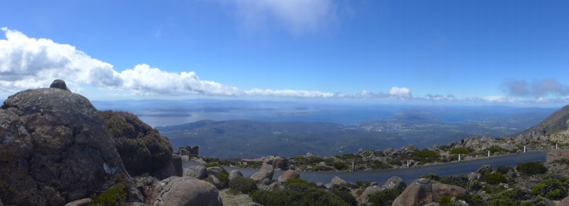
You could see all the way to Bruny.

I’m not kidding; it was actually hard to stand up against the wind. SO COLD.
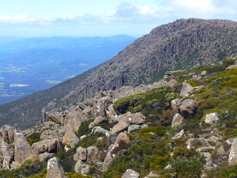

We braced ourself and headed to the enclosed lookout. Ahhhh, much better.

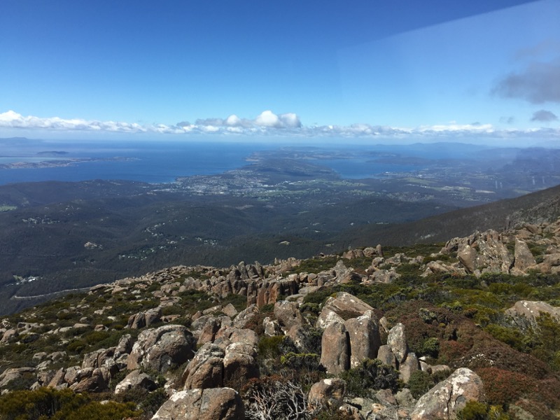
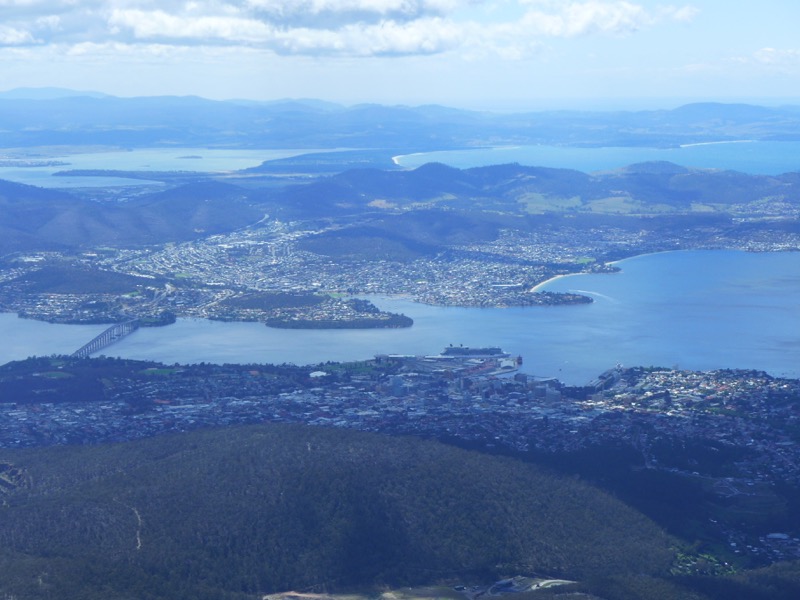
Another view of the Tasman Bridge, from very far away and very high up!
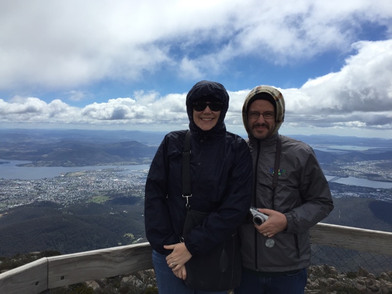
A walkway from the enclosed lookout leads to some outdoor viewing platforms. Thankfully they were more sheltered by the mountain and not so freezing.

Snookums with the Derwent River below. I took a timelapse video of the sky moving above his head.
Then it was time to get moving. Our destination was Queenstown, 260km away. After a couple hours of driving through mountain wilderness, we spotted a sign for a town called Tarraleah and thought it was a good place to stop for lunch. Instead we found something fascinating.
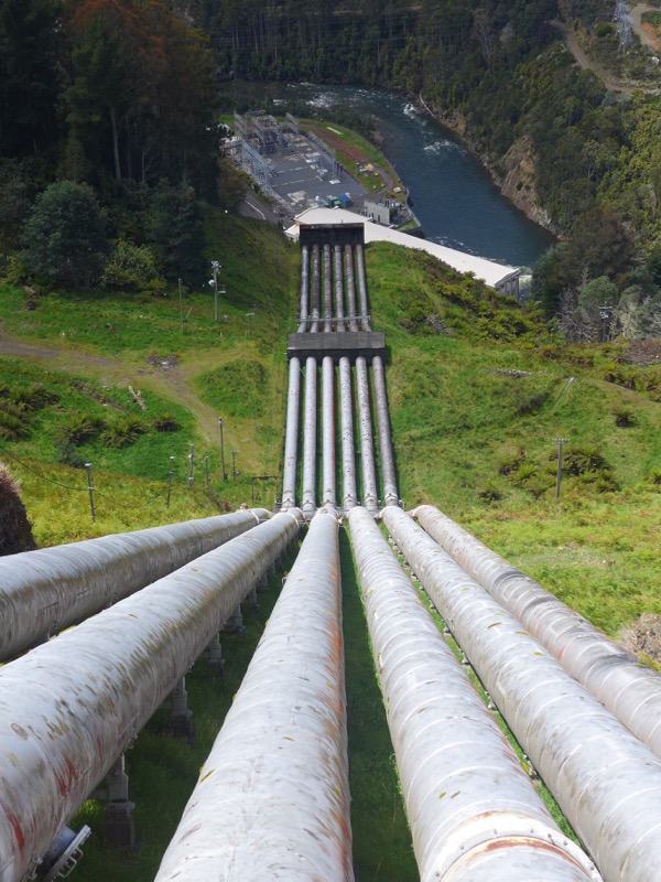
It turns out that the alpine lakes of this region made it a prime location for hydroelectric power stations!
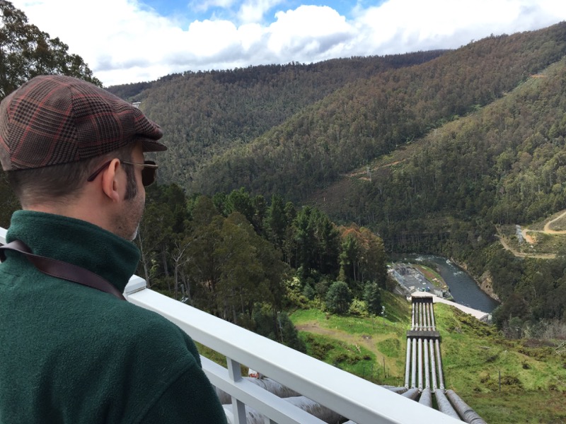
This lookout was very cool. We discovered that Tarraleah was essentially built to house the engineers and management of the power station.
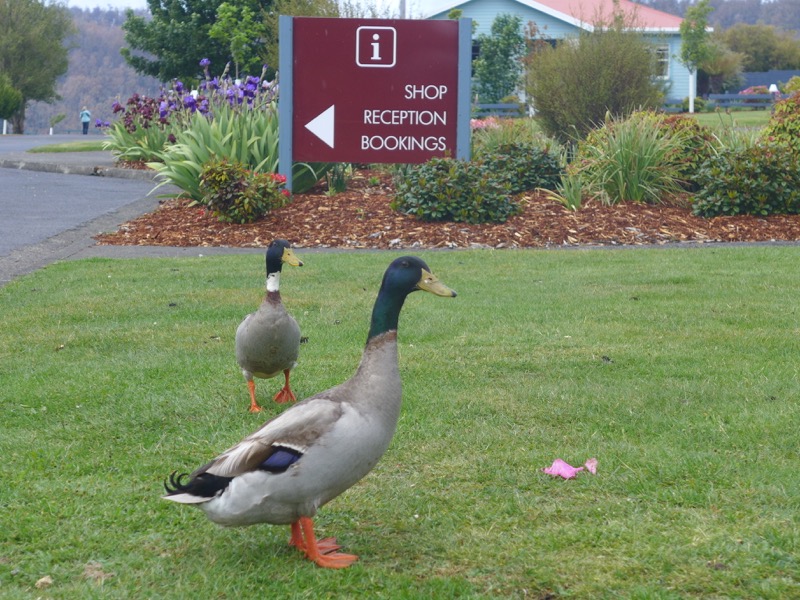
It was only when we got to the little cafe in town that we discovered Tarraleah isn’t a town anymore at all. All of it – the cute little cottages, the well manicured lawns – is now owned by a private company as a tourist destination! It was like being in the town from The Truman Show. These ducks are basically the only permanent inhabitants. Very cool, if a little Twilight Zone…
After Tarraleah we continued on to Queenstown. The Snook snapped some photos as we went.


We had been told that coming into Queenstown was like driving on the surface of the moon, that the hills have been so stripped of trees and polluted by mining that nothing will grow. Honestly, it wasn’t that bad. Yeah, the road into town is kinda bleak, and a lot of the houses in town seemed to be abandoned shacks. (We found out later that the closing of the mines meant that a significant portion of the population left.) But some parts of Queenstown were still charming.

Like our accommodation at the Penghana Bed and Breakfast. This amazing mansion was built for the General Manager of Mt Lyell Mining and Railway Company in 1898 atop a ridge overlooking the town. We stayed in The Owen master suite.

The view out our window was spectacular.

I quite liked this patchwork quilt hanging in the stairwell. It had been made from neckties of men who worked in the area.

Dinner options in Queenstown are rather limited, and to our surprise the highest rated restaurant on Trip Advisor (Maloney’s Restaurant at the motel) was fully booked! So instead we headed to the only pub in town, the historic Empire Hotel, where I had a truly excellent chicken parmigiana.

And hey, Alfred Deakin (Australia’s 2nd Prime Minister) once ate here!

Country pubs make the Snook contemplative. Or maybe he was just full of chickie-chickie-parm-parm.

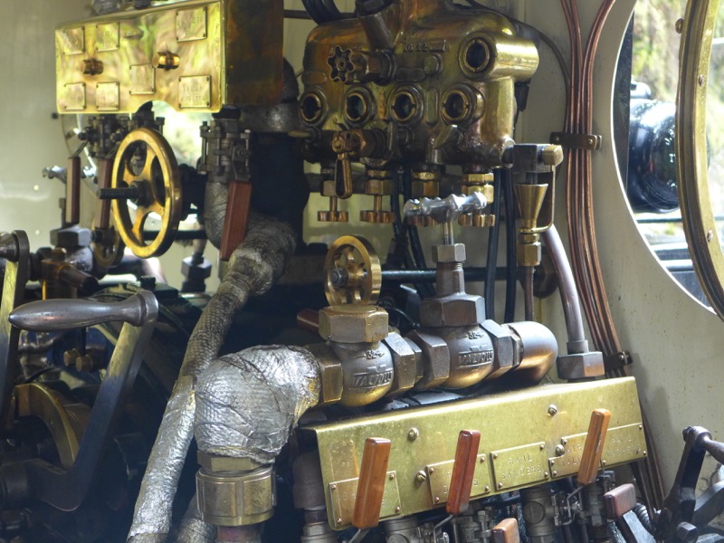
The next morning we breakfasted at Penghana and then headed to the West Coast Wilderness Rail for the “Rack & Gorge” trip to Dubbil Barrel and back. I loved that the driver of our steam train was a lady!


The train cars weren’t original, we found out, but instead painstakingly rebuilt to match the old ones. There were only two cars, and since we didn’t spring for first class we were in the normal one right behind the engine. (First class had tables.)

Map of our journey. While the trip goes all the way to Strahan in summer, we were only going to Dubbil Barrel and back. See that elevation chart in the corner? Yeah, the steep bit is 1:15. That’s nuts.

Our first stop was Lynchford, where we panned for gold. These are the bags of rocks waiting to be examined. (One girl in the group found a small nugget that was apparently worth about $50. We didn’t find any in ours.)


The train takes frequent stops so it can take on more water. (It uses a lot of steam climbing that hill!)

The King River is “arguably Australia’s most polluted river.” A sign nearby said that environmentalists reckoned it would take 1000 years to recover from the damage caused by mining. (To be fair, our guide was a local and he said it won’t take nearly that long. It’s apparently already starting to see improvement.)

Rinadeena Saddle was pretty much the very top of the steep bit. We walked up to a footbridge to watch the train getting refilled. I made a timelapse video.

The Snook played some more with his tilt-shift mode.
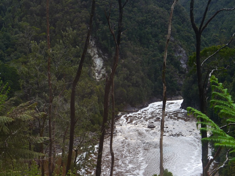


We crossed the King River several times. The final stop was Dubbil Barril, where they had a nice walkway along the river.
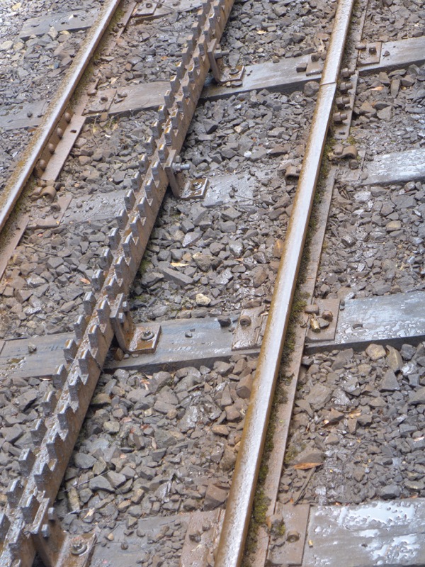
This is the rack and pinion system that the train uses to climb the hills.
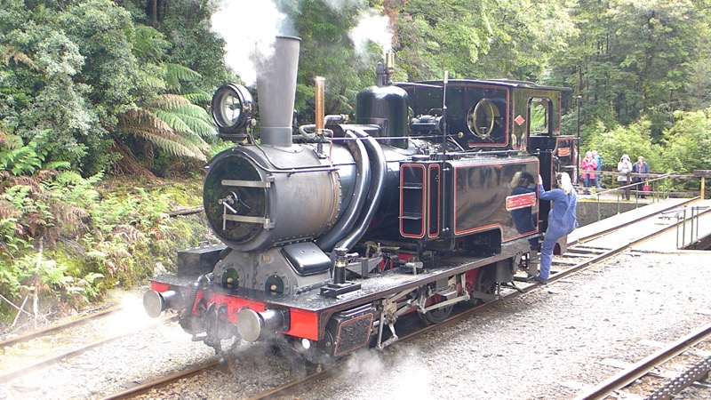
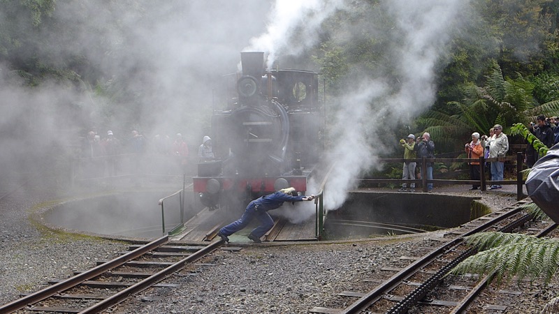
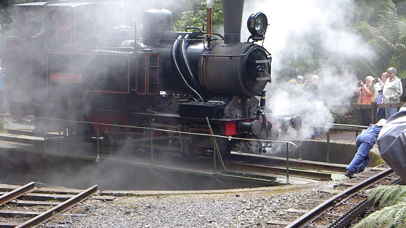
Since this was the final stop, the engineer had to turn the locomotive around. They had a big turntable, and they were able to rotate it with just two people!
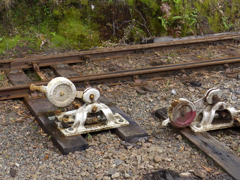
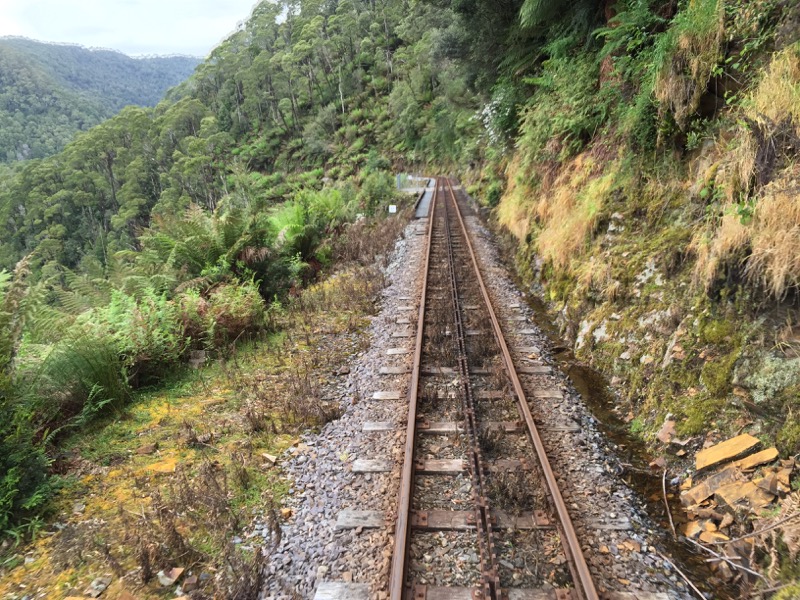
Since the engine got turned around, when it was reconnected our car ended up at the end of the train. So we were able to get some great shots out the back door on the return trip.
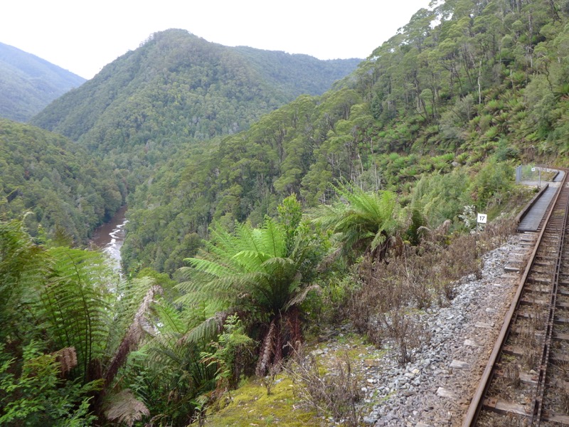
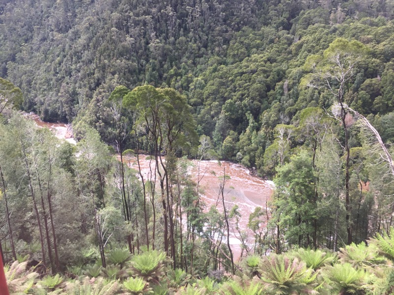
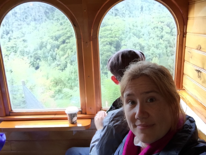
We got lots of great photos of the King River Gorge.
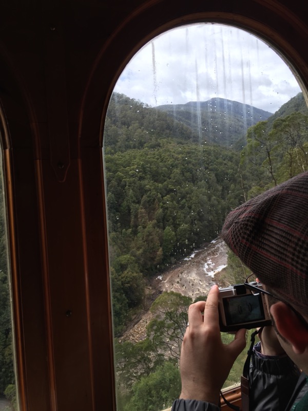

Amazing scenery, even with the rain.
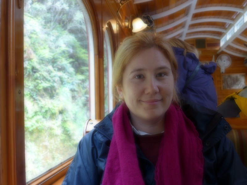
He takes the weirdest photos of me.
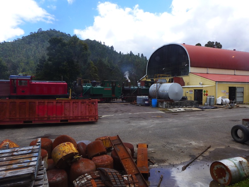
As we got back to Queenstown, we got the special treat of seeing one of the other locomotives. (There are only a few left.)
After the train trip, we had a quick lunch at Cafe Serenade in Queenstown. Not bad! My chocolate milkshake was a highlight.
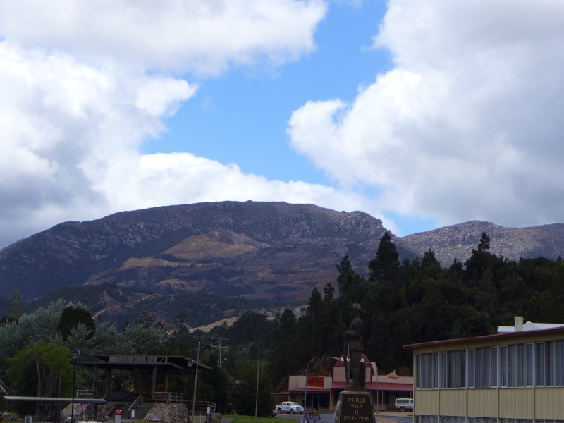
The Snook took one last photo of the hills around Queenstown as we headed out of town…
We left Queenstown and headed north to Stanley. I had picked that town on a whim when I discovered it had a famous local landmark called “The Nut“. How could you resist an evocative place name like that? The Nut is a volcanic plug on the end of a small peninsula on the north cost of Tasmania. The town of Stanley is nestled at its base.
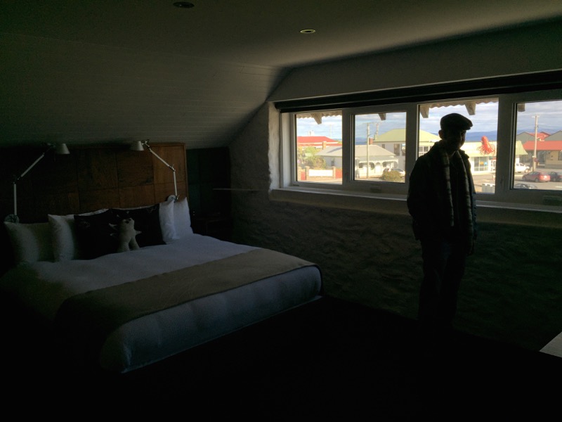
We stayed at the VDL Stanley, which was FANTASTIC. It was actually the old Van Dieman’s Land Company Store and it’s right down at the water’s edge. It has three suites all kitted out in hipster luxury.
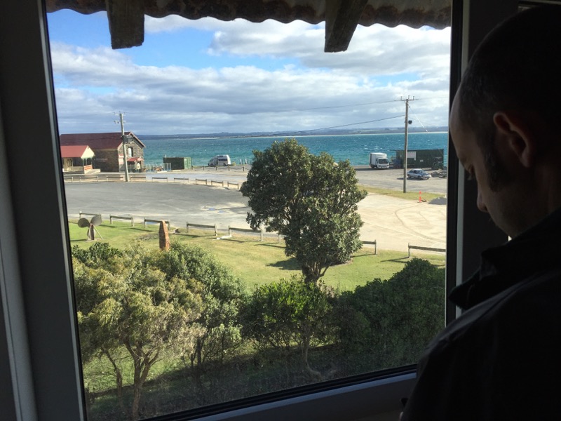
The view from our room was spectacular. After we were settled, we walked up the hill to the center of the village for dinner.
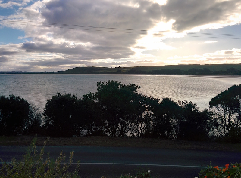
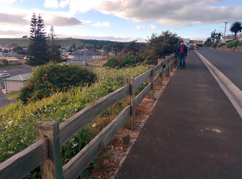
We found out that a major Hollywood film production had been in town the week before! If we’d been a week earlier, we could’ve ran into Michael Fassbinder and Rachel Weisz on the street.
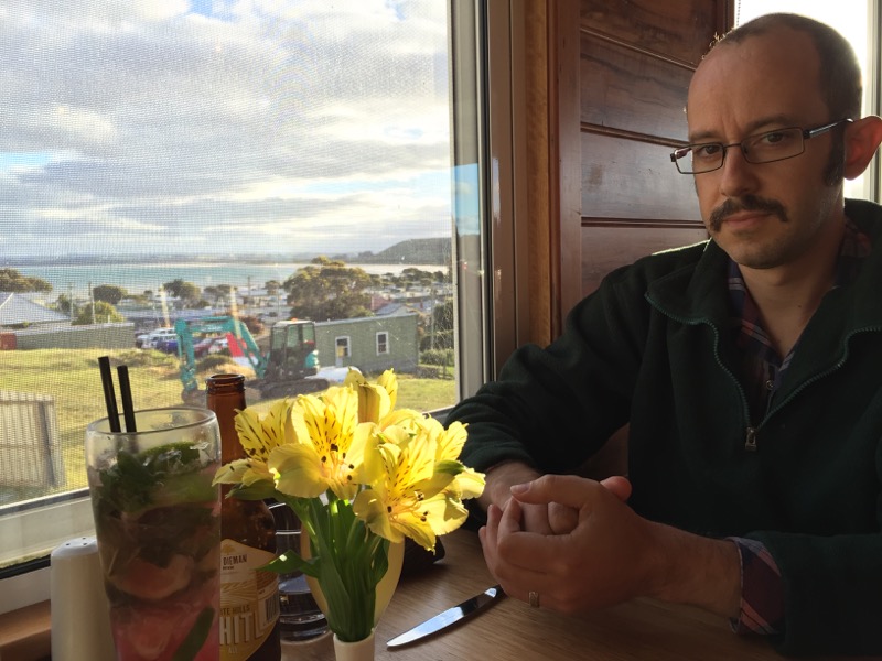
We had taken the advice of the hotel website and had them book us a table at Xanders Brassierie. The place was full of locals, and I think our server might have been the actual owner? We were charmed. It was charming.

I nearly fell over when I saw Biscuits & Gravy on the menu. Apparently the owner has an American friend who was staying with him, and she lamented not having had biscuits and gravy in a long time. So he looked it up on the Internet and had them make it as a treat for her. So of course I had to order it. He asked my honest opinion, and I told him that it was delicious and clearly they had used top notch ingredients… which isn’t really the spirit of biscuits and gravy. His version was gourmet, and it was great. But my grandma wouldn’t have recognised it! 🙂
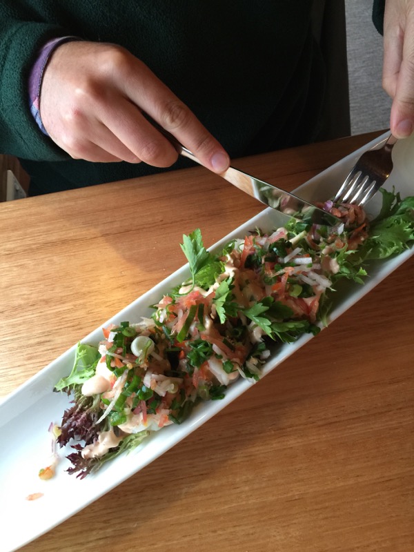
The Snook went retro with his entree, the Escoffier Prawn Cocktail. He shared some with me and it was terrific. Really fresh and crisp and beautiful.
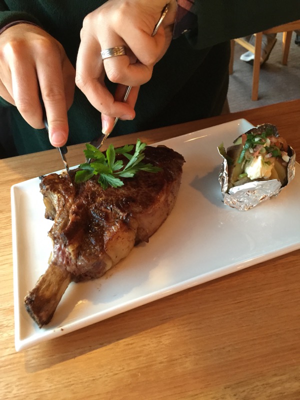
For our main, we shared a giant ribeye. The beef was local, and it was cooked to perfection. Very, very good.
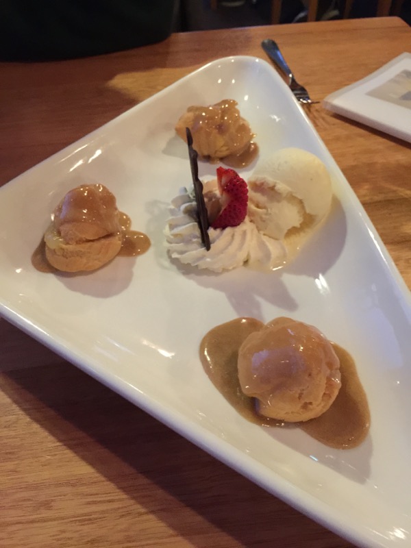
We also shared a simple dessert of profiteroles and ice cream. (We had a croquembouche for our wedding reception.)
The next morning was Thanksgiving Day. We got up very early and drove southwest to Arthur River, a tiny township on the northwest coast of Tasmania. We had some time to kill, so we followed some tourist signs to a scenic lookout.
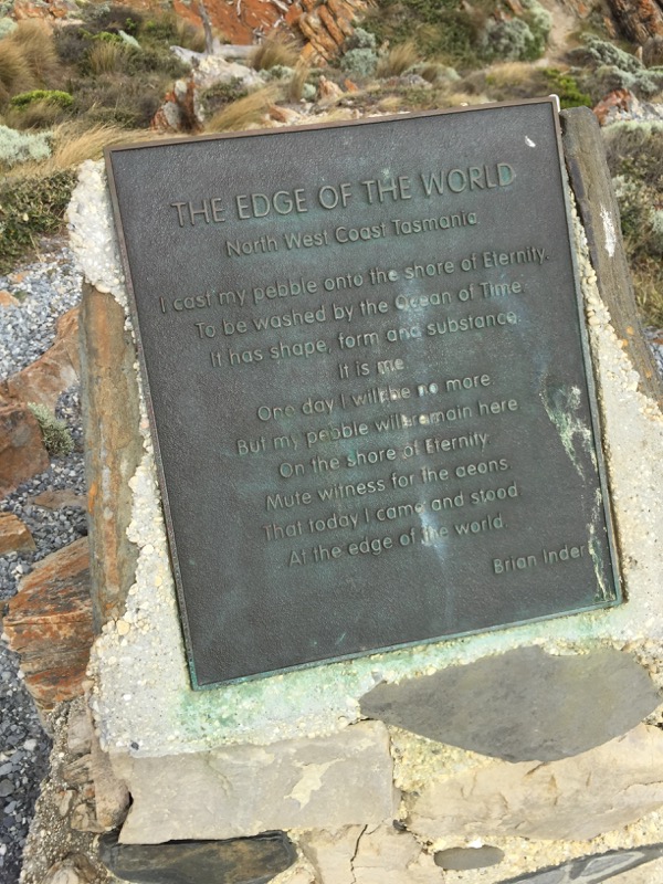
It was stunning. There was a plaque there with a poem titled “The Edge of the World” by Brian Inder.
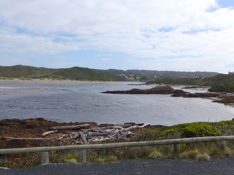

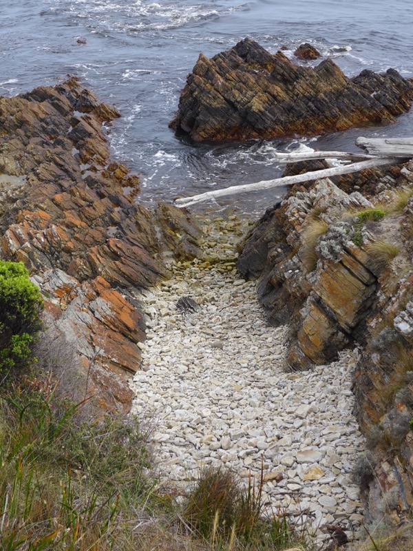
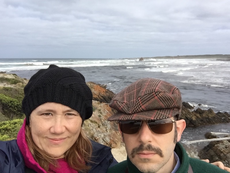
We also went searching for a cup of coffee. Unfortunately Arthur River is very, VERY small and the only place was the local general store, which had nothing but instant. Ugh.
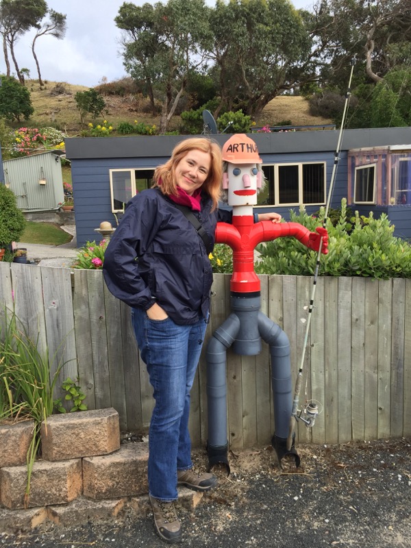
They made up for it with their awesome sculpture of “Arthur” though.
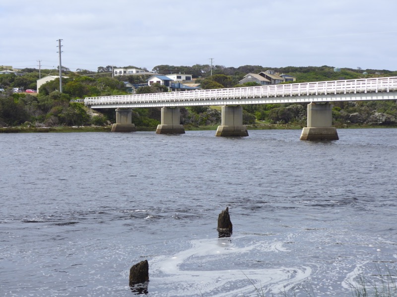
The two halves of the town are joined by this single-lane bridge across the mouth of the river.
This was our destination: the M.V. George Robinson. We were going on a river cruise!
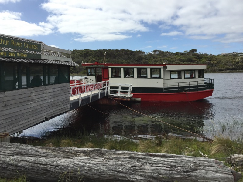
The boat was very cute. I think there were about ten passengers all up on the day, along with our two guides.
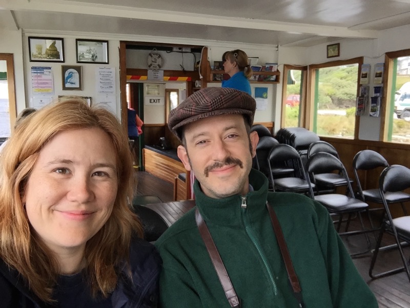
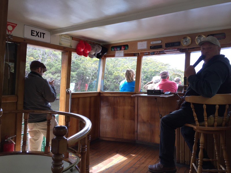
There were chairs inside as well as out in the open on the bow. (Also a toilet downstairs!) Captain Keith told us all about the various types of rainforest we’d be traveling through as we slowly chugged up the Arthur River into the Tarkine.
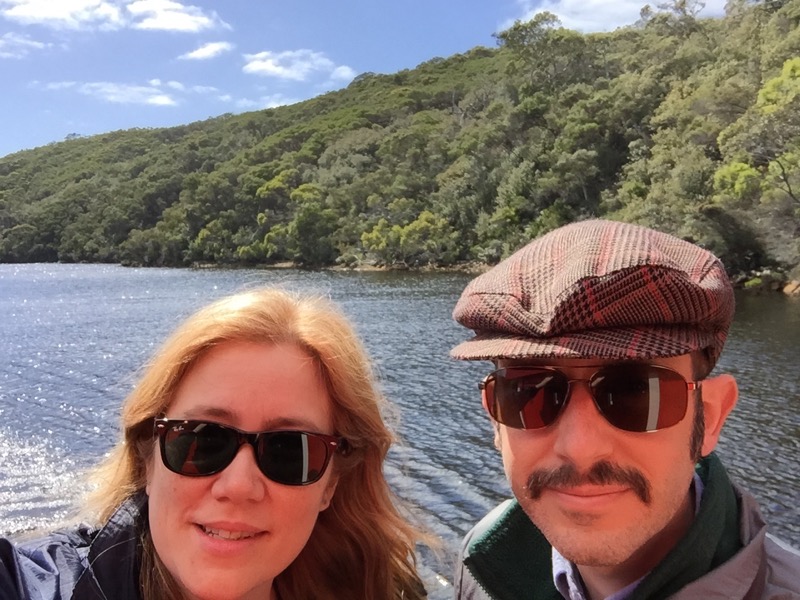
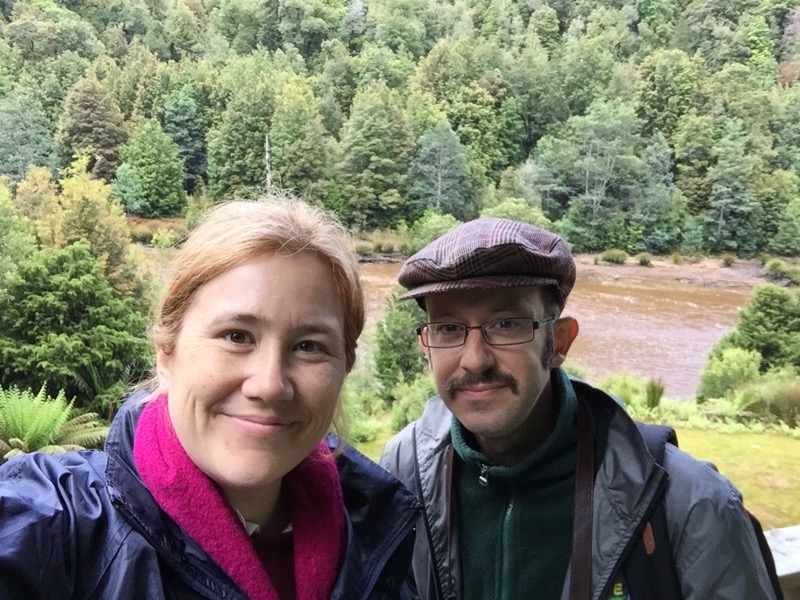
River selfie. We didn’t see a single other boat or person on the river that day. It’s very protected.
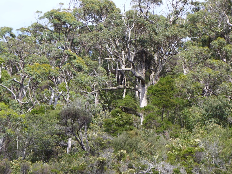
This is a white-breasted sea eagle’s nest! The thing was huge, and according to Captain Keith it had been reused over many years. We couldn’t find the eagles… yet.
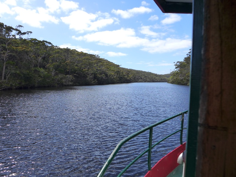
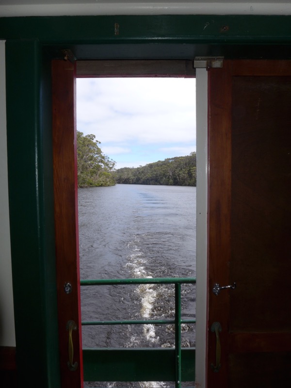
A shot of our wake through the back door of the passenger cabin.
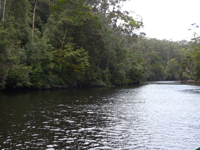
We made our way about 15km up the river, basically until we reached a point where we couldn’t go any further. And there we disembarked at Turk’s Landing!
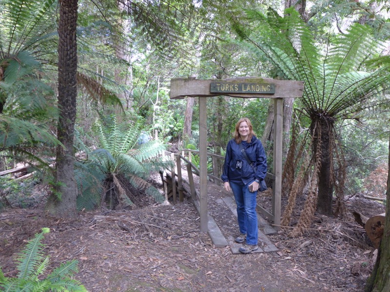
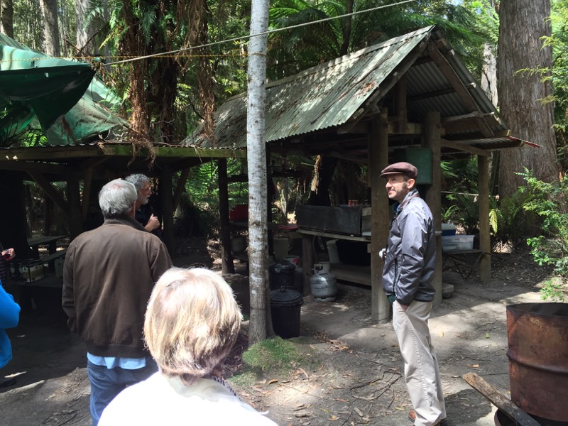
Turk Porteous was the man who started the cruise by building the boat and clearing the landing. It was basically an shady area of picnic tables around a small barbecue/kitchen.
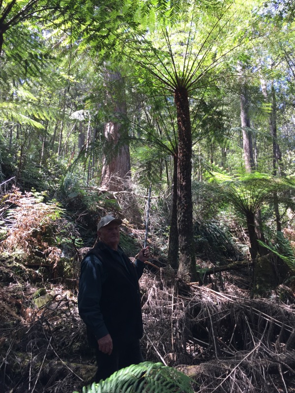
Captain Keith led us on a short rainforest bushwalk while our lunch was being prepared. He told us that you can gauge the age of these palms by how tall they are. This one he reckoned was several hundred years old.
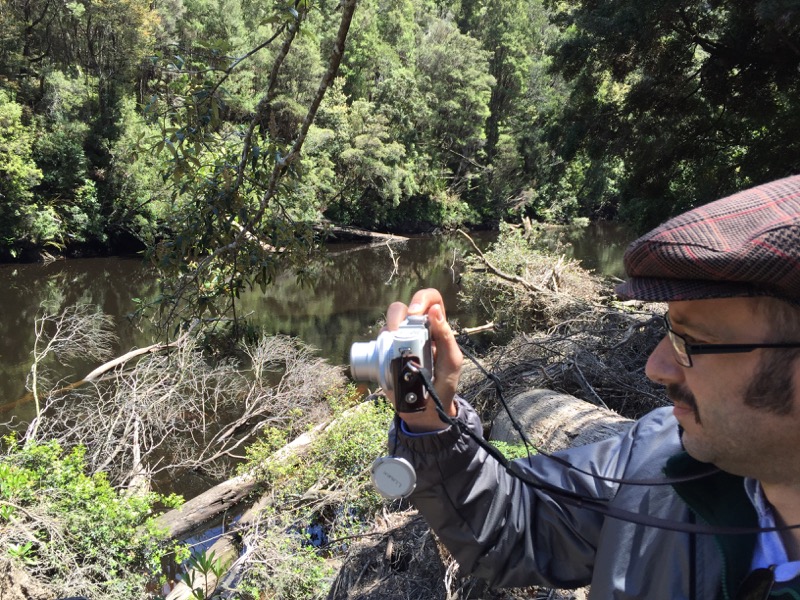
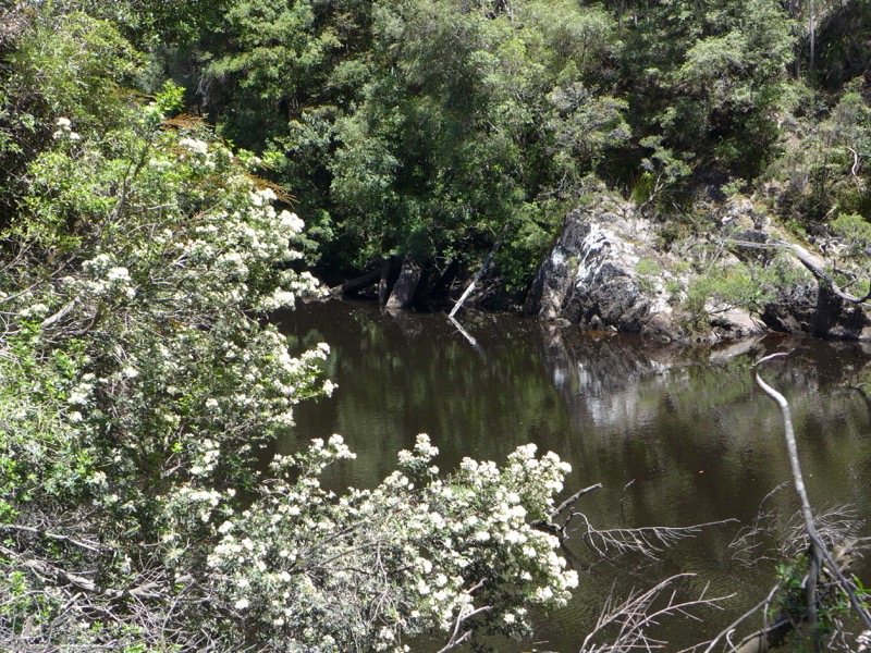
I asked Captain Keith (as I asked every Tassie local) whether they had ever spotted a thylacine. He said he had. They all had. I’m not sure if that’s just a story they tell tourists, or whether they all really believe they’re still around.
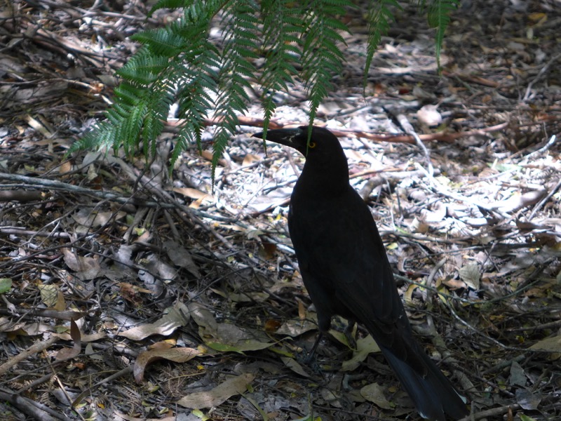
Back at the landing, we had our lunch of hamburgers and sausages and salad (complete with wine in a box!). This cheeky currawong managed to steal a bit of someone’s bread off their plate.
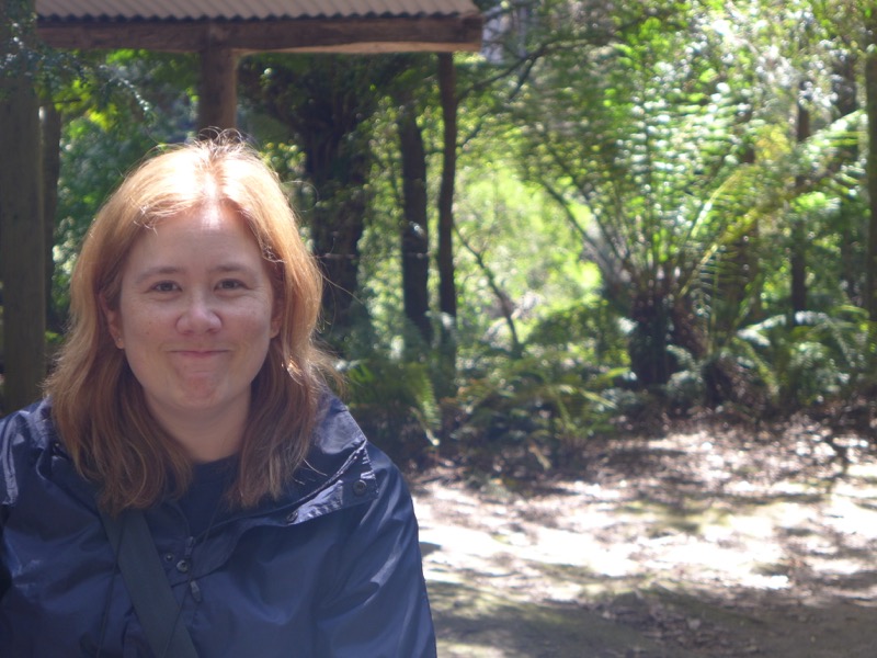
Another silly photo of me. Our guide told us that they’d recently had a quoll coming around the landing, but we didn’t spot him.
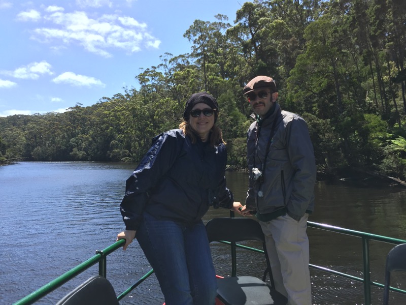
Back on the boat for the return journey.
Captain Keith yelled for me to come have my turn at driving the boat. (He invited all the ladies to drive the boat.)
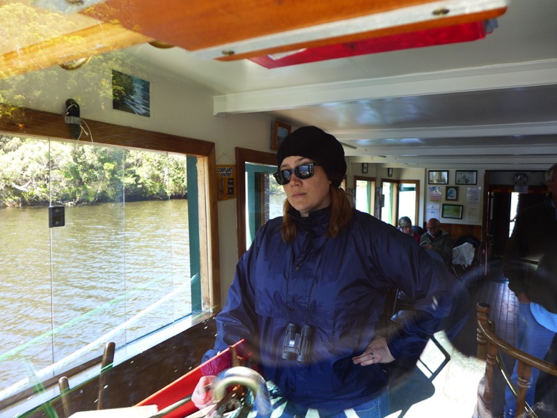
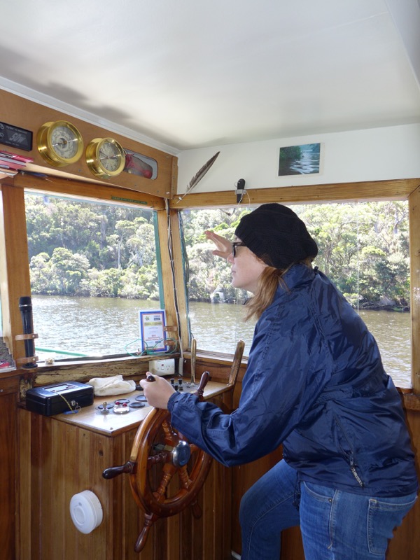
Being a riverboat captain requires CONSTANT VIGILANCE.
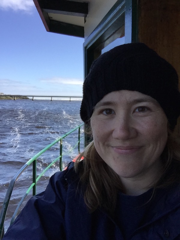
And a few more silly selfies to finish.
On our way back, we spotted one of the sea eagles by the riverside. We pulled up and our guide threw a fish out on the riverbank. As we backed slowly away, the eagle flew up from his tree and then swooped down to grab the fish. Very thrilling! Also very fast, which is why we didn’t manage a photo.
After the cruise we headed back to Stanley…
It was time to conquer the Nut.
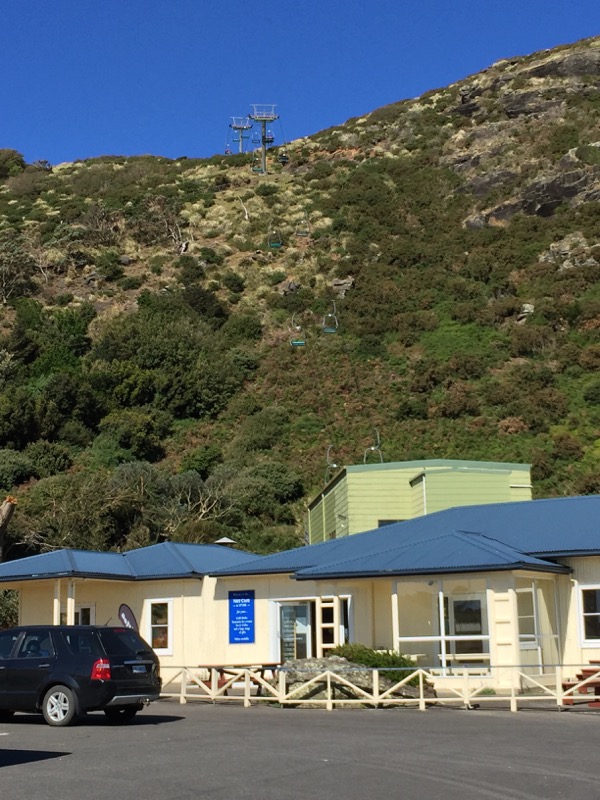
There’s a chair lift you can ride up and down from the base to the top.
Unfortunately we missed the closing time by like five minutes.
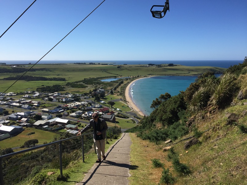
So we started climbing the zig-zag track to the top. The Nut, by the way, is 143m high. (That’s 469ft.) It wasn’t easy, but my grumbling about the damn chair lift soon faded in the face of the amazing view.
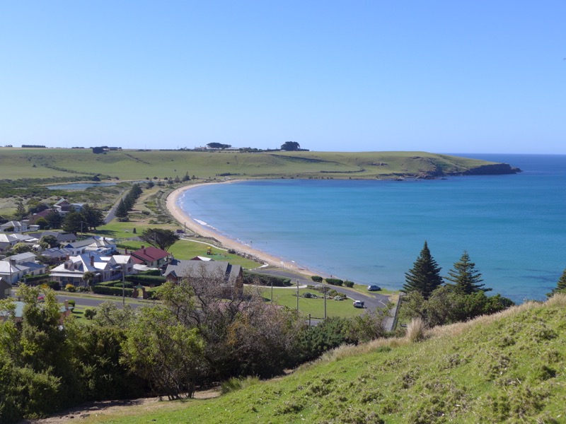
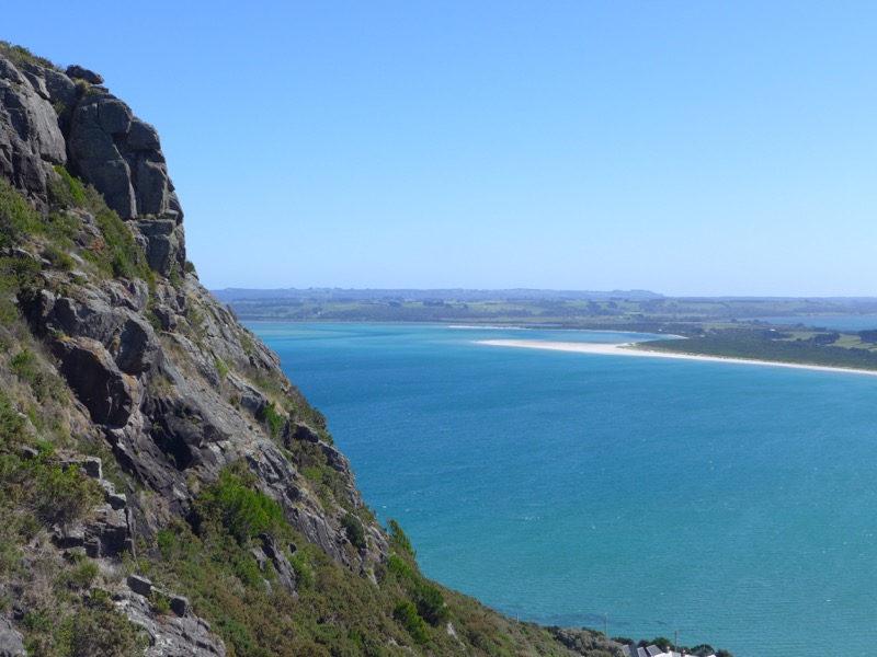
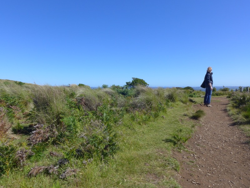
The Nut is a state reserve, and there’s a nice walking track (2.3km) around the top with plenty of lookouts.
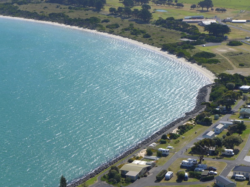
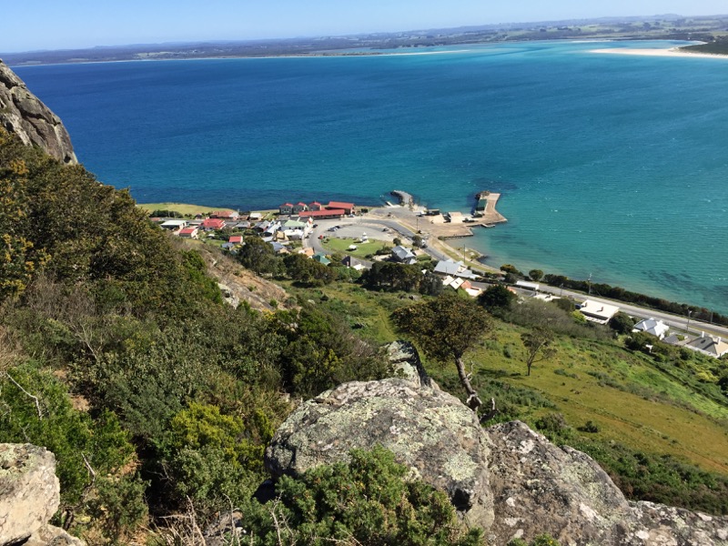
That’s our guesthouse the VDL Stanley down there in the middle!
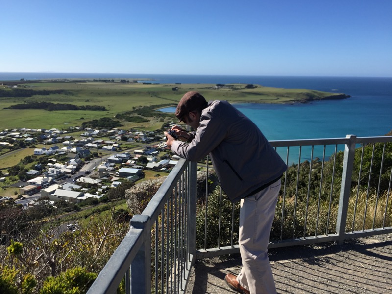

Where’s the beach, Mr Snook? THE BEACH IS THATAWAY.
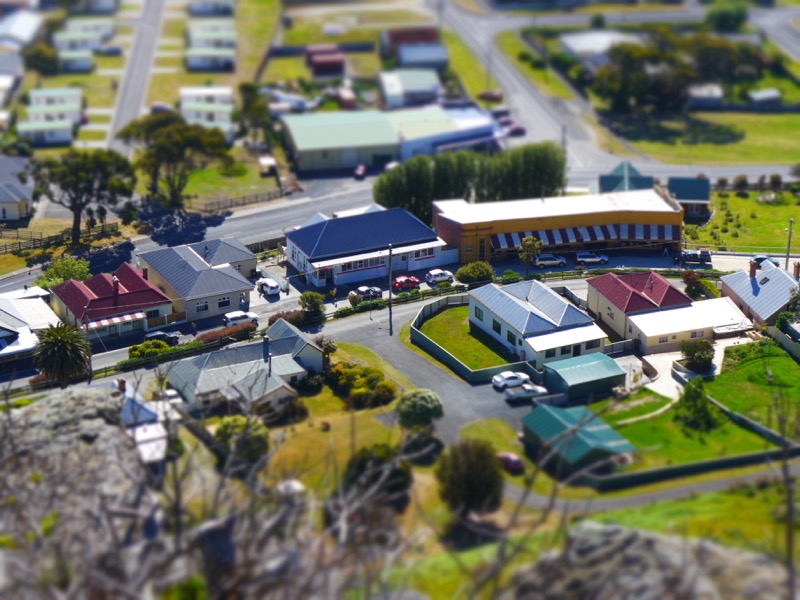
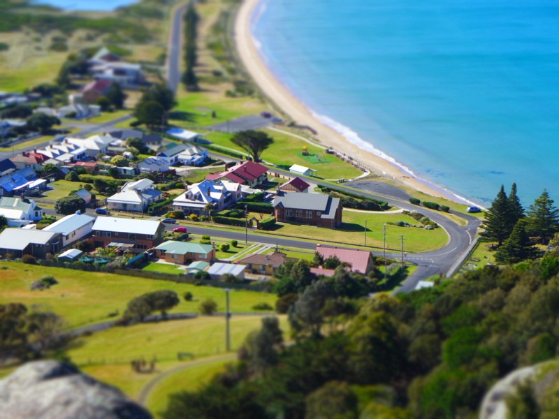
He went nuts with the tilt shift mode again.
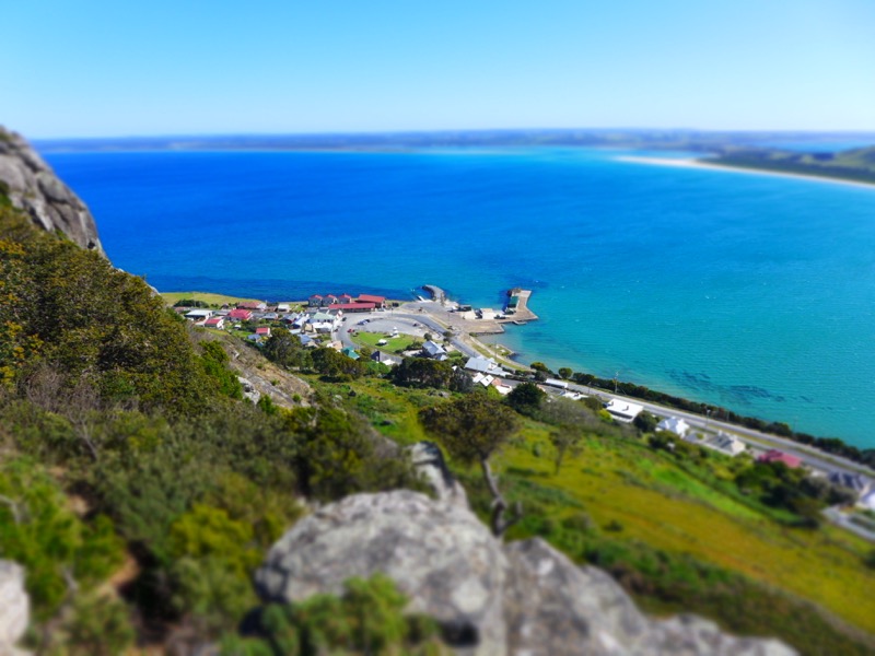
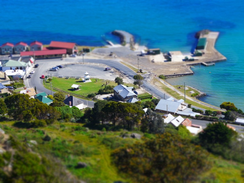
Even without the tilt shift, I decided that Stanley has officially supplanted Kiama in my list of Cutest Towns in Australia. Seriously, I loved it. I told Rodd that we need to retire there someday.

Panorama from one of the lookouts.
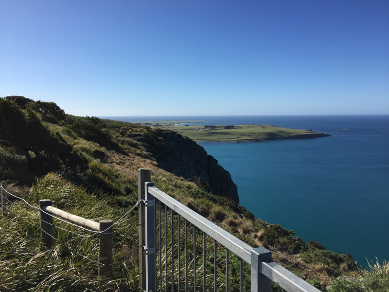
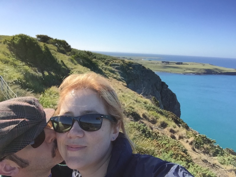
It literally could not have been prettier. Oh, and did I mention that there’s a colony of fairy penguins at the base of the Nut? We didn’t see them, but you can see them come up onto the beach at dusk.
For dinner, we went to the Stanley Hotel Bistro, which was very popular with the locals. It was pub food, but it was done beautifully with lots of local ingredients.

Rodd had the fillet of ocean trout…

While I had venison sausages from King’s Feast in Ulverstone.
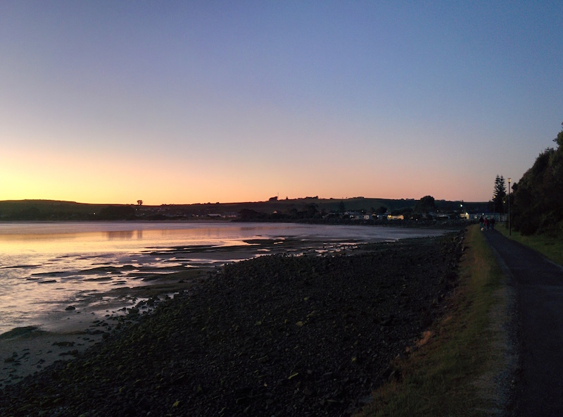
After dinner, we walked back along the water’s edge to take some photos of the harbour and our guesthouse at dusk.


I absolutely loved Stanley, and I definitely want to go back and stay there for longer!

They even have a big thing! This is the Big Rock Lobster at Hursey Seafoods.

Everyone told us that Moby Dick’s Breakfast Bar was the best place to start the day. I had the green eggs and ham. Very good brekkie.
It was time for our food tour. I’d done my research on the Cradle to Coast Tasting Trail, and we had a list of places to stop as we made our way from Stanley to Deloraine.

First stop: Hellyers Road Distillery. Mr Snook had a tasting while I simply sniffed. (I was driving.)


The property was lovely too.

Our second stop was King’s Feast in Ulverstone (makers of my sausages from the night before). We bought a ginormous pork pie to have for lunch. Then we stopped off at Turners Beach to enjoy it.

Third stop: Turners Beach Berry Patch! The place was crowded with families.

I had a delicious ice cream cone with fresh raspberries and blueberries.

Fourth stop: House of Anvers chocolate factory! We watched some chocolates being made and then headed straight to the tasting room and shop.

Fifth stop: The Cherry Shed. We sampled and bought some preserved cherries, then played in their Big Cherries next door.

Sixth stop: Seven Sheds Brewery. This tiny brewery was literally housed in some sheds in someone’s backyard! Mr Snook tried some beers and we bought a bottle of Black Inca, which used chocolate from the House of Anvers chocolate factory we’d visited!

Mr Snook was especially interested in their hop garden.

Seventh and final stop of the day: Ashgrove Cheese. We had already had some of their cheese on the Bruny Long Weekend, but we couldn’t resist another sampler.


I gave a cow statue a hug.
Now completely stuffed, we ventured off the main roads to our destination for the night: Forest Walks Lodge…

Forest Walks Lodge is an eco-lodge hidden in Jackeys Marsh. I think Rodd was worried we were going to be staying in some hippie hovel. Instead it’s more like a Grand Design. Rosemary and Sean have created something truly beautiful on this property.
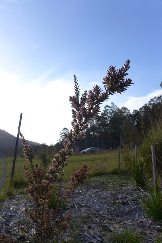
We were the only guests on the night, and we had pre-paid for dinner (since we were far away from any restaurants). We went exploring while our dinner was cooking.
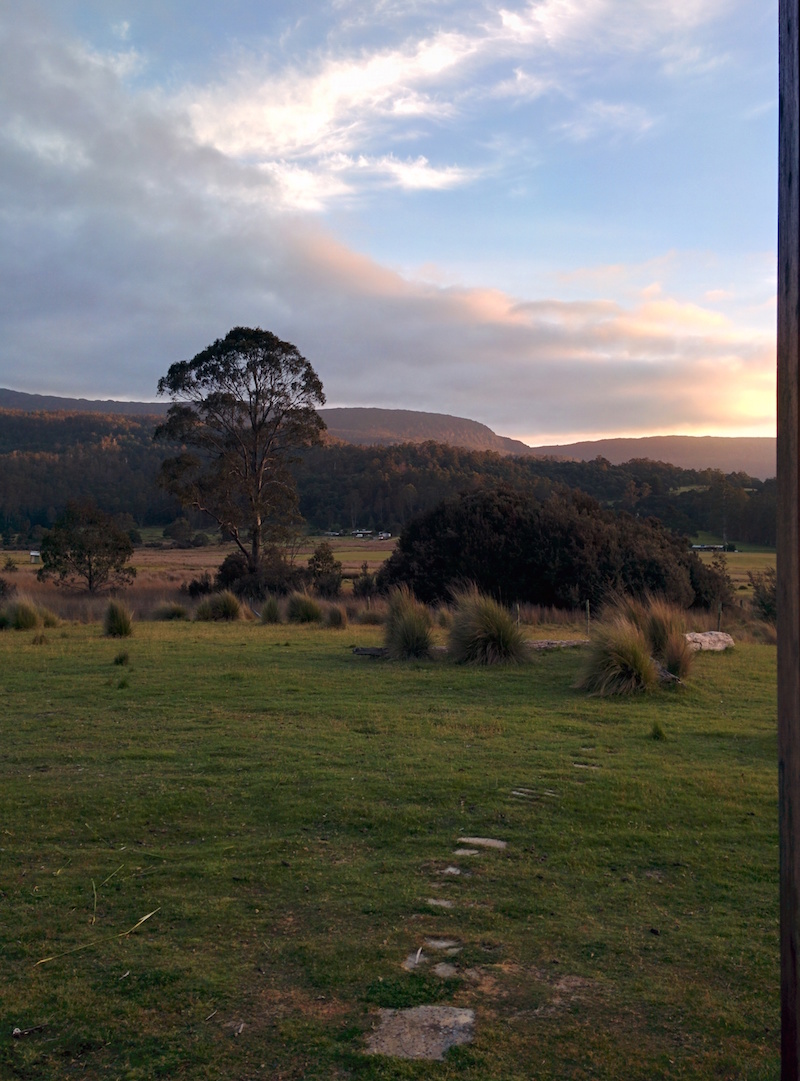
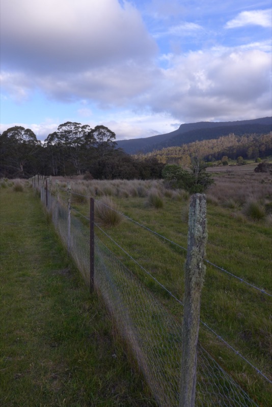
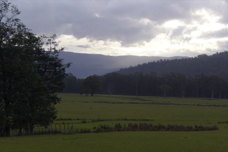
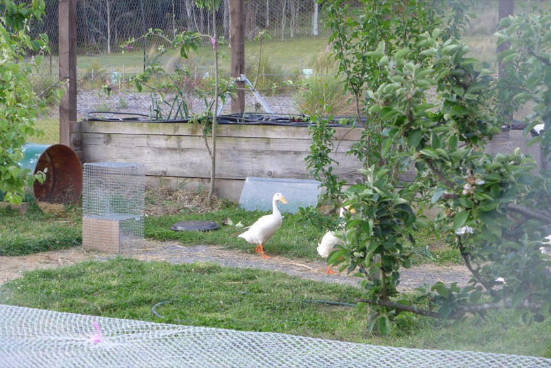
We watched amused as the Japanese WWOOFer tried to chase the ducks back from the neighbour’s paddock. Eventually they waddled back on their own. They get locked up in the fenced-in veggie patch every night (to keep them safe from predators, and the veggies safe from wallabies).
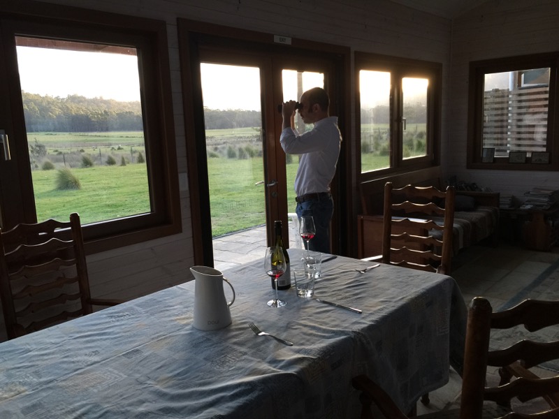
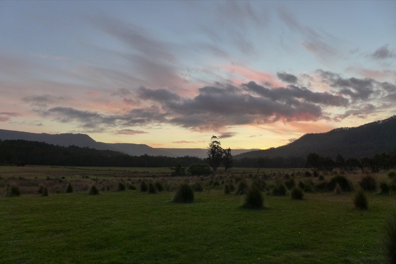
Watching the sun set behind the peaks.
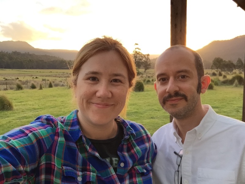
Not a bad little photo of us.
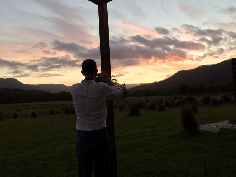
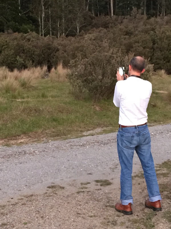
Mr Snook tried to capture the scene.
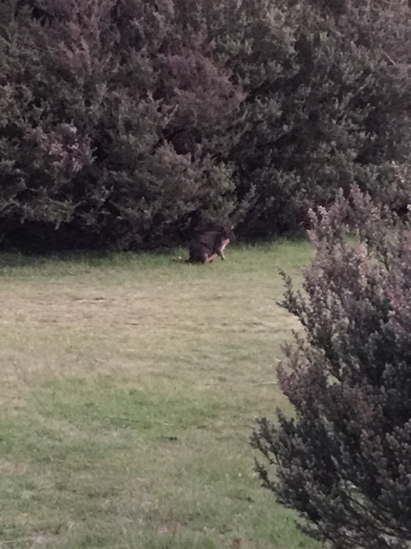
Suddenly I saw a pademelon emerge from the bush!
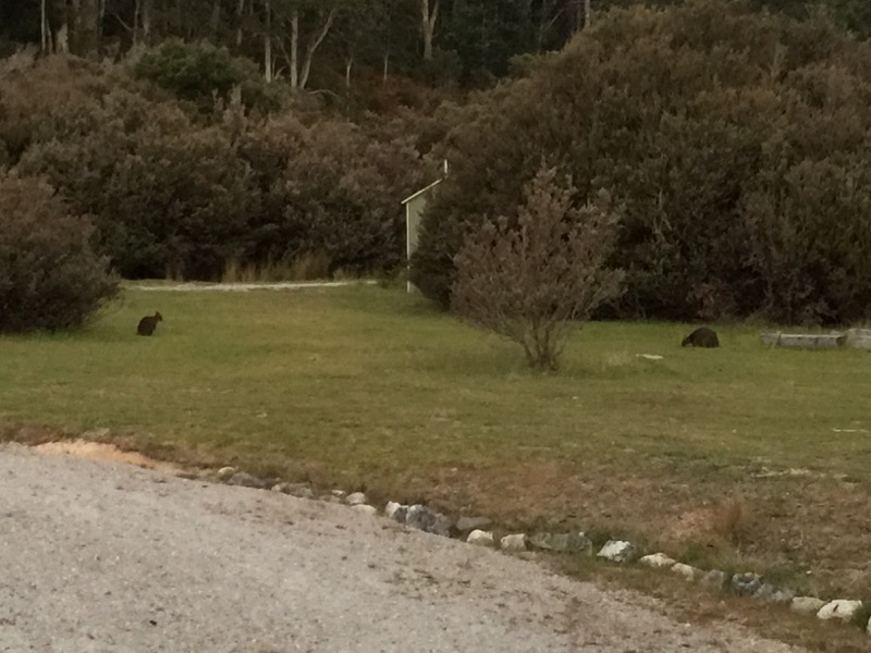
They were all over! We were able to get fairly close to take some photos.
For dinner, Sean made us a duck egg omelet with mushroom and then a gorgeous venison pie.
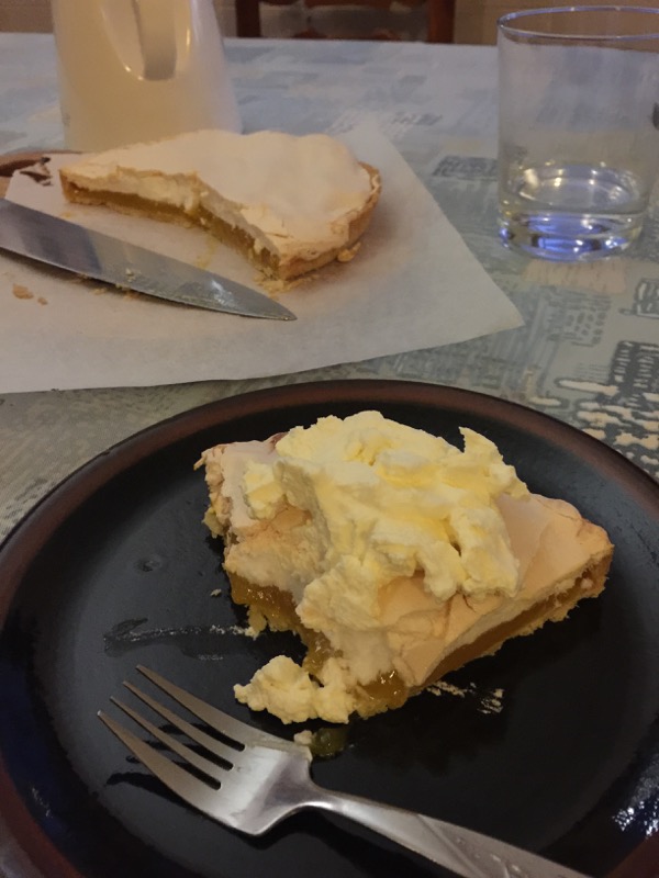
And for dessert, lemon meringue tart!
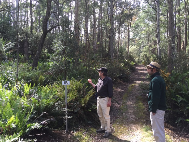
Sean is an ecologist, and you can book a rainforest walk with him. We did that the next morning. I was looking forward to it right up until the minute he packed a snakebite kit. Yikes! But it ended up being fine.
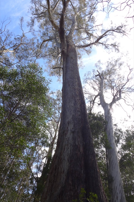
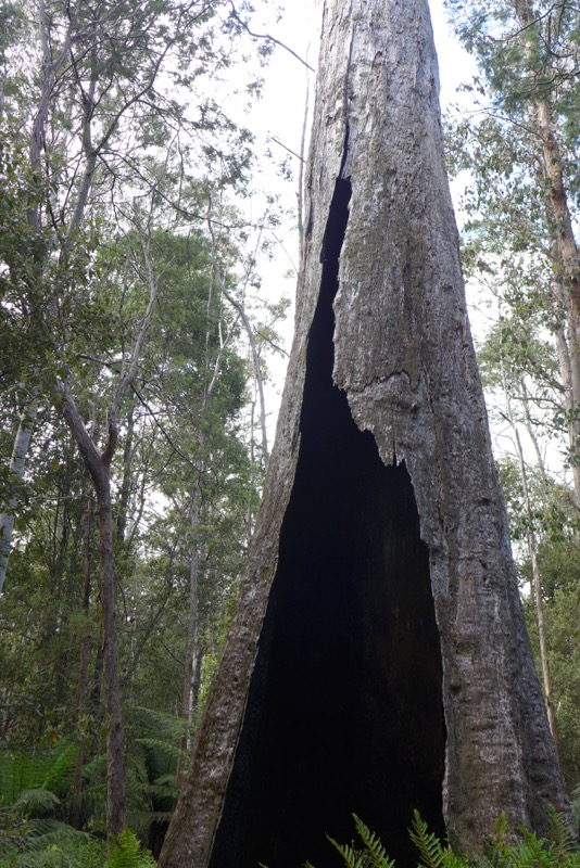
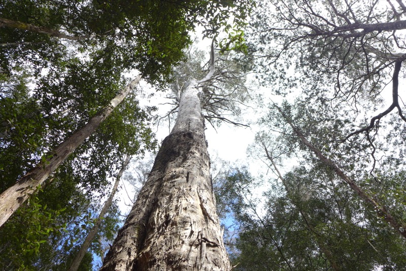
Sean explained the different microclimates we walked through and how the trees respond to events like fires.
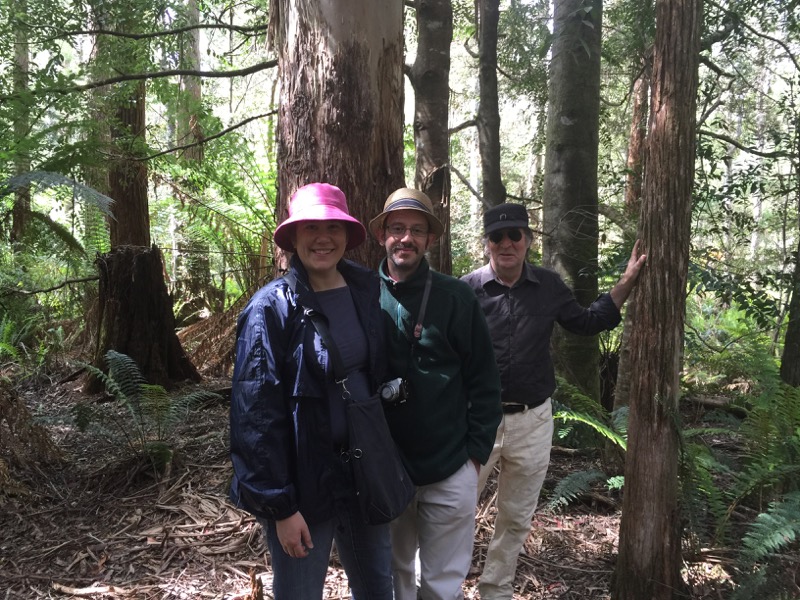
The Japanese WWOOFer accompanied us and offered to take a photo.
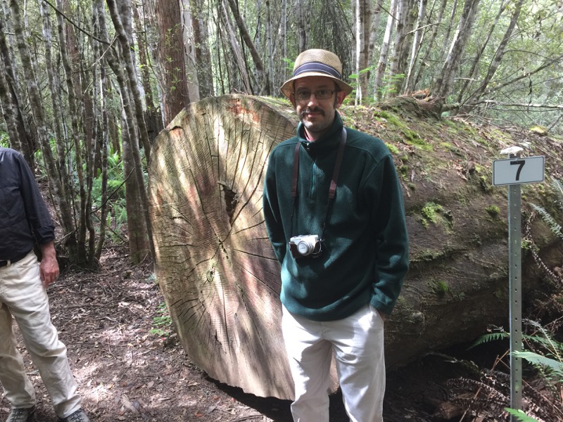
There were some very big trees. Very big.
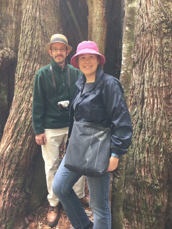
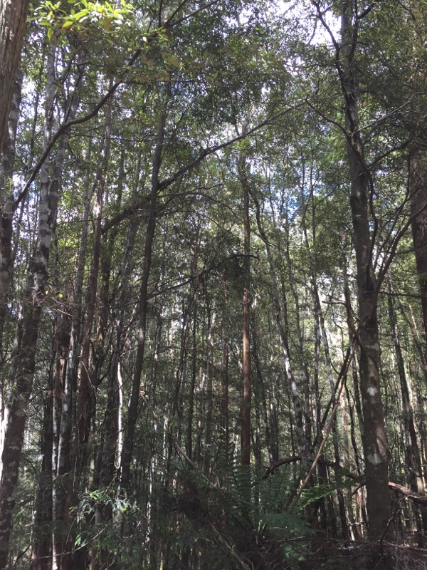
Reluctantly we said goodbye to Sean and Rosemary (and their friendly WWOOFer) and headed back to the highway.
It was time to head back towards Hobart. Rather than stay on the highway, we took the far less travelled road down through the Central Highlands. At one point there’s about a 20km stretch that isn’t paved, but the gravel road was in fine condition and we made it through without issue.

We stopped at a lookout to get a view of the Great Lake.

We stopped in for lunch at the Central Highlands Lodge near Miena. Nice little place.

At last we made it to Bothwell to the Nant Distillery. This property was incredibly picturesque, and they actually use the water from the River Clyde to make their whisky!

We had booked into a tour, where we learned that the water also powers the actual barley mill. Unfortunately photos were not allowed inside the tour, but we did end up having a nice little tasting at the end of it. (Though in my case, again, I was only allowed to smell since I’m driving.)

See how picturesque? Mr Snook also bought a tiny bottle to take home as well. (This stuff is seriously expensive.)
We stayed that night in Richmond, a tourist town not far from Hobart Airport. Unfortunately Richmond turned out to be the only dud of the trip. It just wasn’t our thing. It’s billed as important and historic, but I didn’t warm to the fake “ye olde” Georgian reproductions. The dining options were uninspiring, and we ended up at the local pizza joint (which wasn’t amazing, but at least wasn’t expensive either).
Our hotel was Hatcher’s Manor and… it’s a weird place. The thing is like a folly. I had read the reviews that made it sound pretty campy. But hey, I like campy! I thought it would be “campy good,” but instead it ended up more “campy creepy.” It’s just overloaded with “ye olde English” frippery. Our room was the Tower Suite, and honestly it felt a little sad and run down. It felt like we were in an episode of the Twilight Zone.

The next morning we had breakfast at Richmond Bakery and then wandered down to see the old bridge. It’s the oldest bridge in Australia, and it’s pretty. So there was at least one part of Richmond that I liked!
And that was pretty much it. We headed to Hobart Airport, returned the rental car, and caught our flight back to Sydney.

Favourite souvenir from the trip is definitely my thylacine oven mitt. 🙂
The end!
